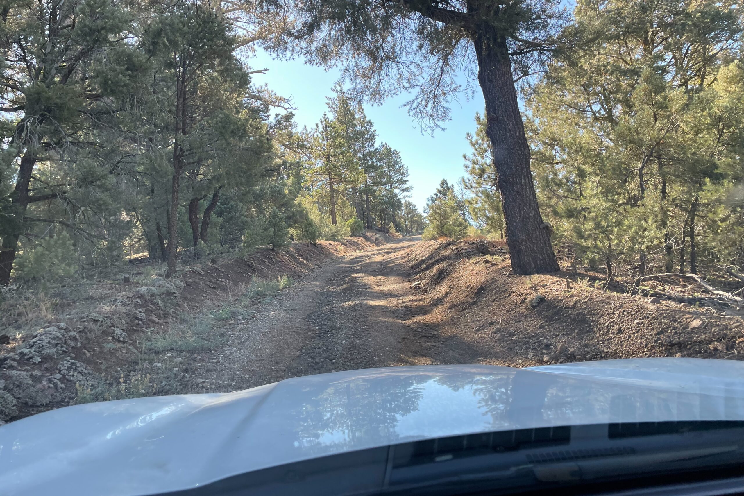
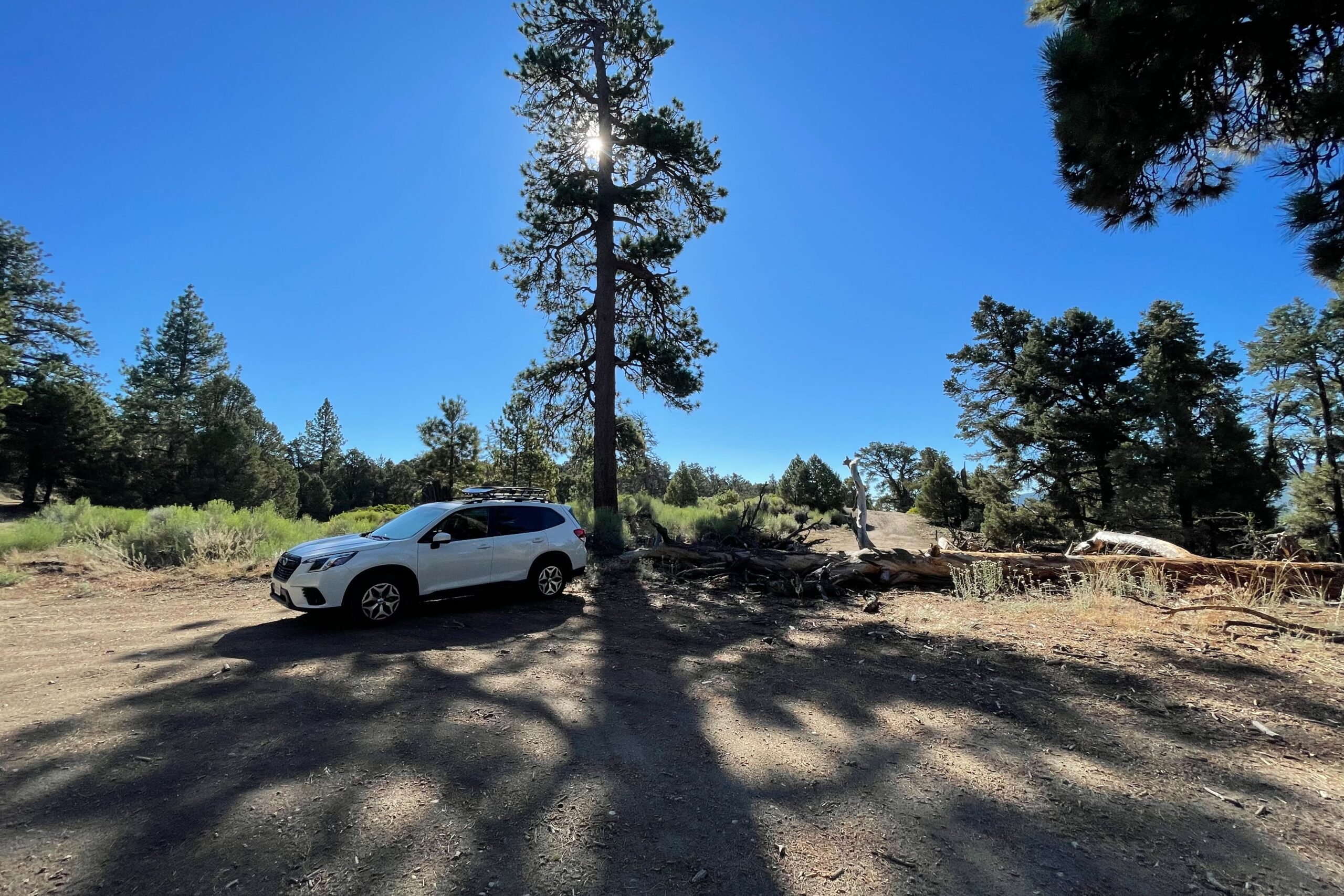
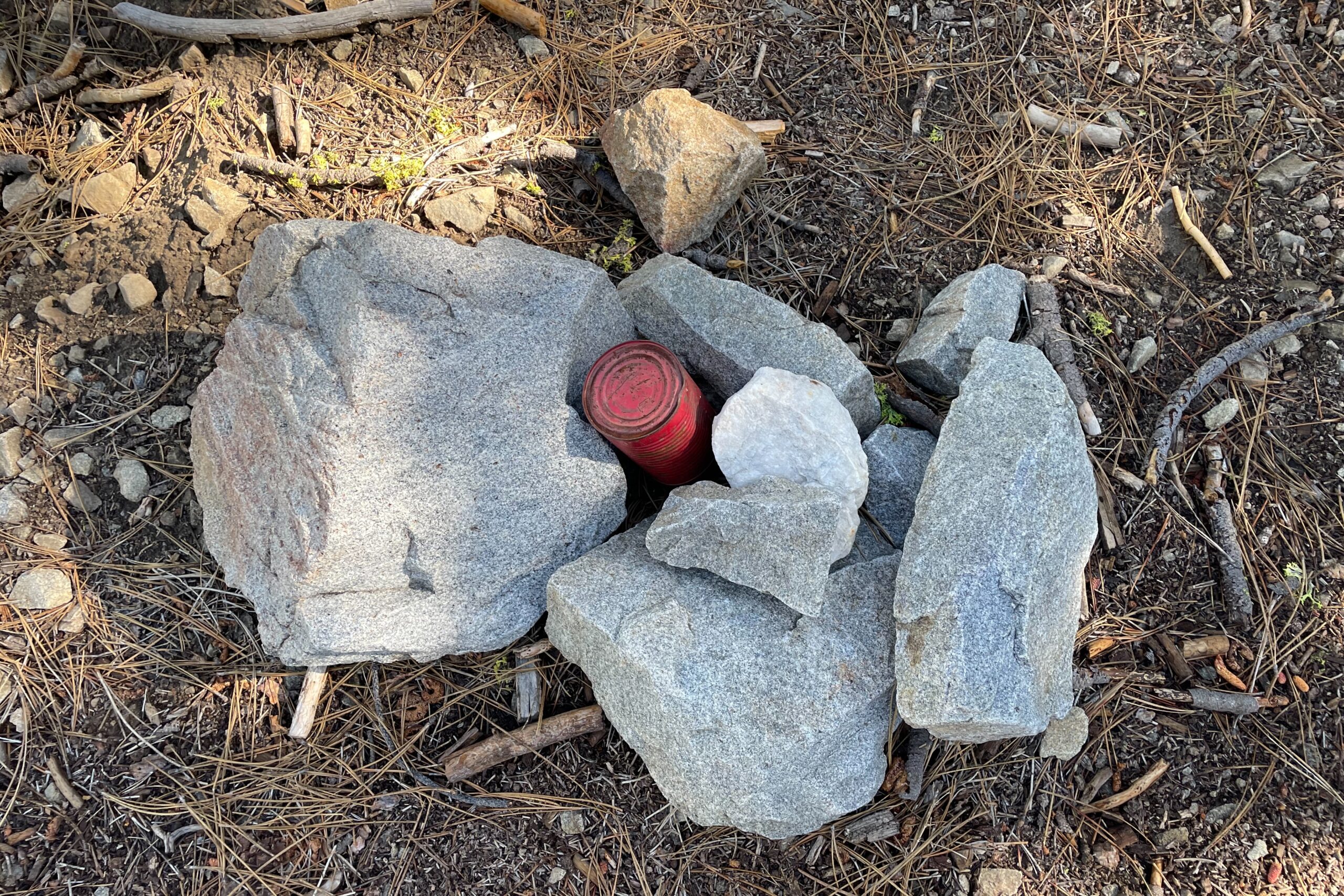
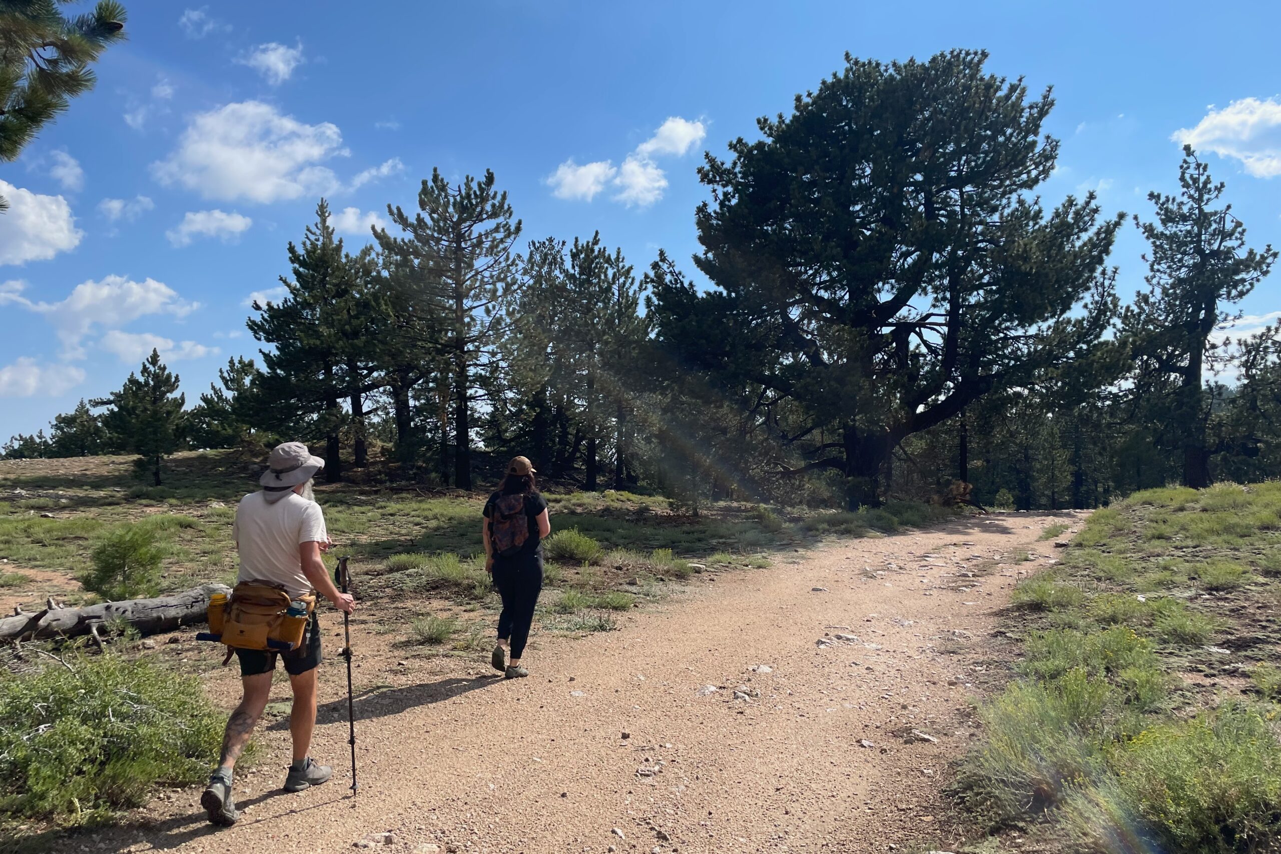
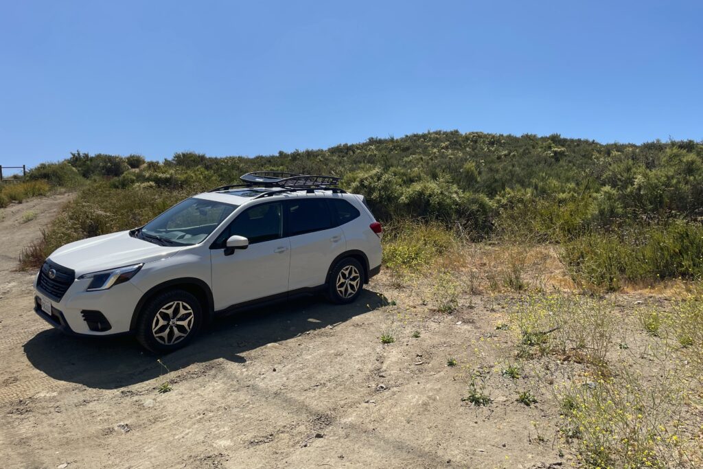
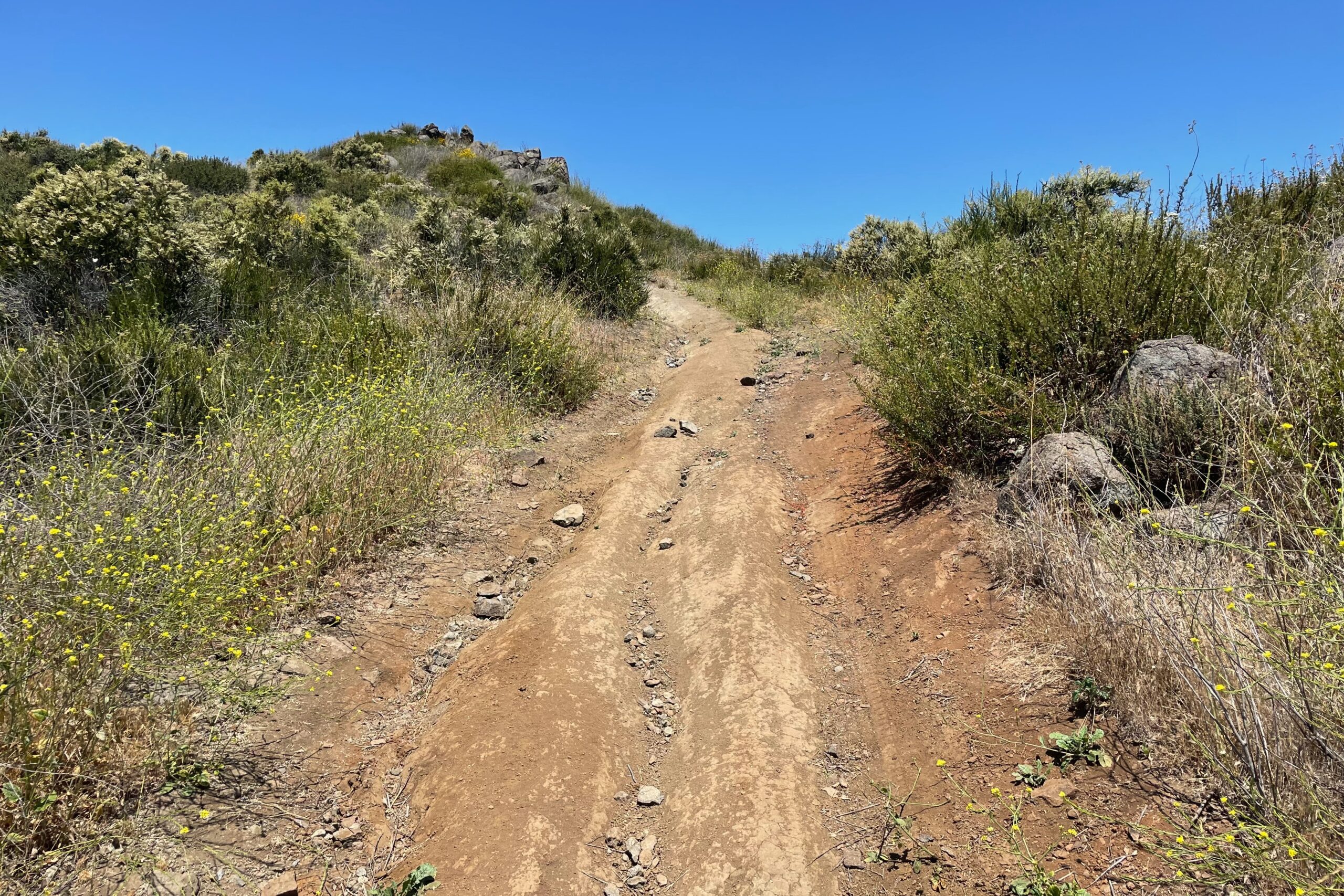
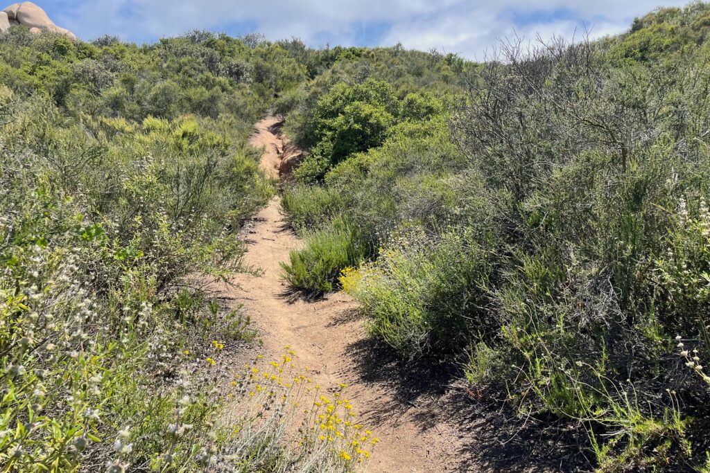
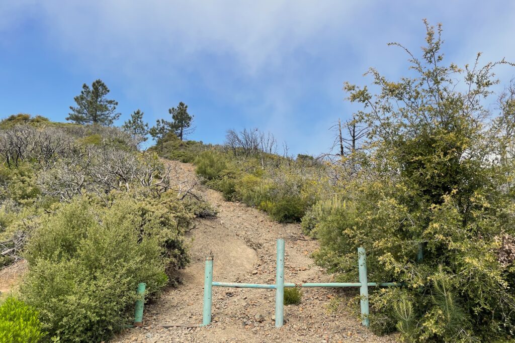
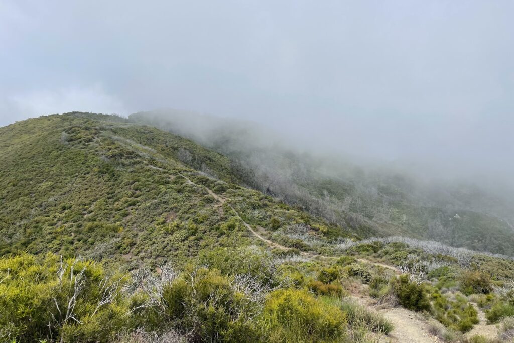
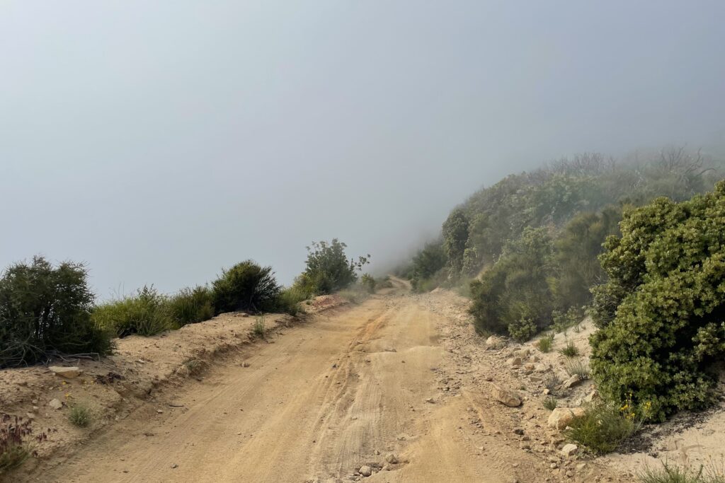
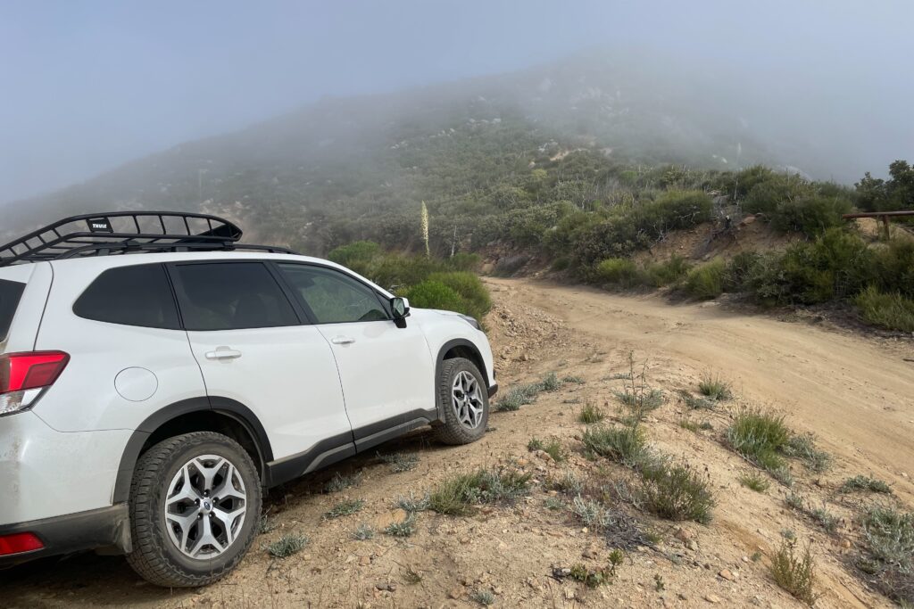
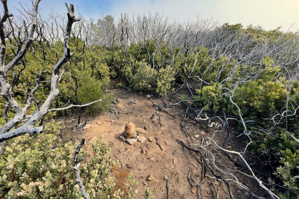
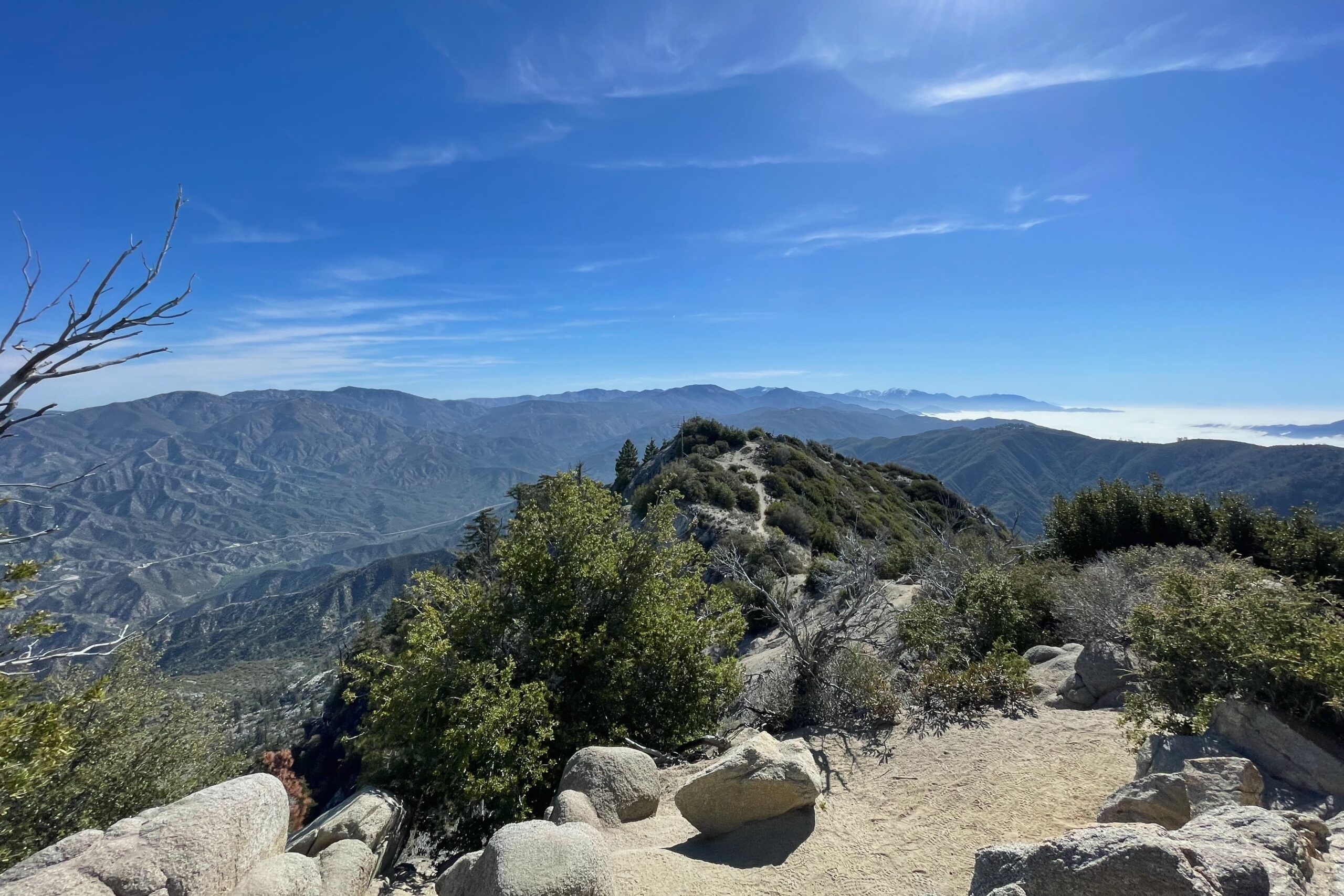
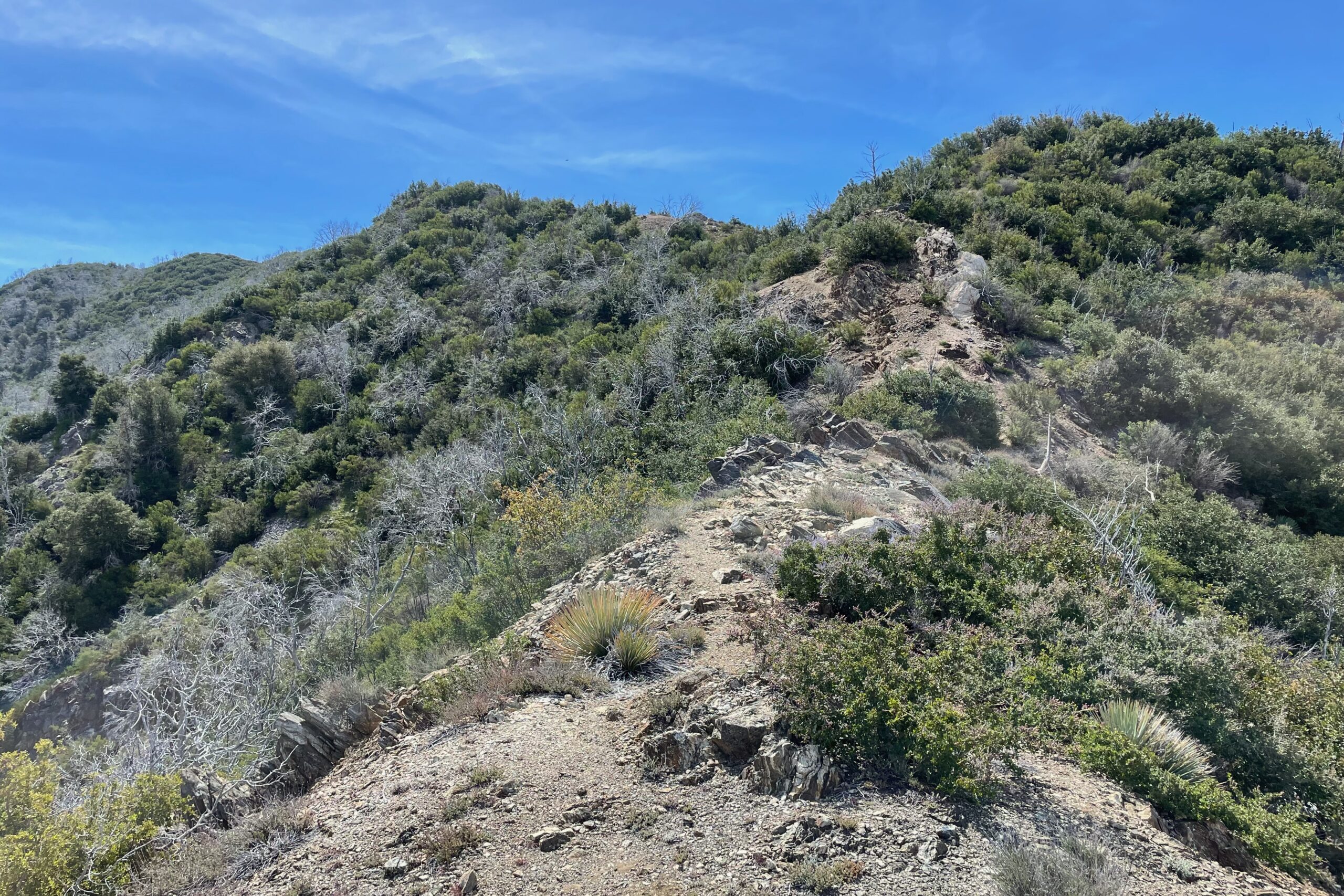
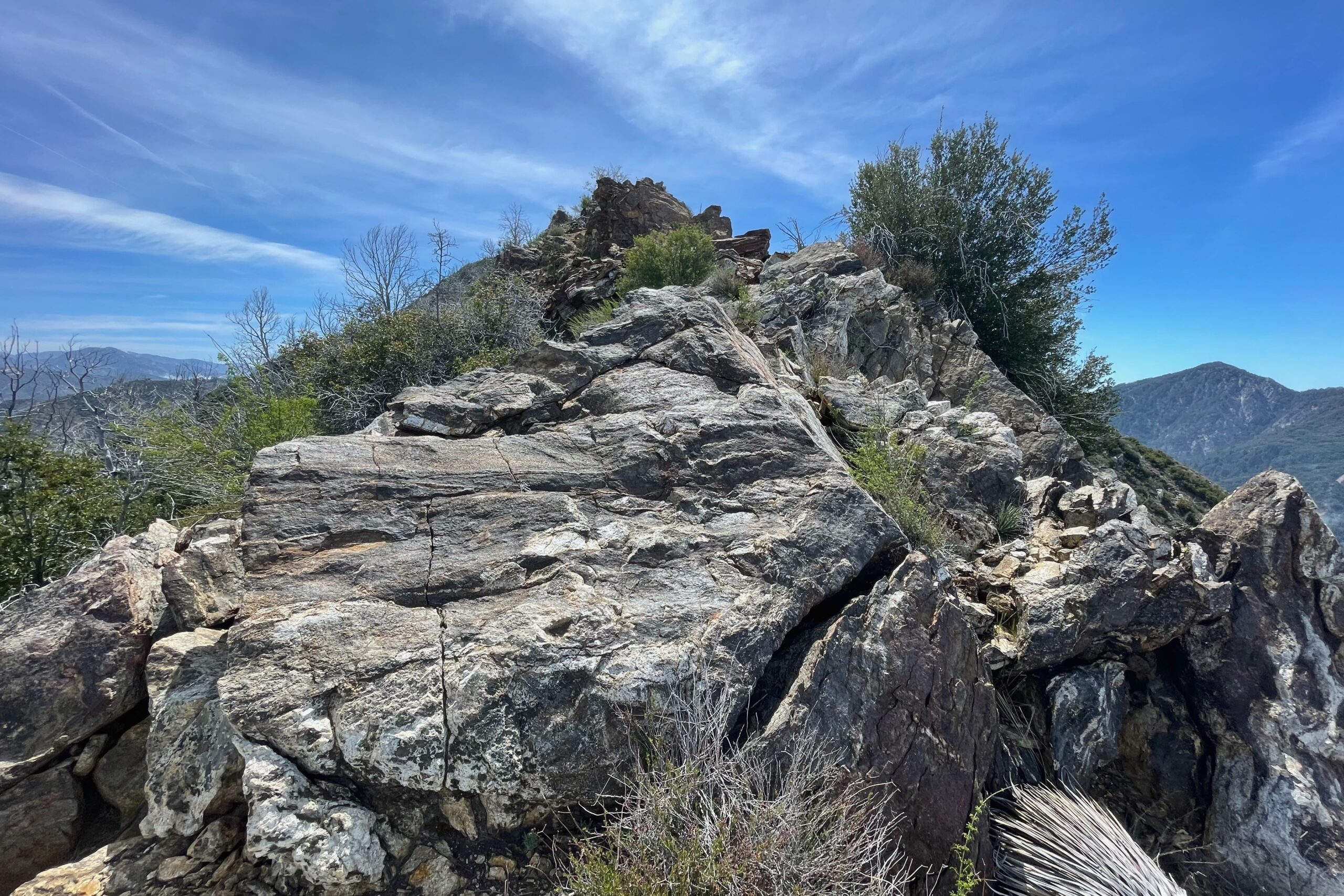
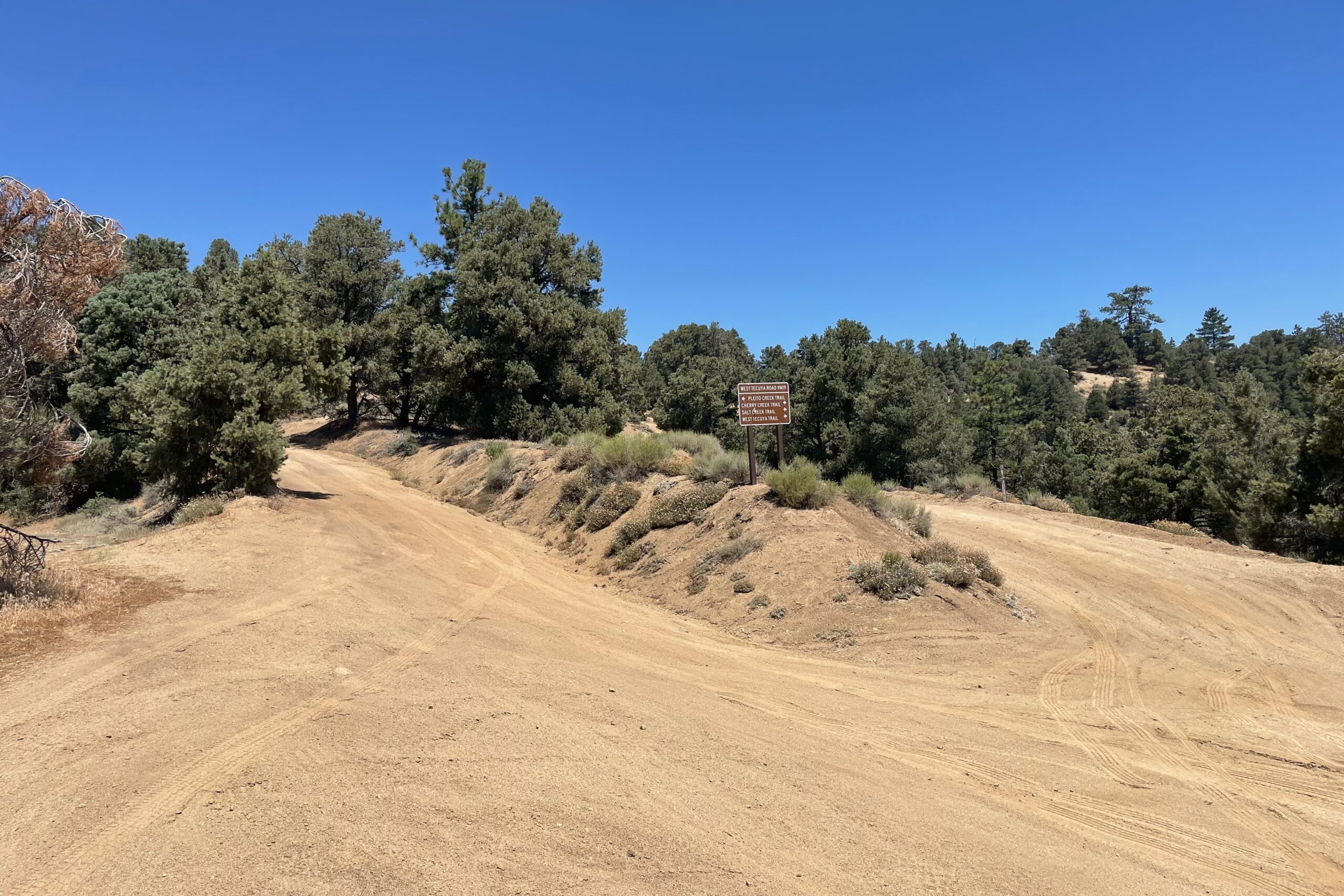
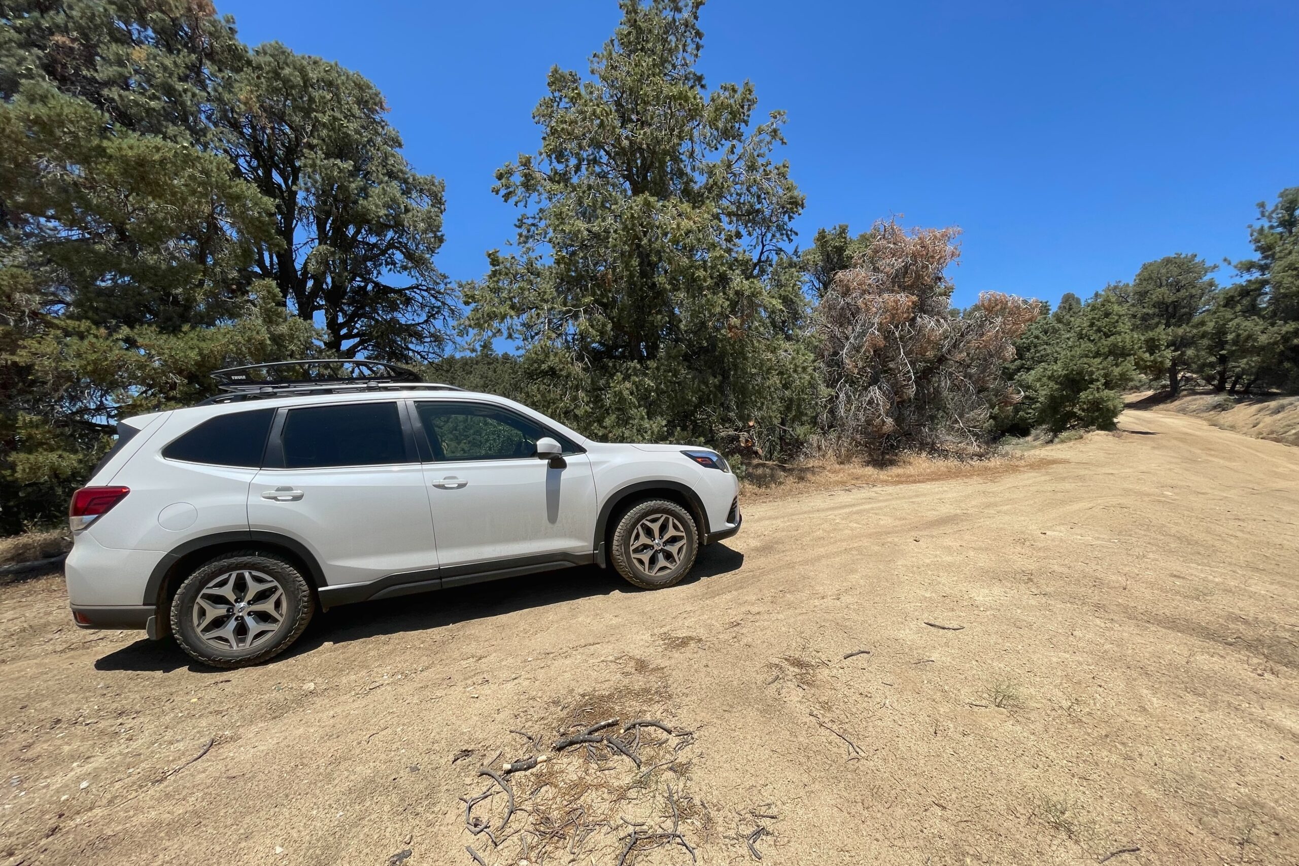
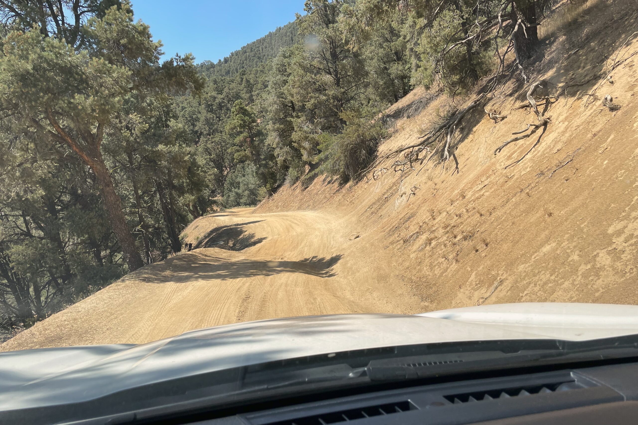
This was definitely a fun summit. There were multiple times on the way up and down where the Subaru had two wheels off the ground. I could have gone further up in the car, but I saw a parking spot and took it, hiking the road for a bit before hitting the trail to the summit.
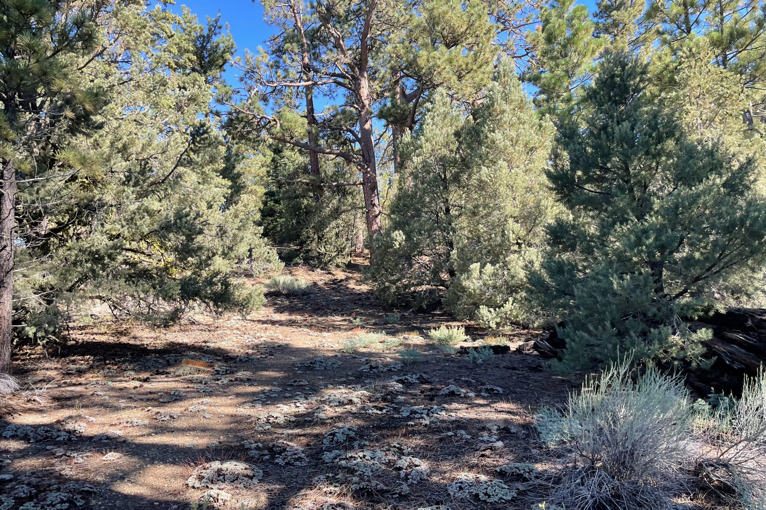
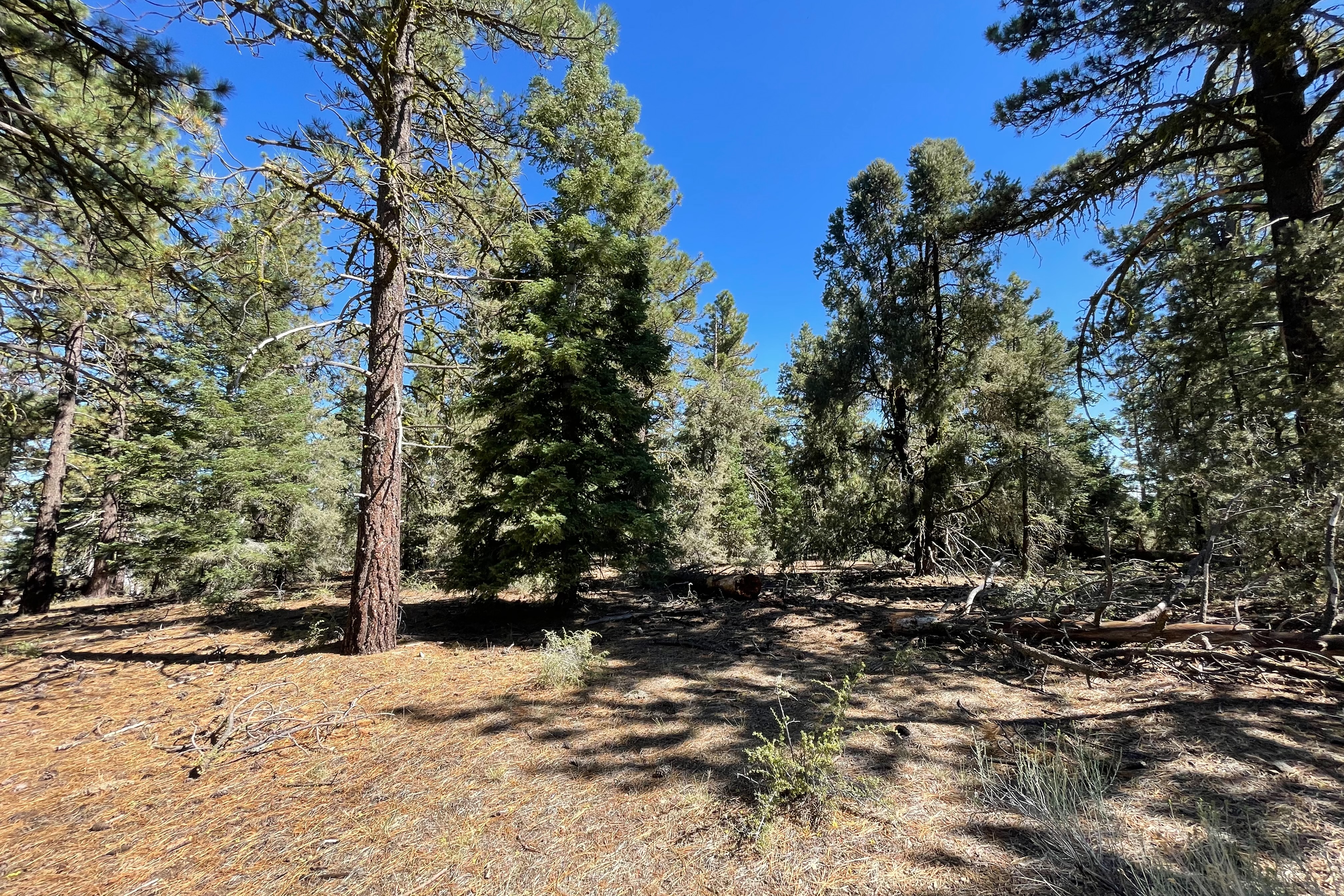
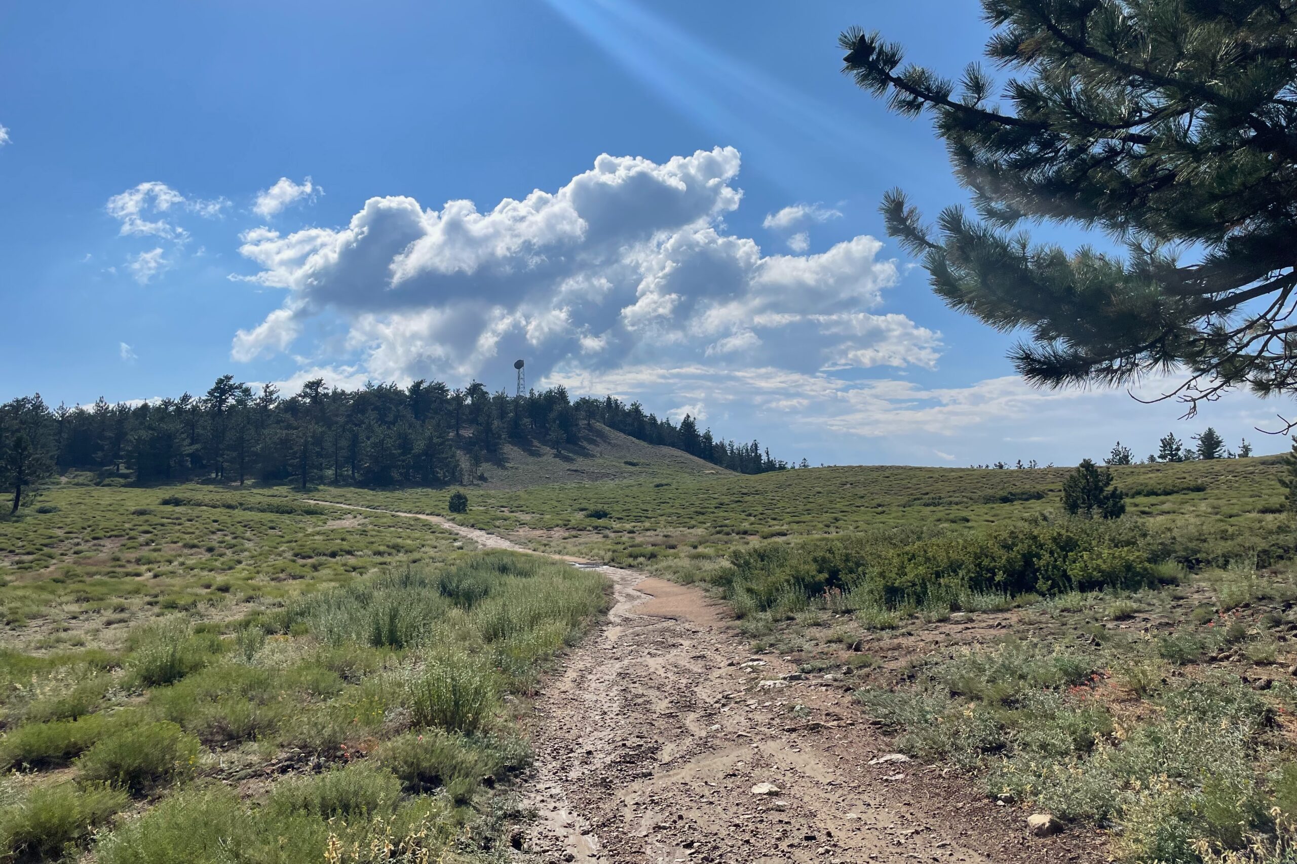
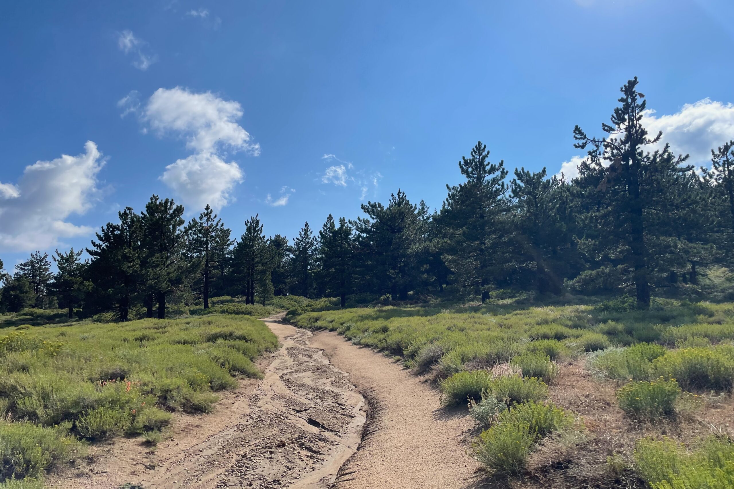
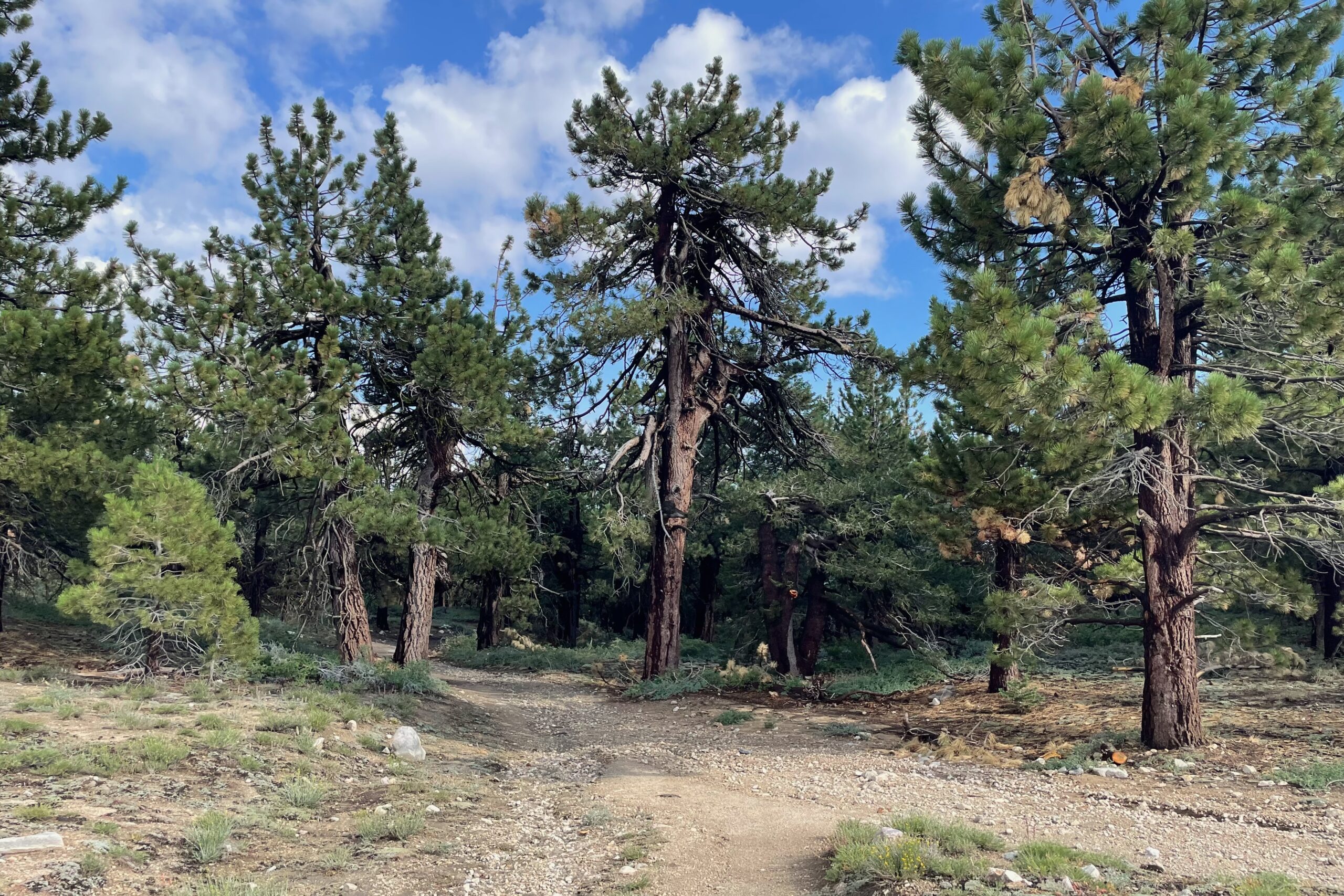
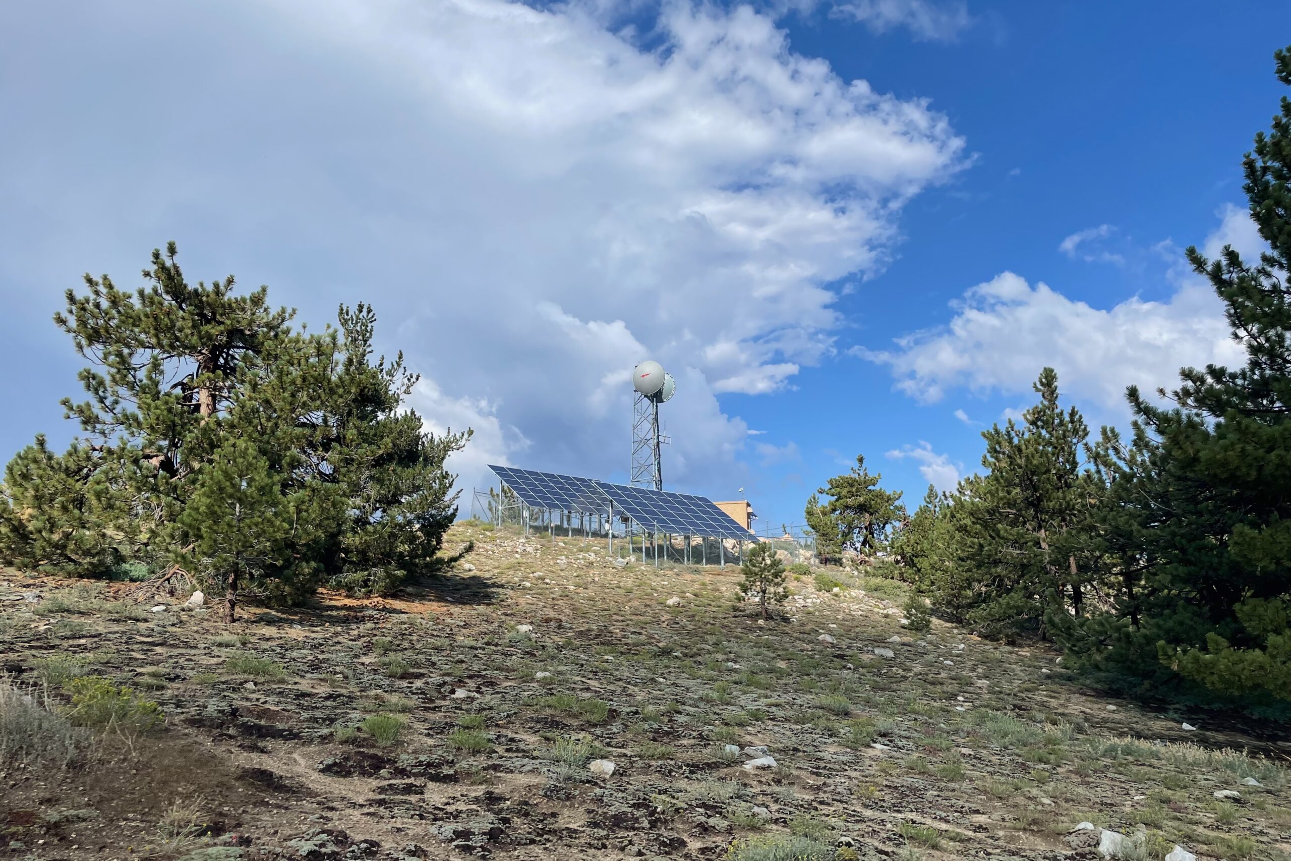
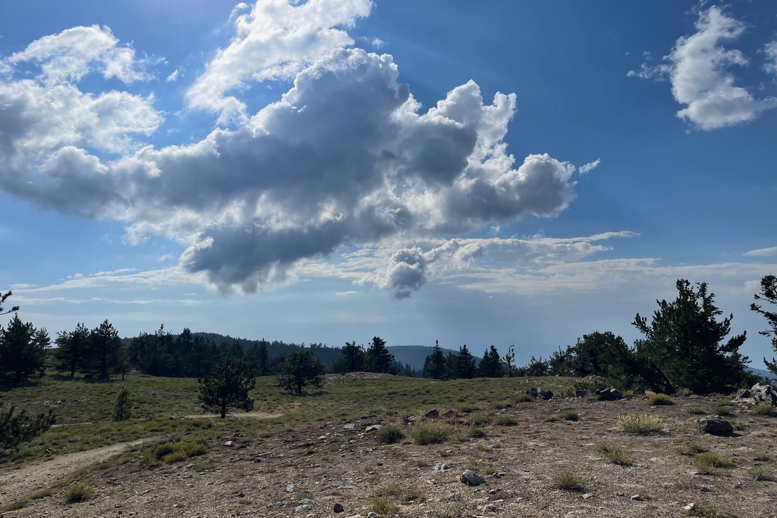
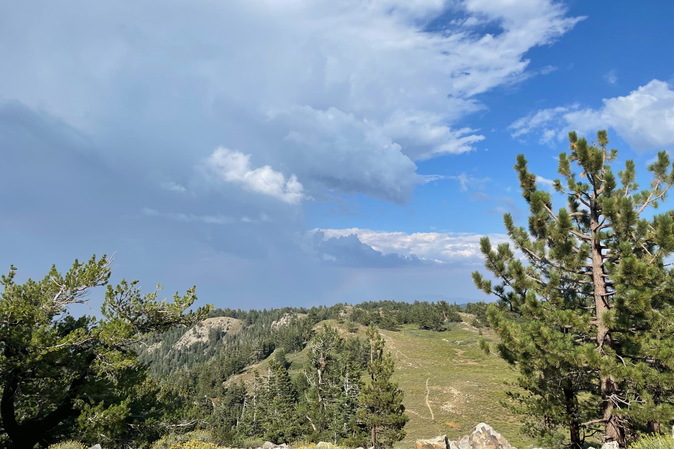
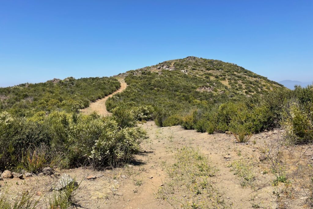
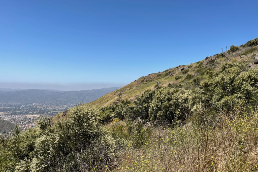
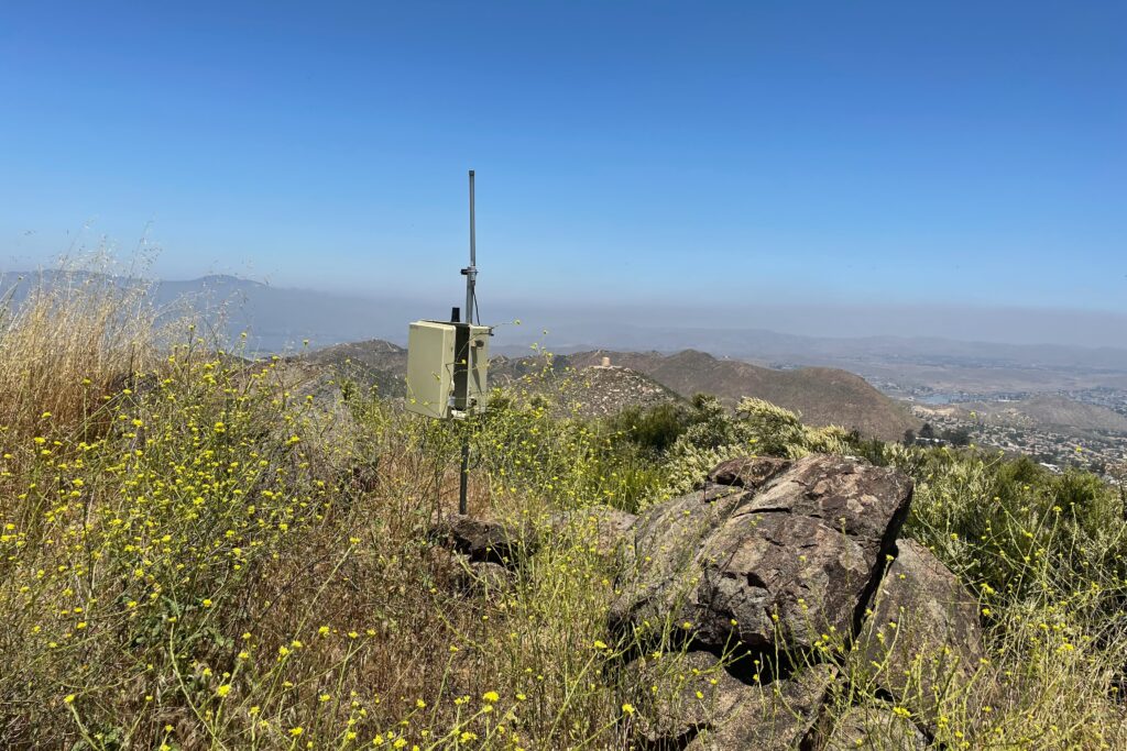
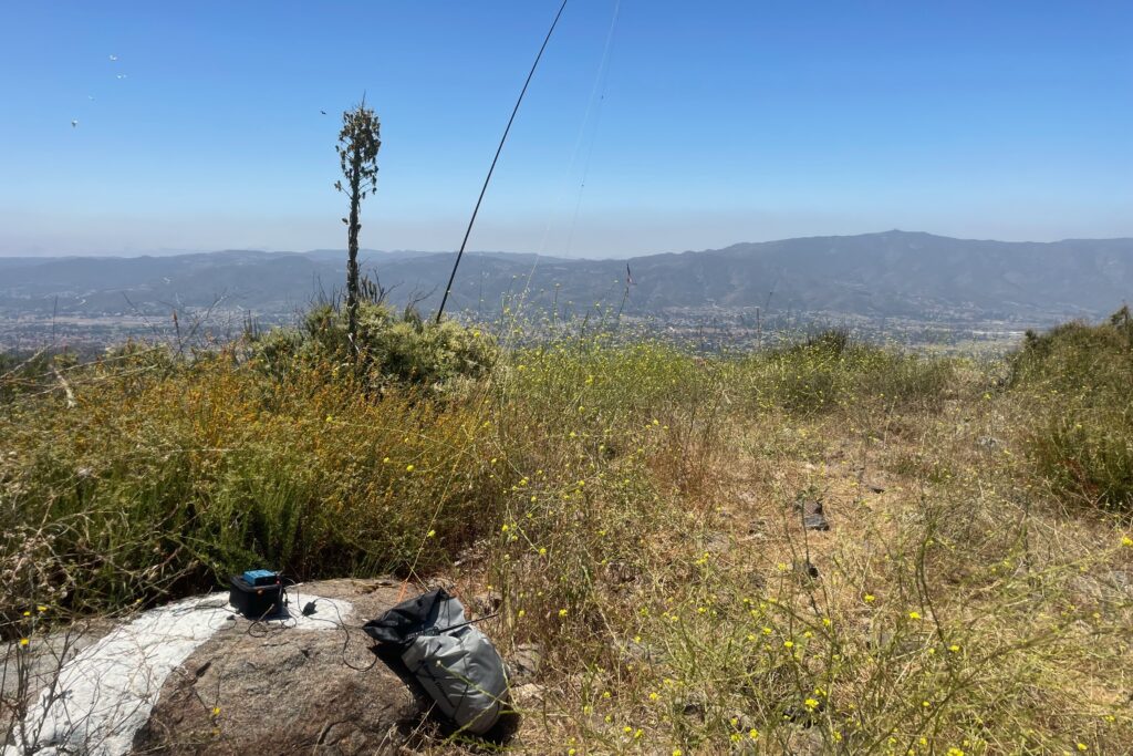
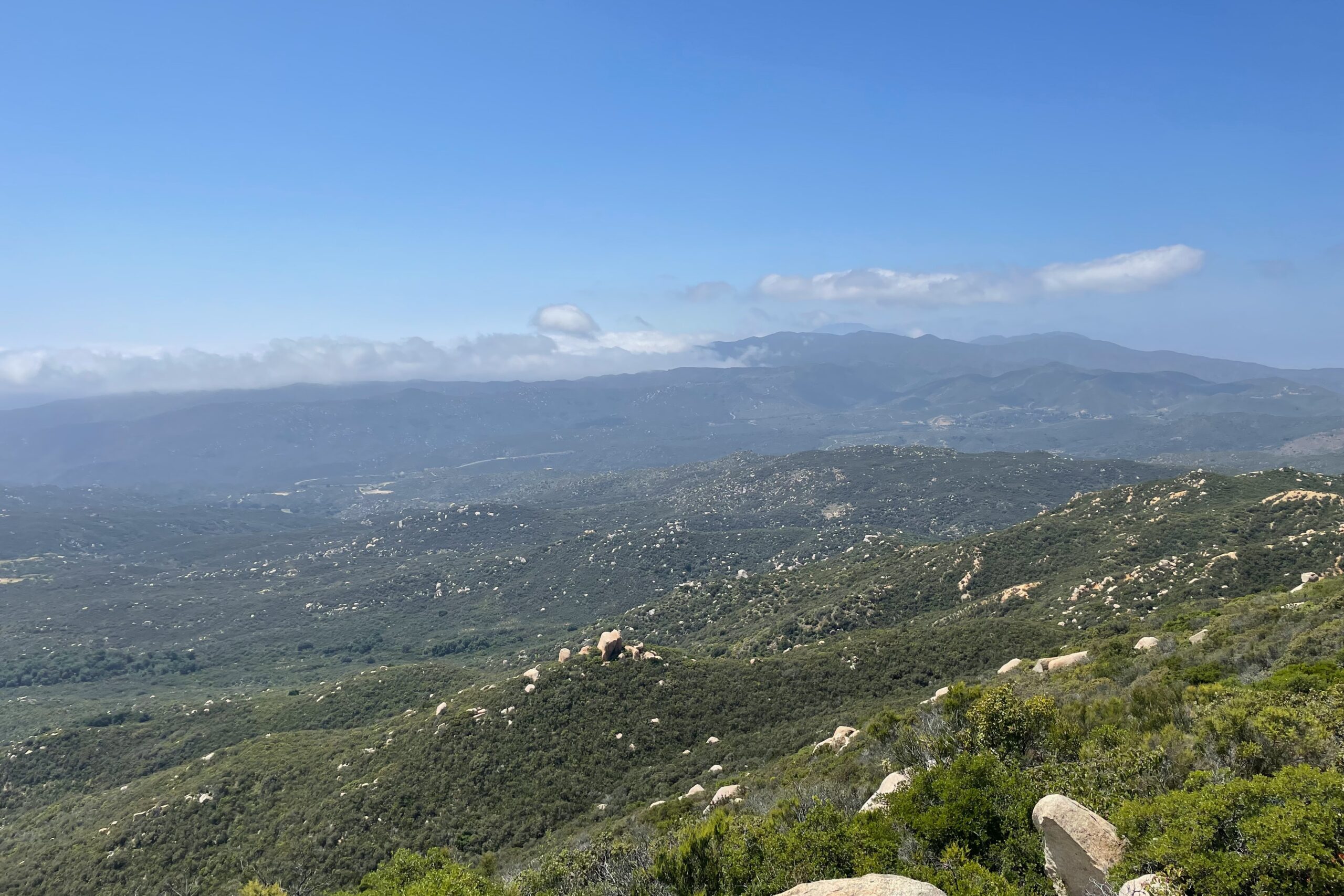
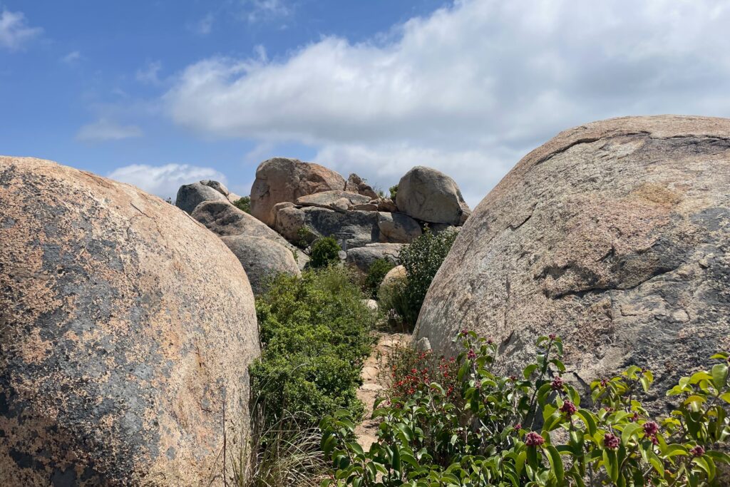
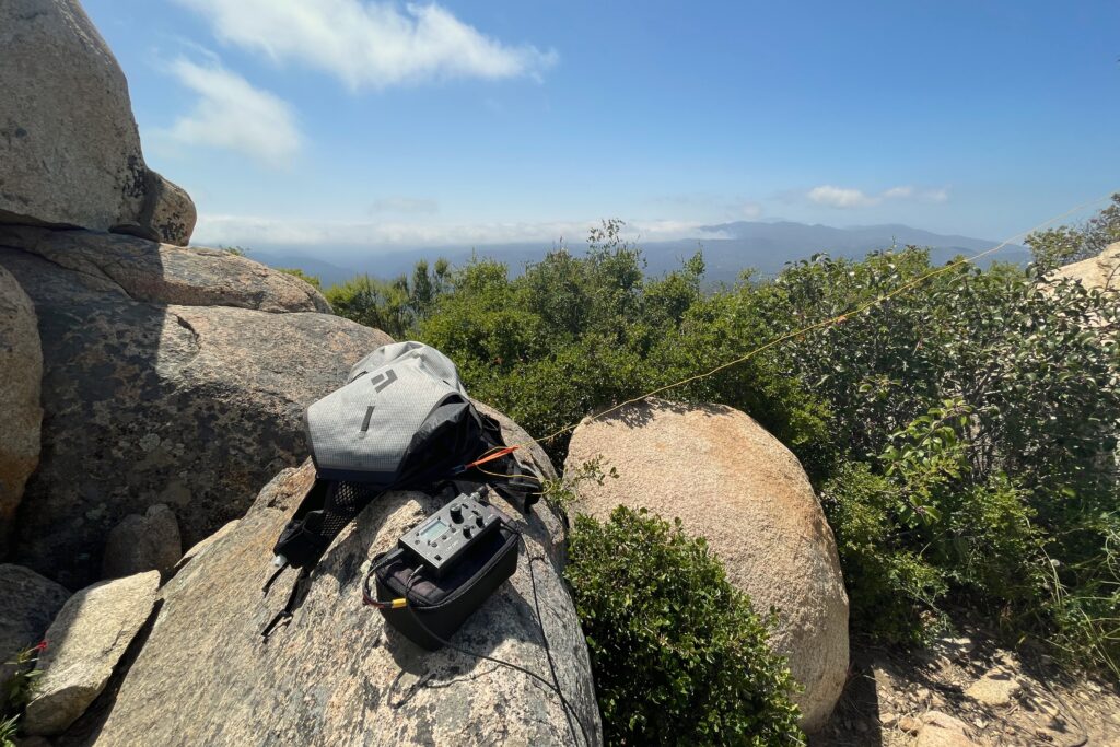
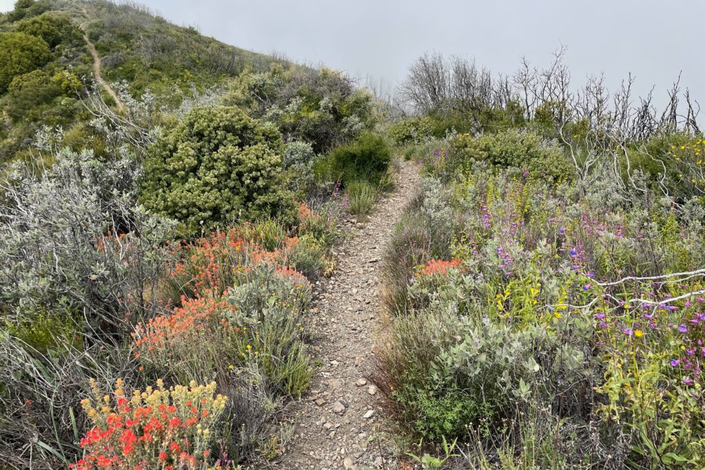
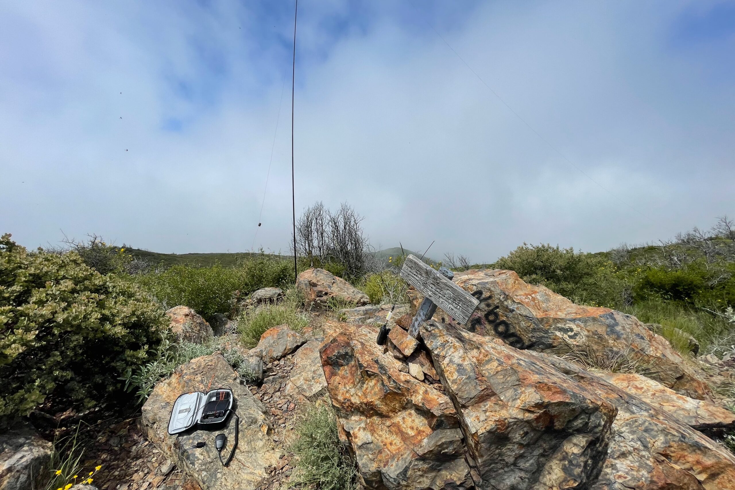
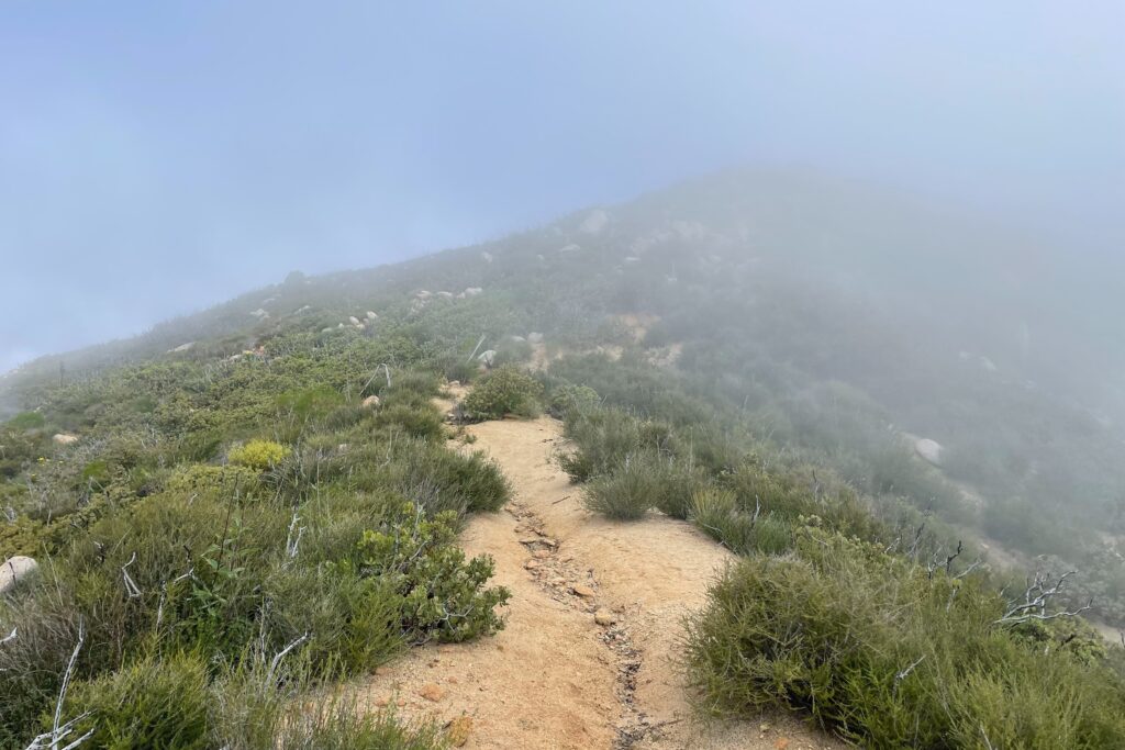
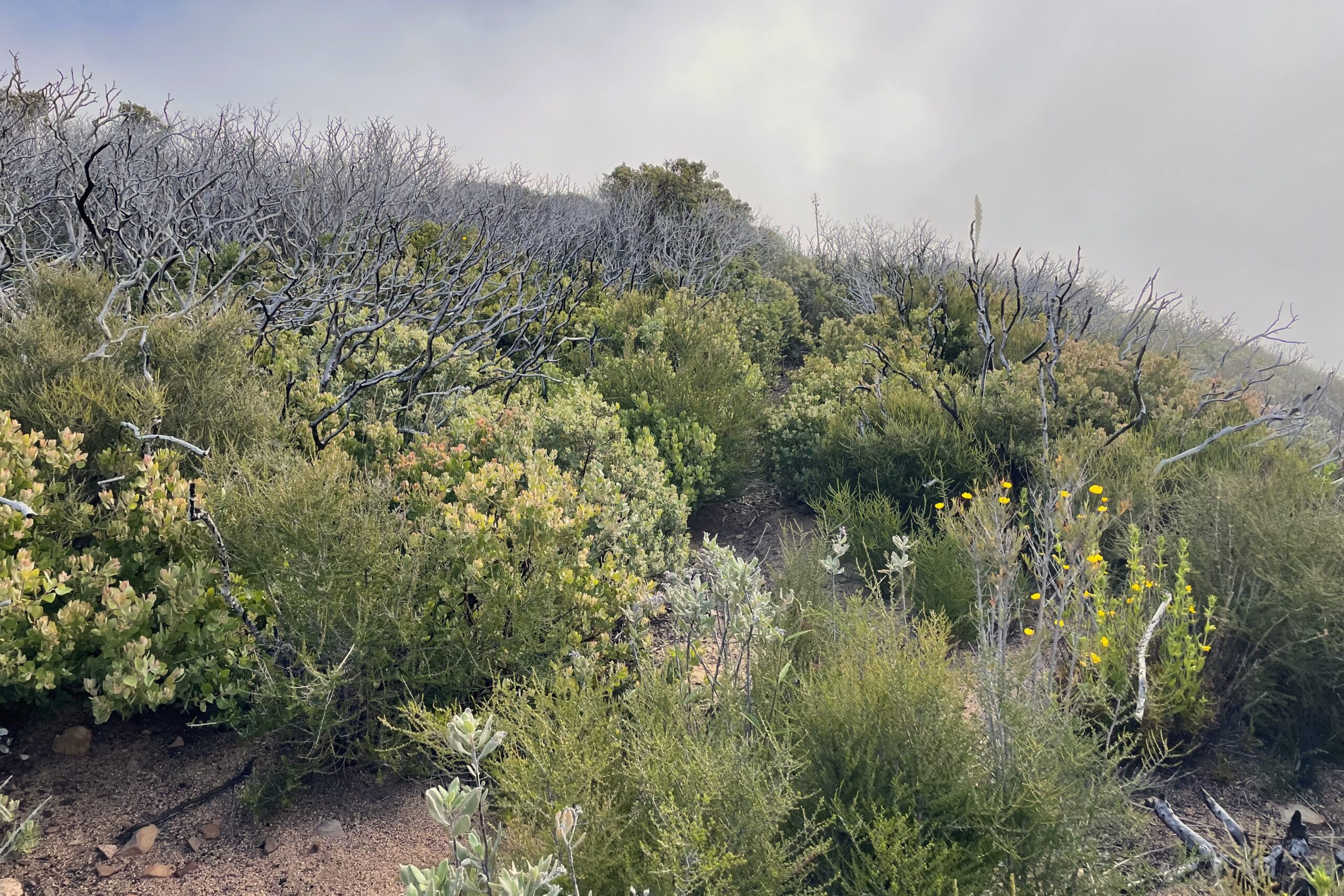
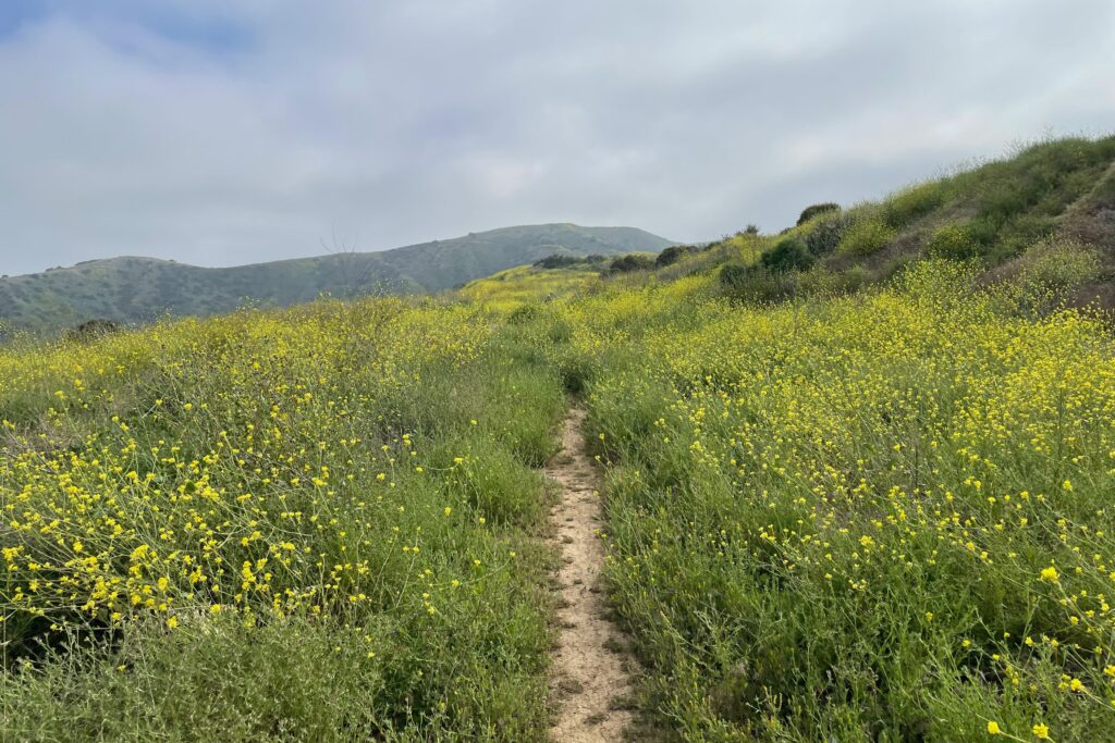
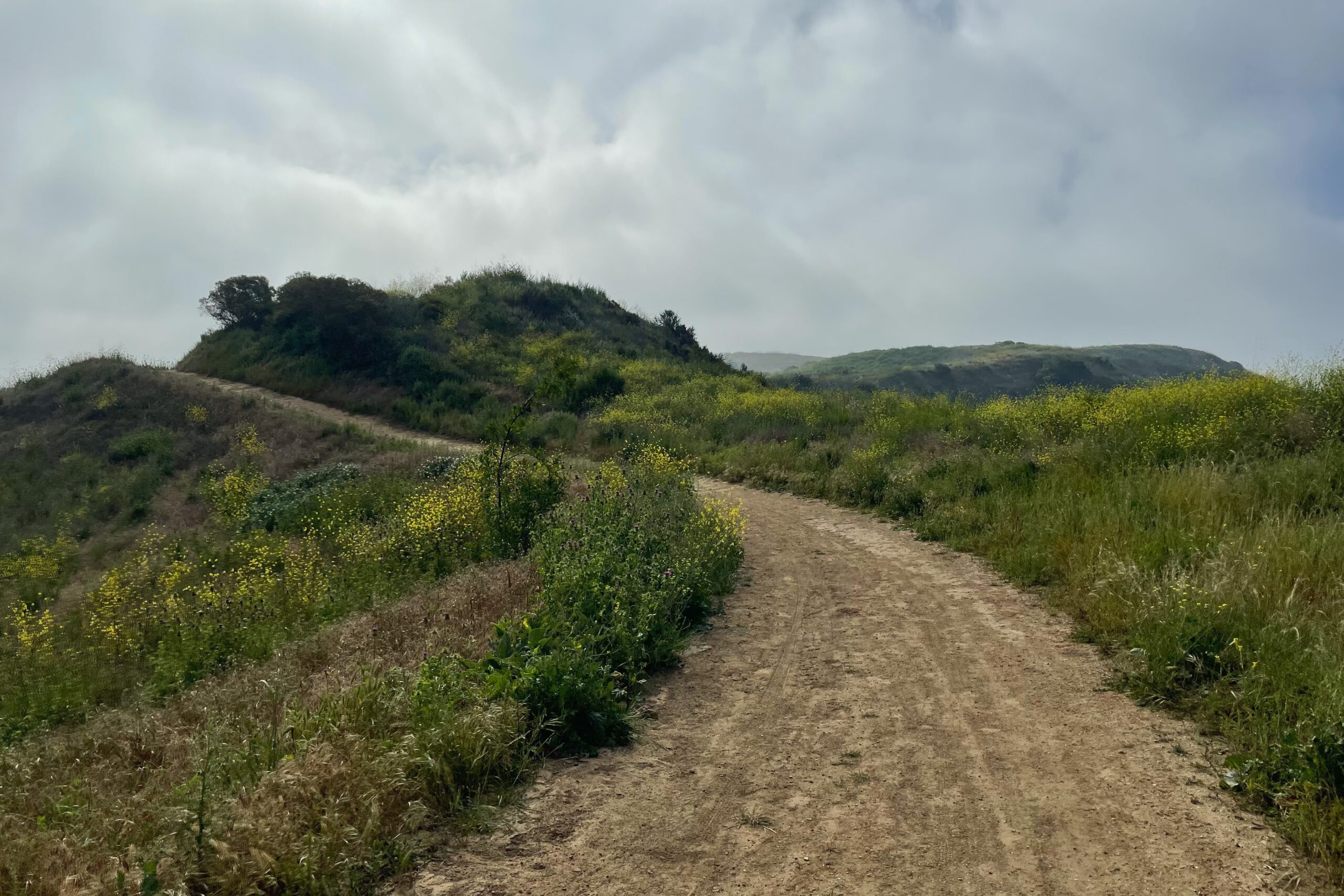
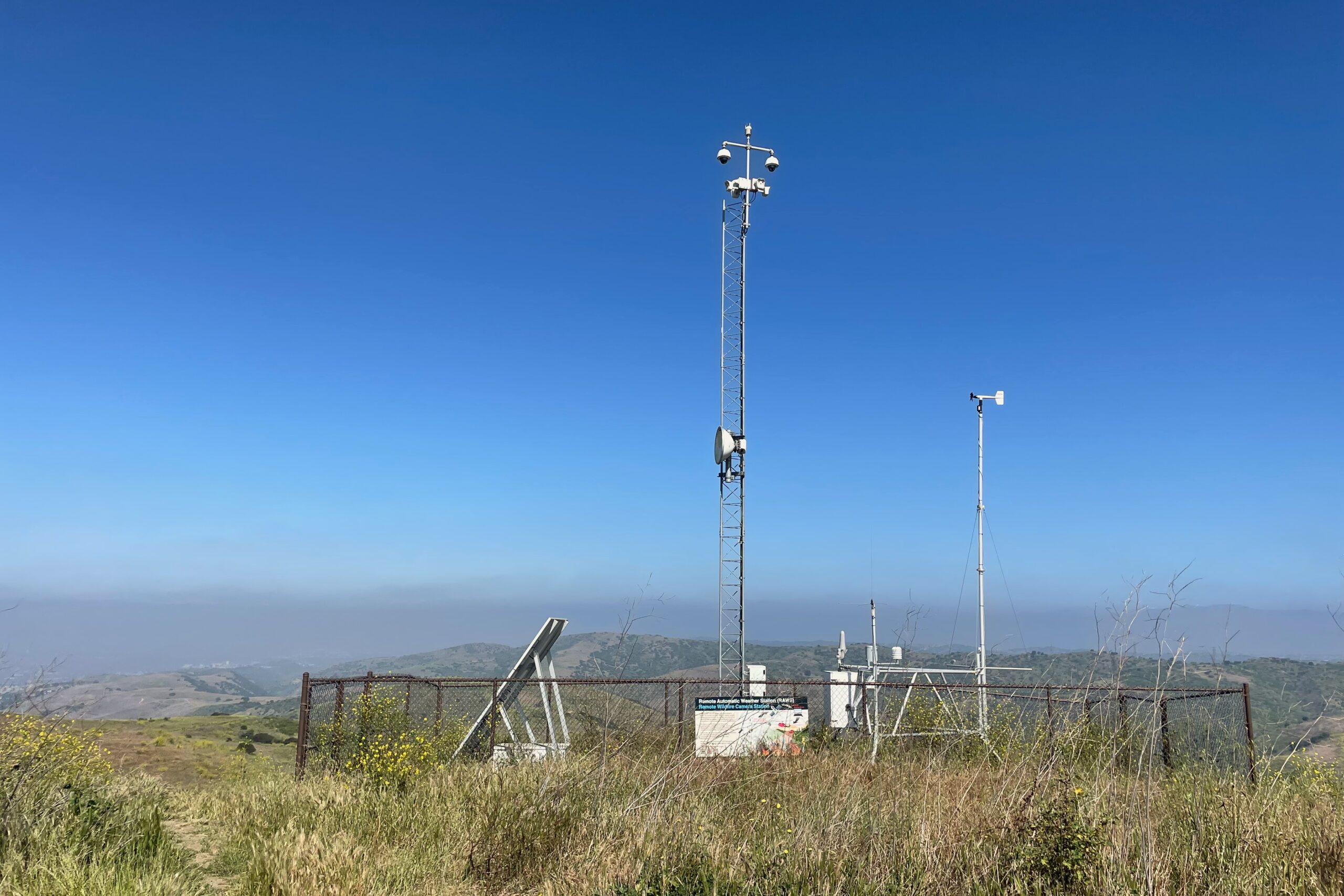
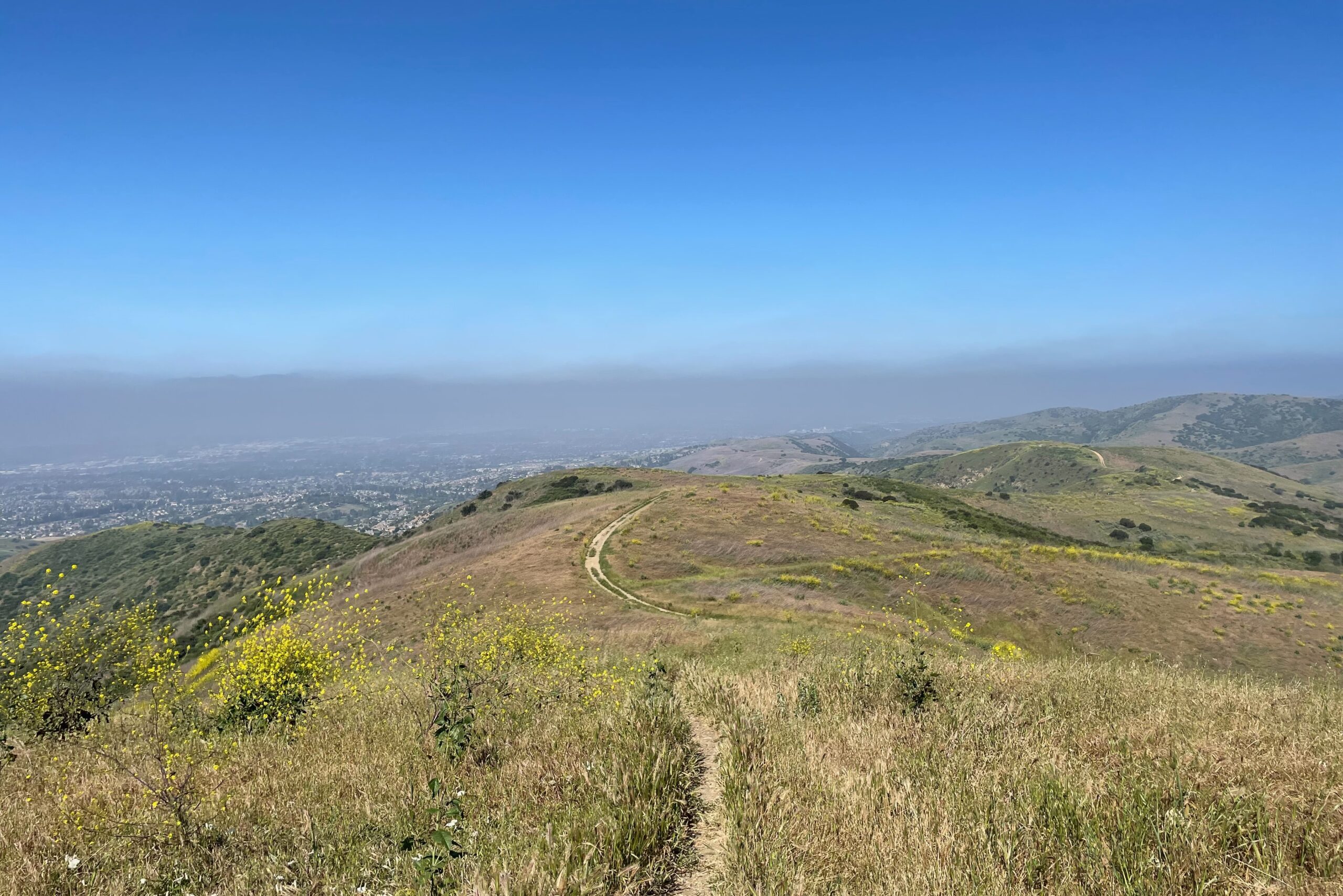
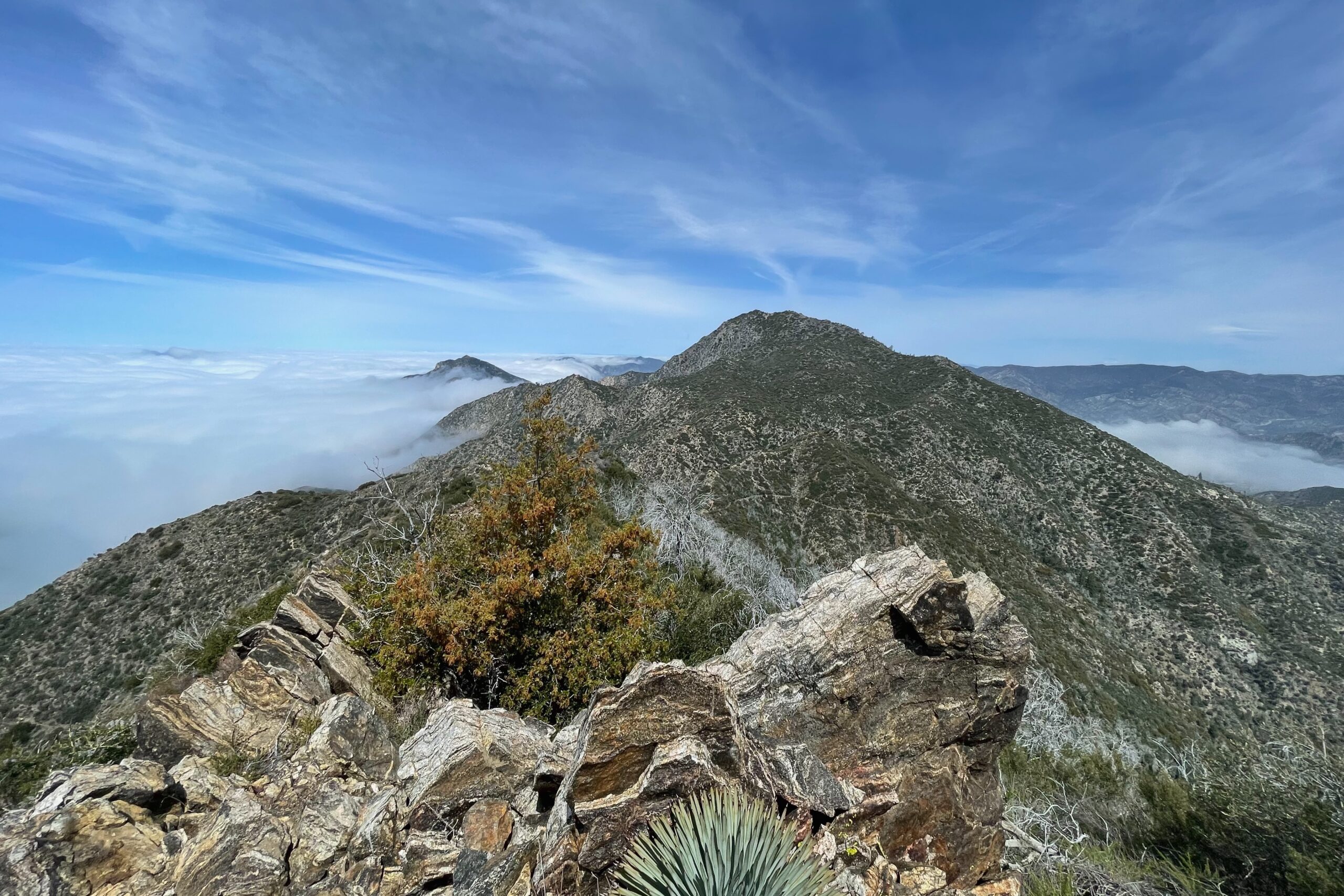
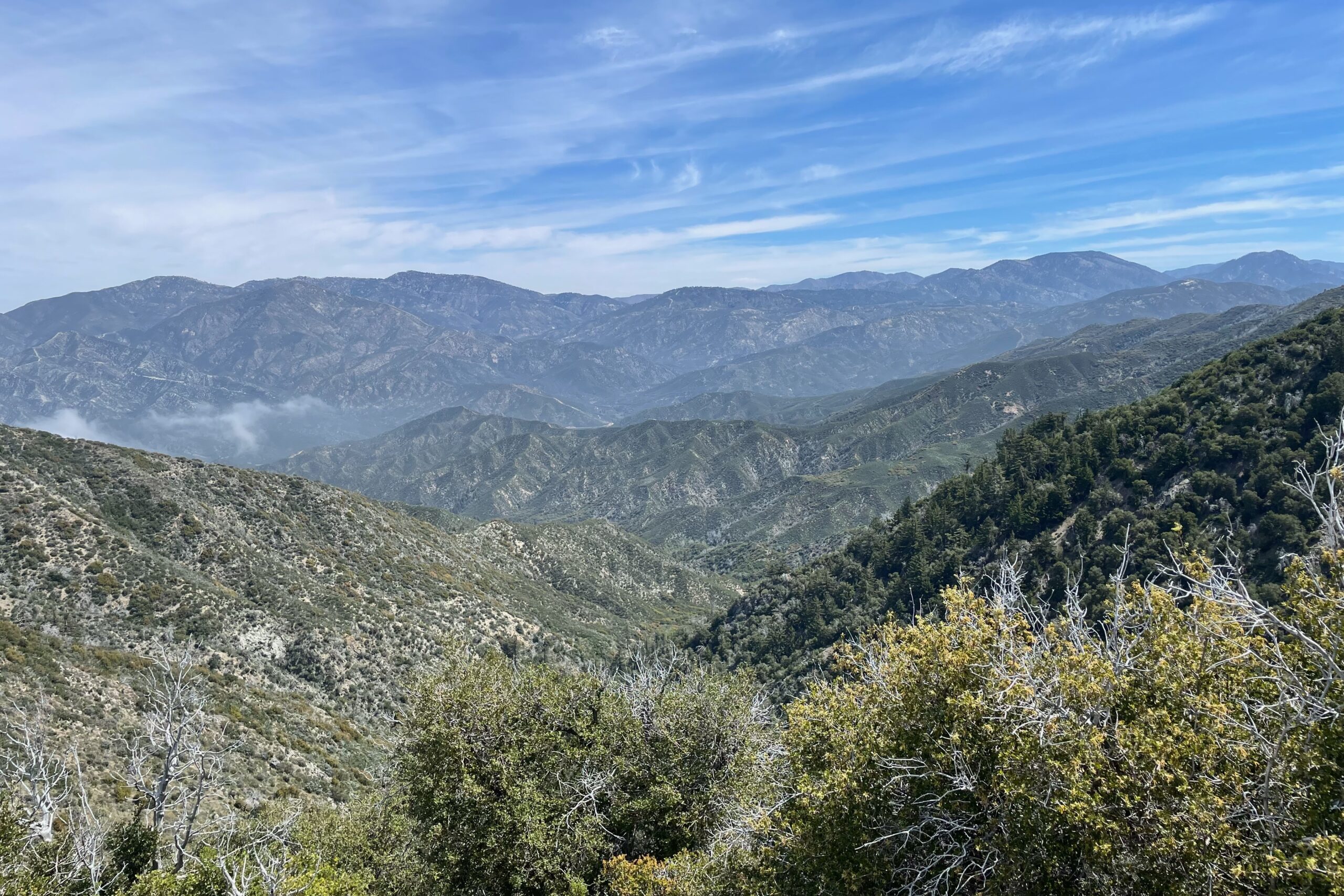
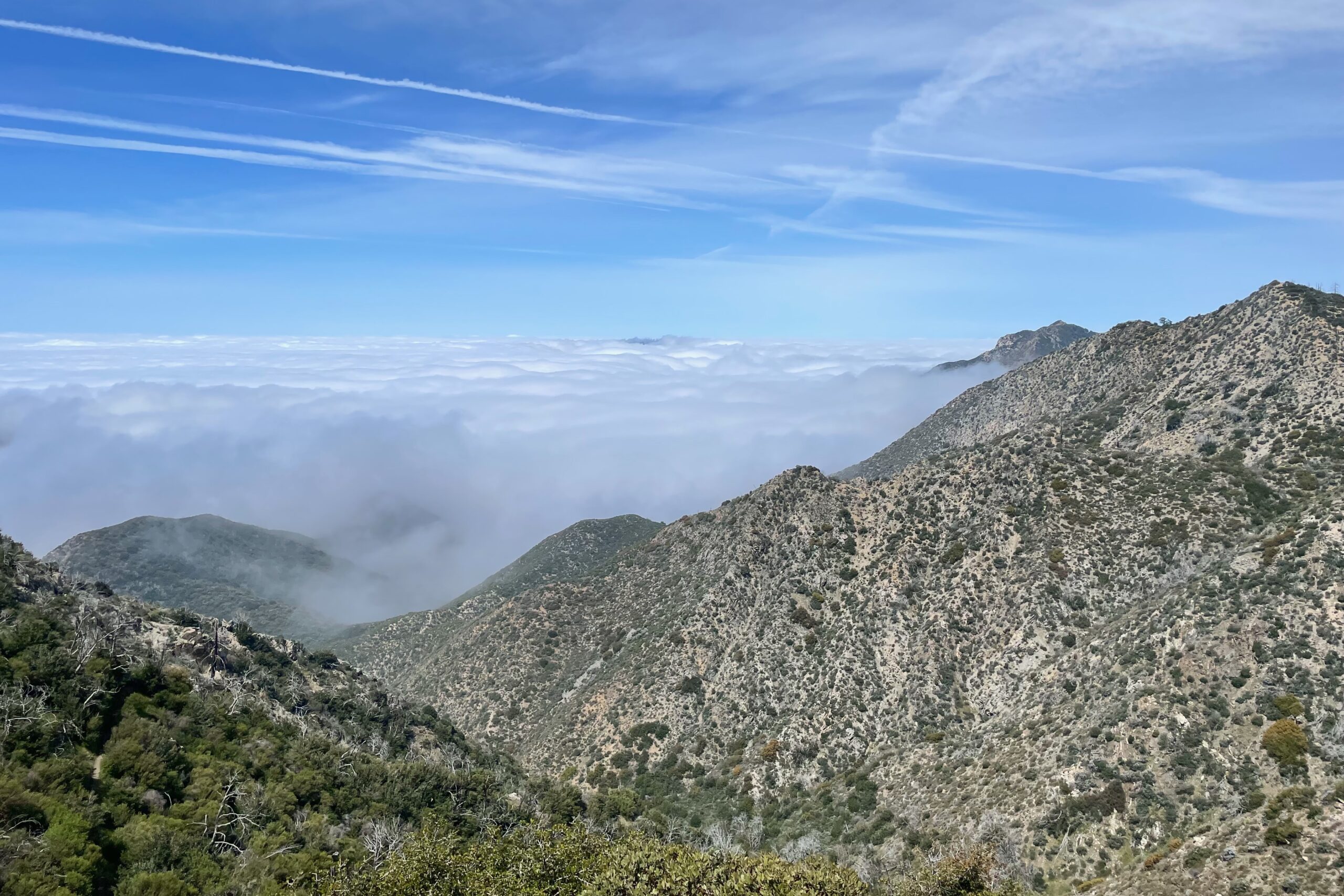
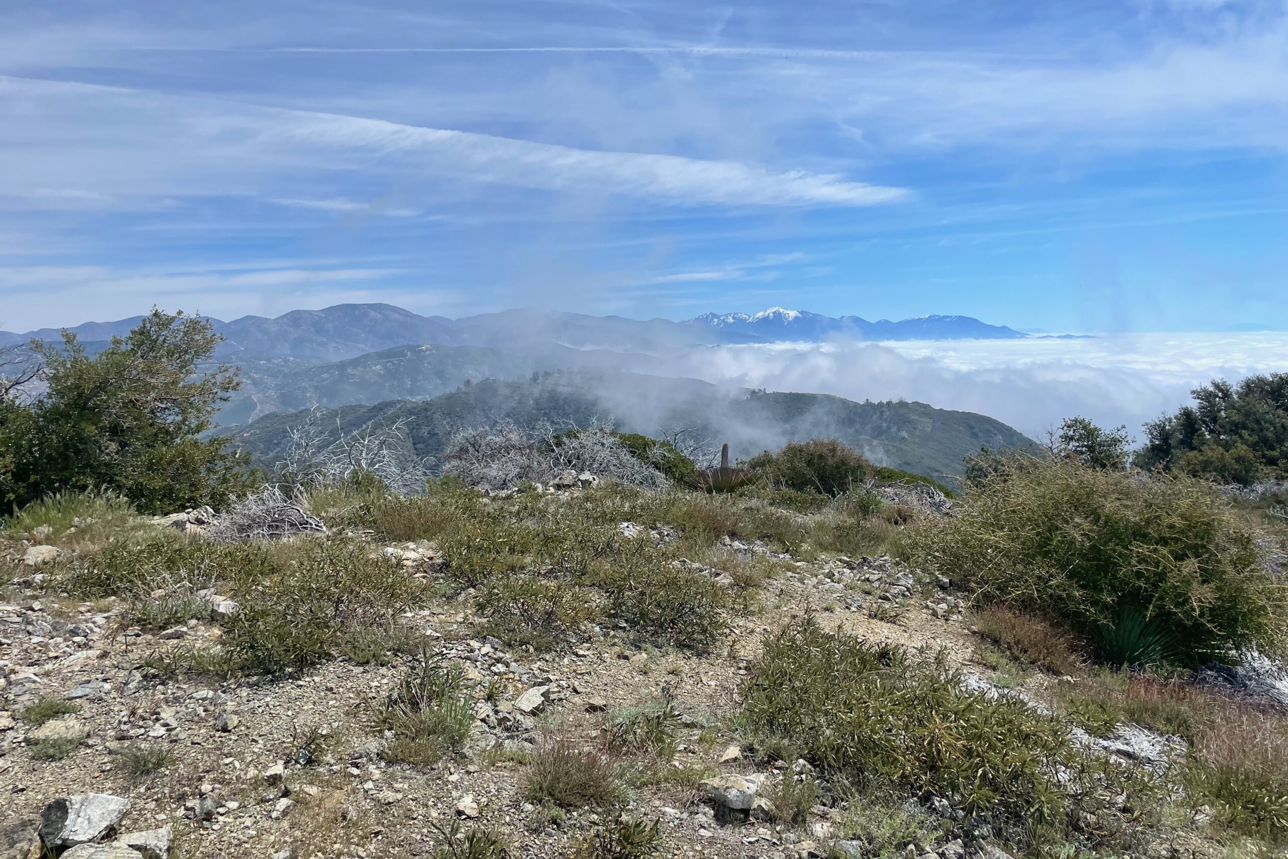
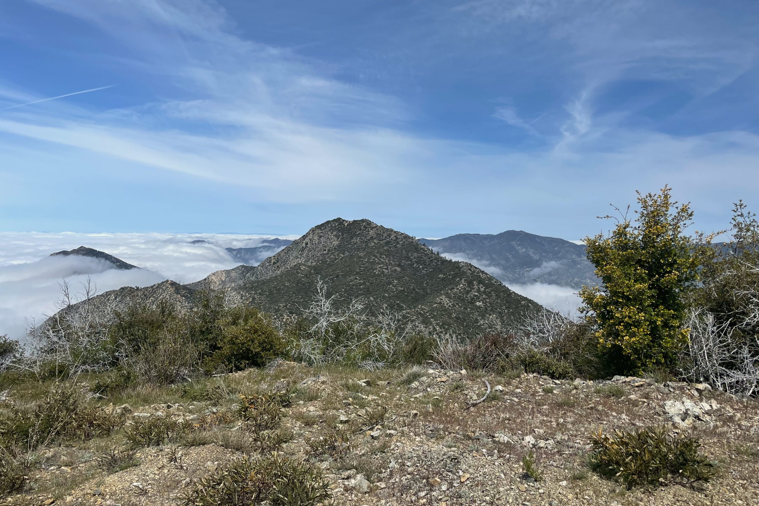
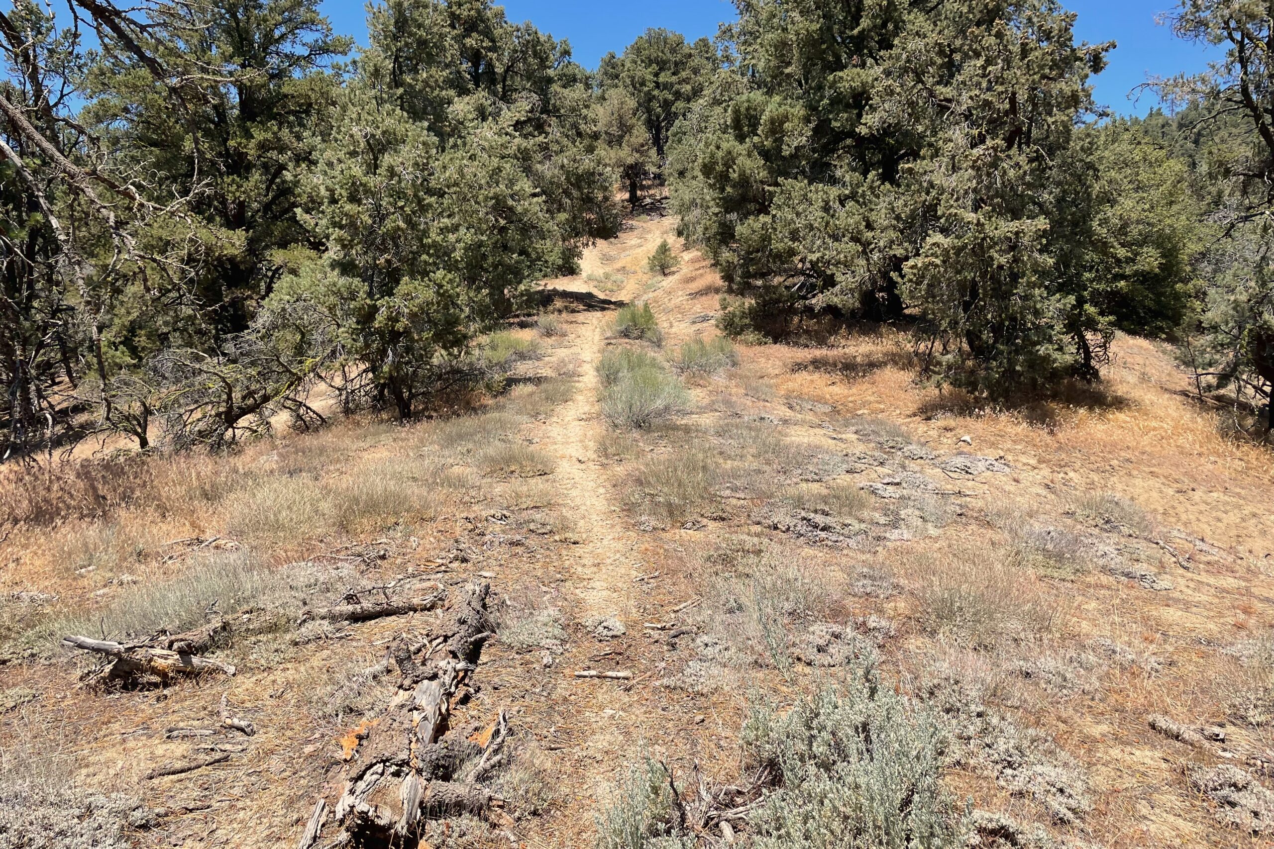
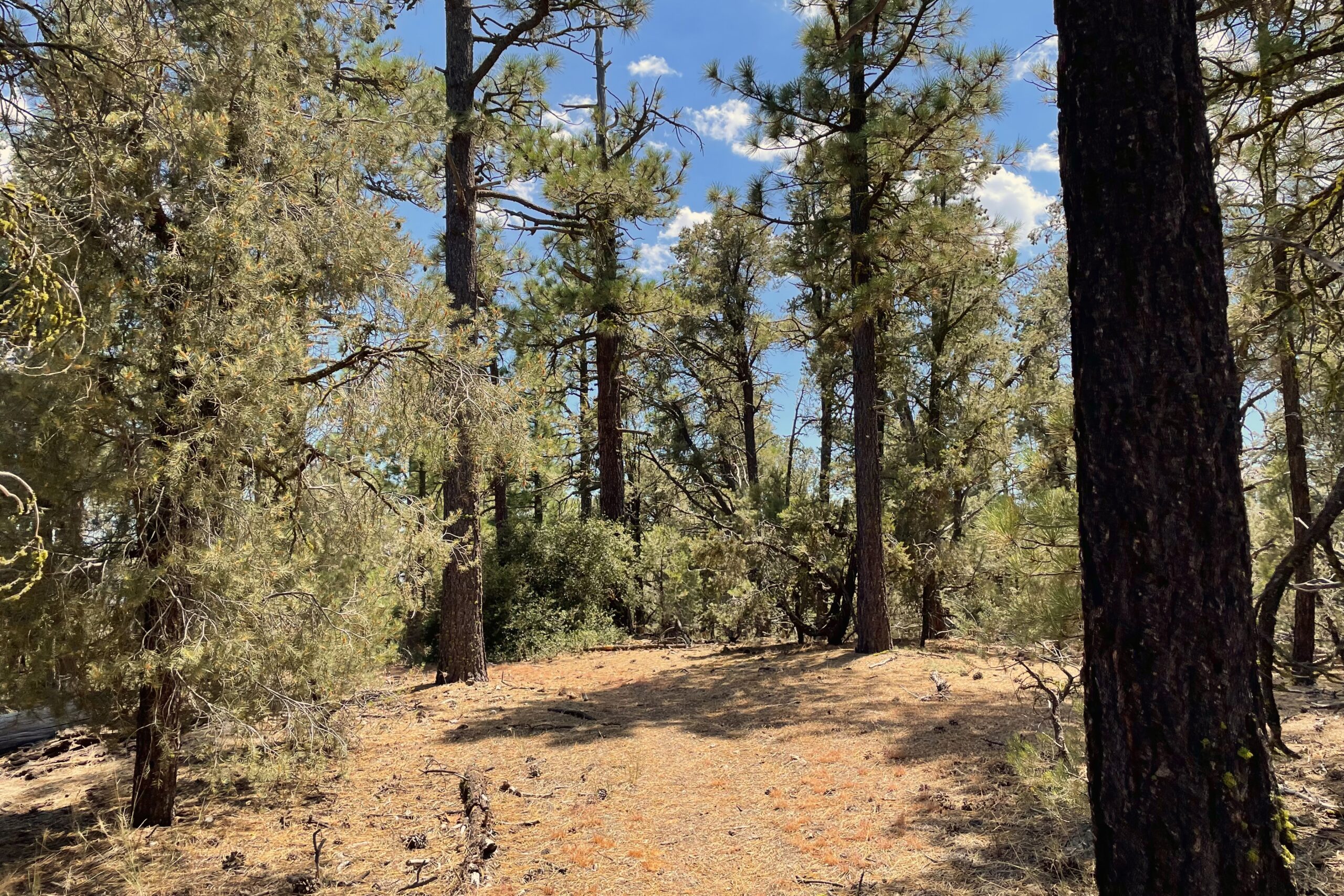
The trail starts out with a couple semi-steep sections, but mellows out soon enough. I really enjoyed this hike with plenty of shade the whole way up. I ran into Mark KD7DTS, Tim K6TW, Tom KE6SRO and Carol KE6SRN on my way up. At the top I setup for HF and had some good results on VHF as well. Wrapped it up and called it a day after making one last summit-to-summit contact with Ron K6CPR over on Frazier.
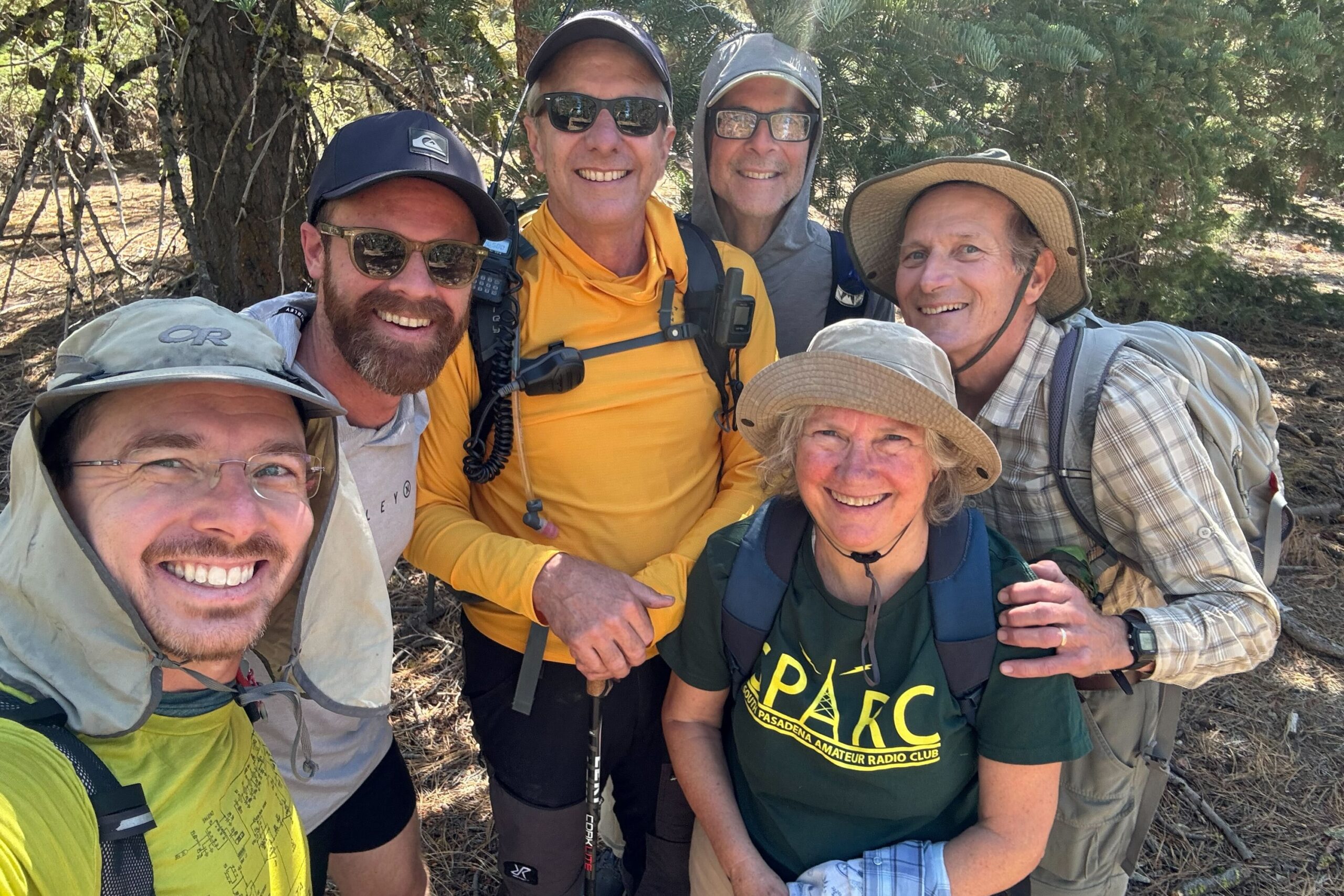
It was a great time getting to meet all the ops that attended the SoCal SOTAfest campout at Mount Pinos Campground.
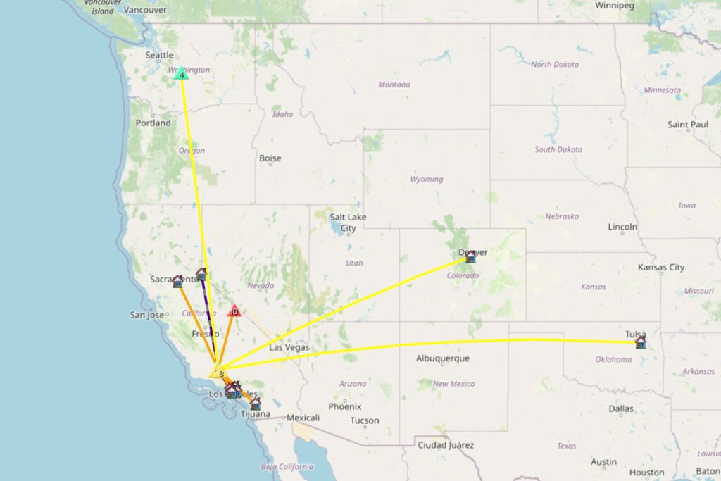
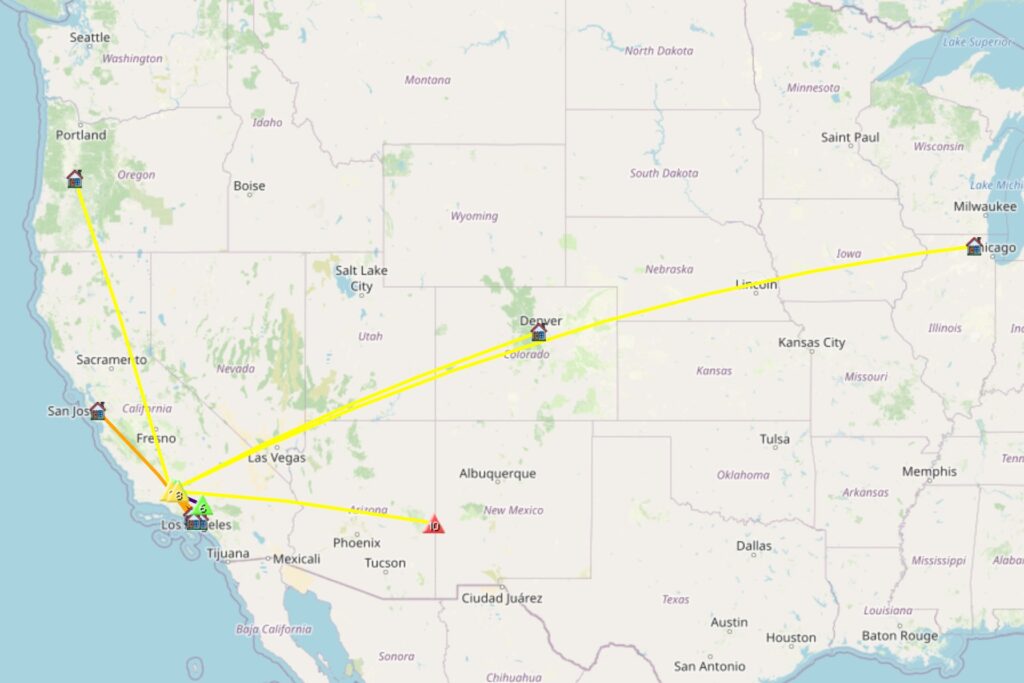
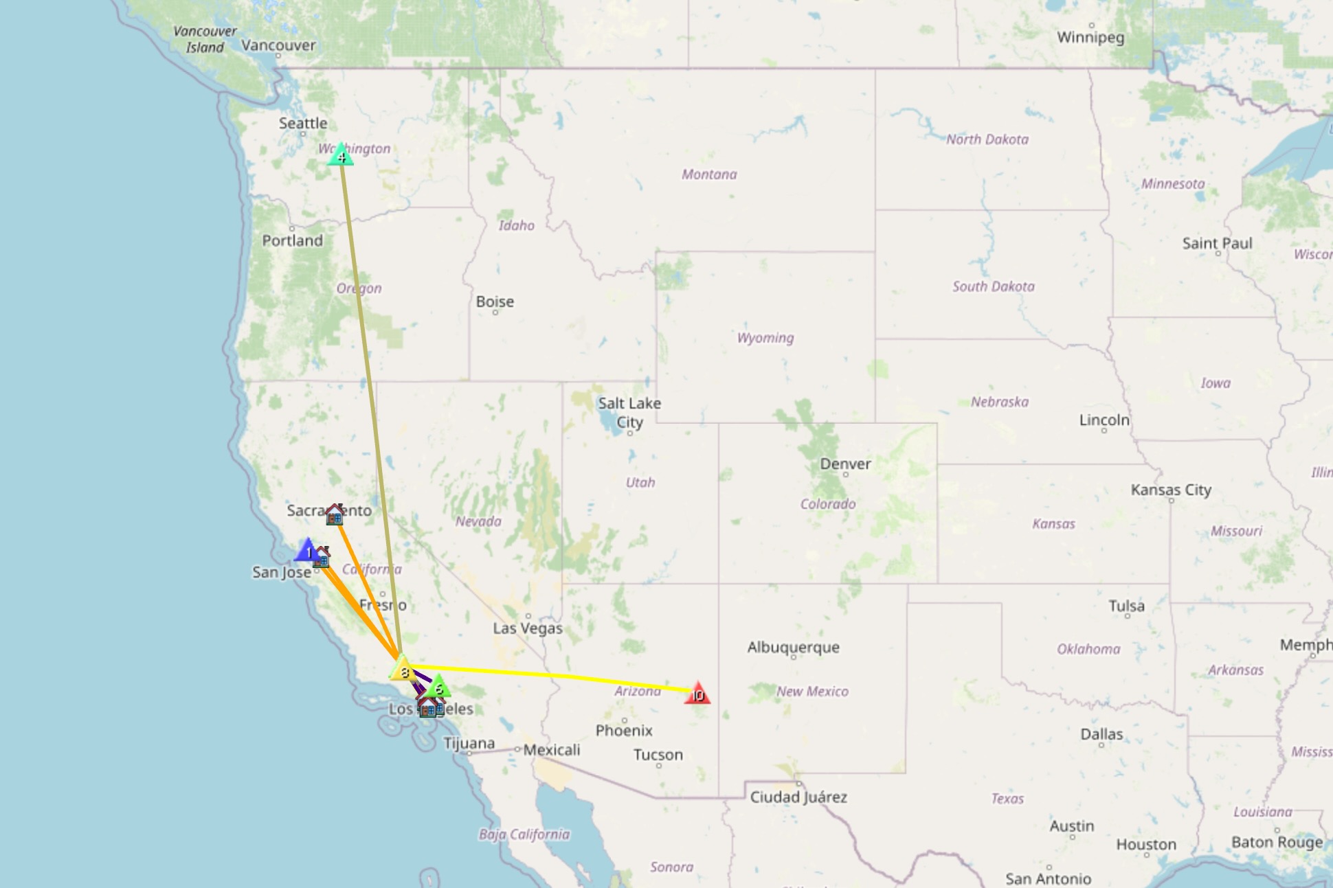
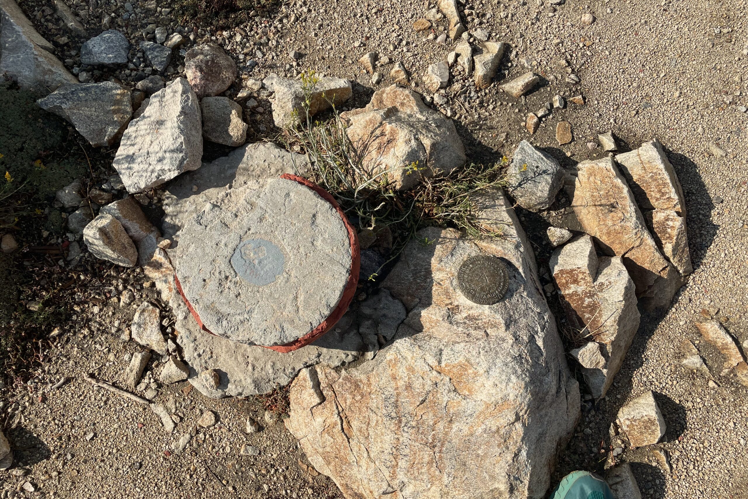
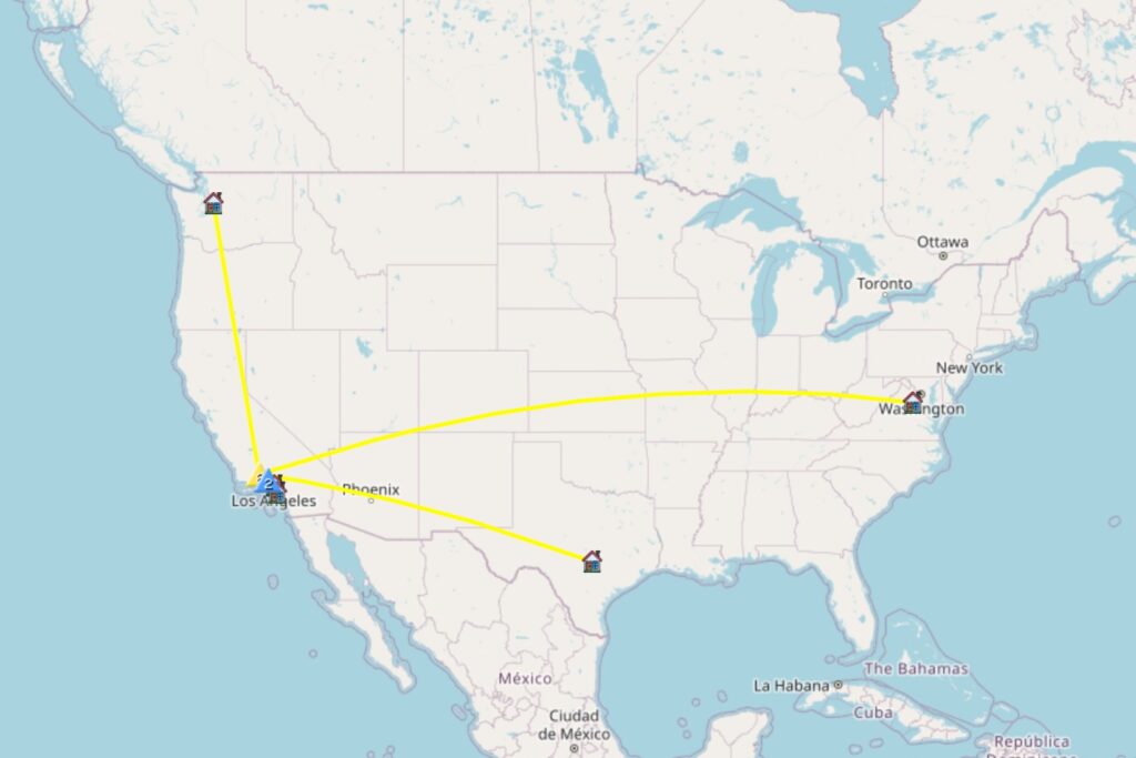
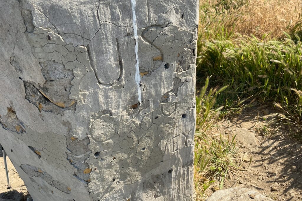
KN6RDC on W6/SC-005 (Escapula Peak), 03 Aug 2024
| Time | Callsign | Band | Mode | Notes |
|---|---|---|---|---|
| 20:19 | KD7DTS | 2m | FM | |
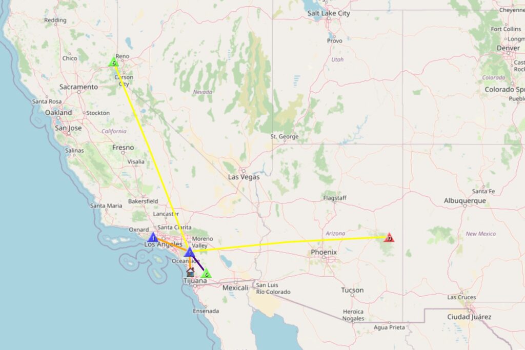
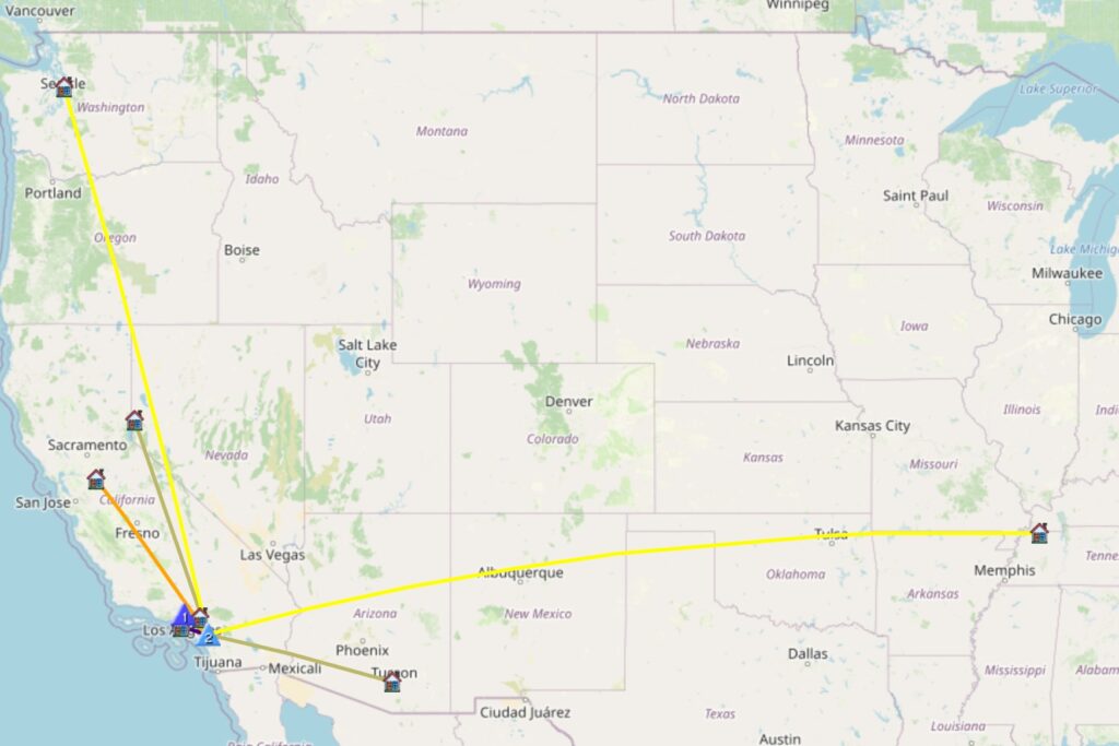
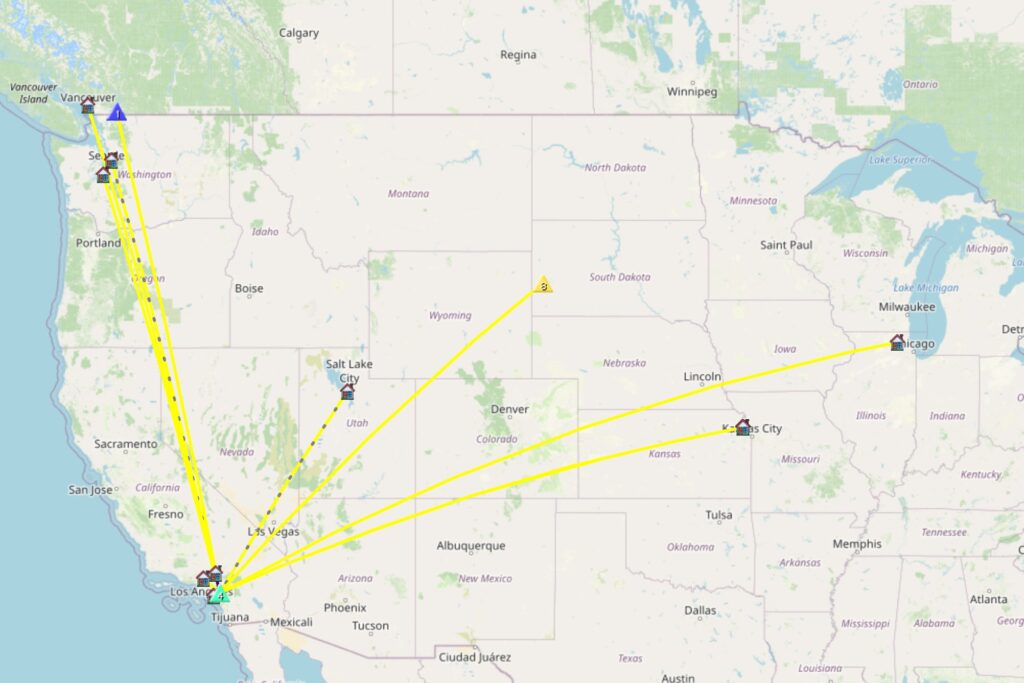
| 20:21 | KN6GOH | 2m | FM | S2S W6/SC-001 |
| 20:22 | KN6GOG | 2m | FM | S2S W6/SC-001 |
| 20:23 | KN6TPI | 2m | FM | S2S W6/SC-001 |
| 20:23 | N6JFD | 2m | FM | |
| 20:24 | K6TW | 2m | FM | |
| 20:24 | KE6SRN | 2m | FM | |
| 20:25 | KI6SLA | 2m | FM | |
| 20:30 | KN6EZE | 40m | CW | S2S W6/SC-001 |
| 20:39 | AA6XA | 40m | CW | S2S W6/WH-003 |
| 20:40 | W6DT | 40m | CW | |
| 20:41 | K6KMH | 40m | CW | |
| 20:42 | AC6M | 40m | CW | |
| 20:43 | NT6E | 40m | CW | |
| 20:44 | KN6DMO | 40m | CW | |
| 20:51 | WW7D | 20m | CW | S2S W7W/CW-083 |
| 20:52 | W0JSL | 20m | CW | |
| 20:54 | W5ODS | 20m | CW | |
| 21:02 | N6XZN | 2m | FM | S2S W6/SC-002 |
| 21:15 | K6CPR | 2m | FM | S2S W6/CC-003 |