Not sure if it’s just me or if everyone has one of those friends who talk about outdoor activities like each trip is going to be a walk in the park, but every one of their adventures ends up being a brutal gut punch of physical and mental overexertion. No? Just me?
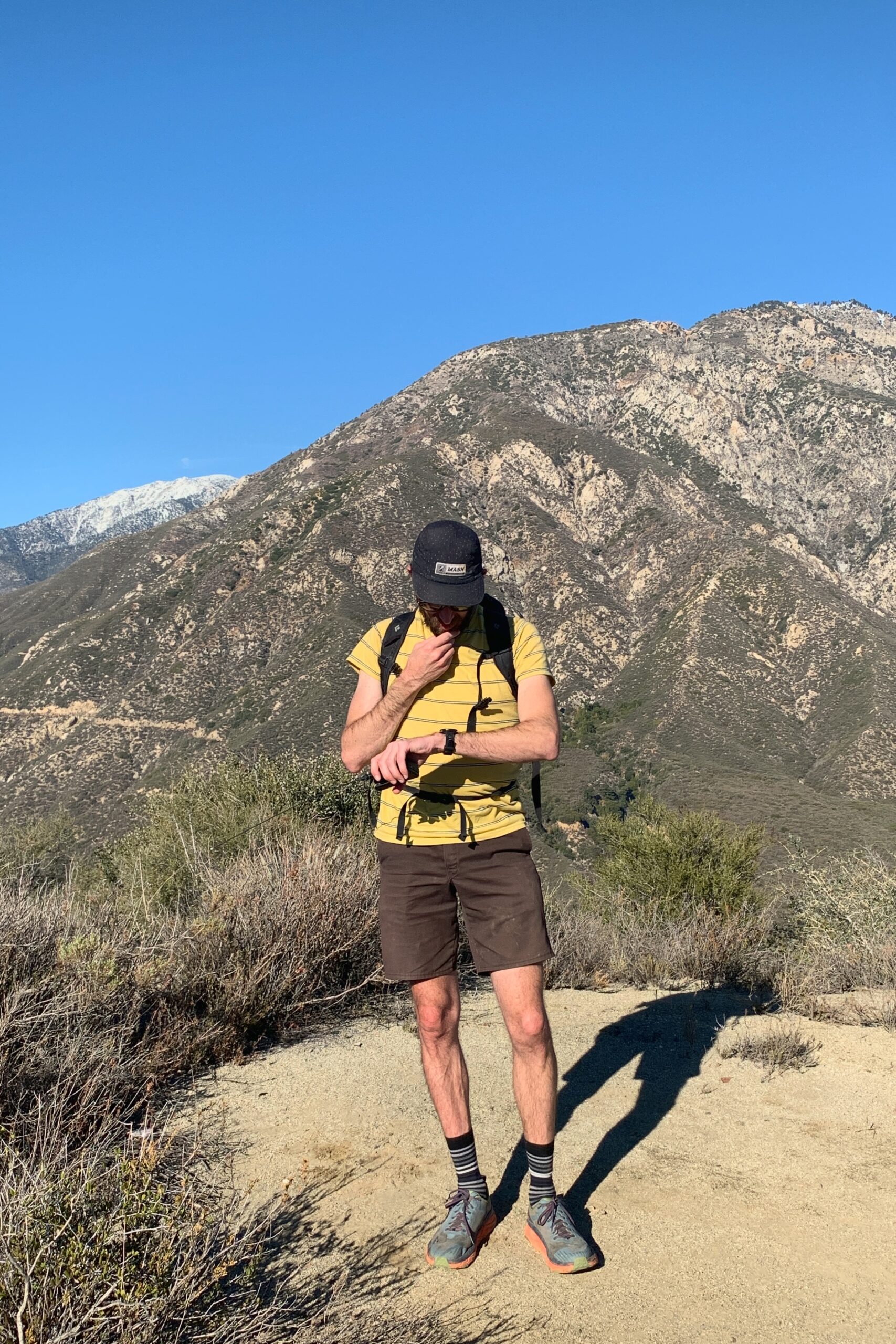
The first time Kevin KN6FNY and I went cycling together I arrived home, and after closing the front door behind me, proceeded to fall face down in the middle of my living room. I didn’t move until my wife had found me sometime later that day. My whole body ached for days. But I found I enjoyed it. I liked pushing my body past where I would normally stop. We kept riding together and although I don’t think I’ll ever match Kevin’s fitness level, his mini-adventures are always worth it and I now know what I’m in for when he says something like, “it’ll be mellow” or “I don’t remember it being that difficult”. It’s always hard, and it’s always rewarding.
Kevin had been activating SOTA peaks for a while before I even got my license. He had invited me out to bag these two peaks one day and I knew what I signed up for.
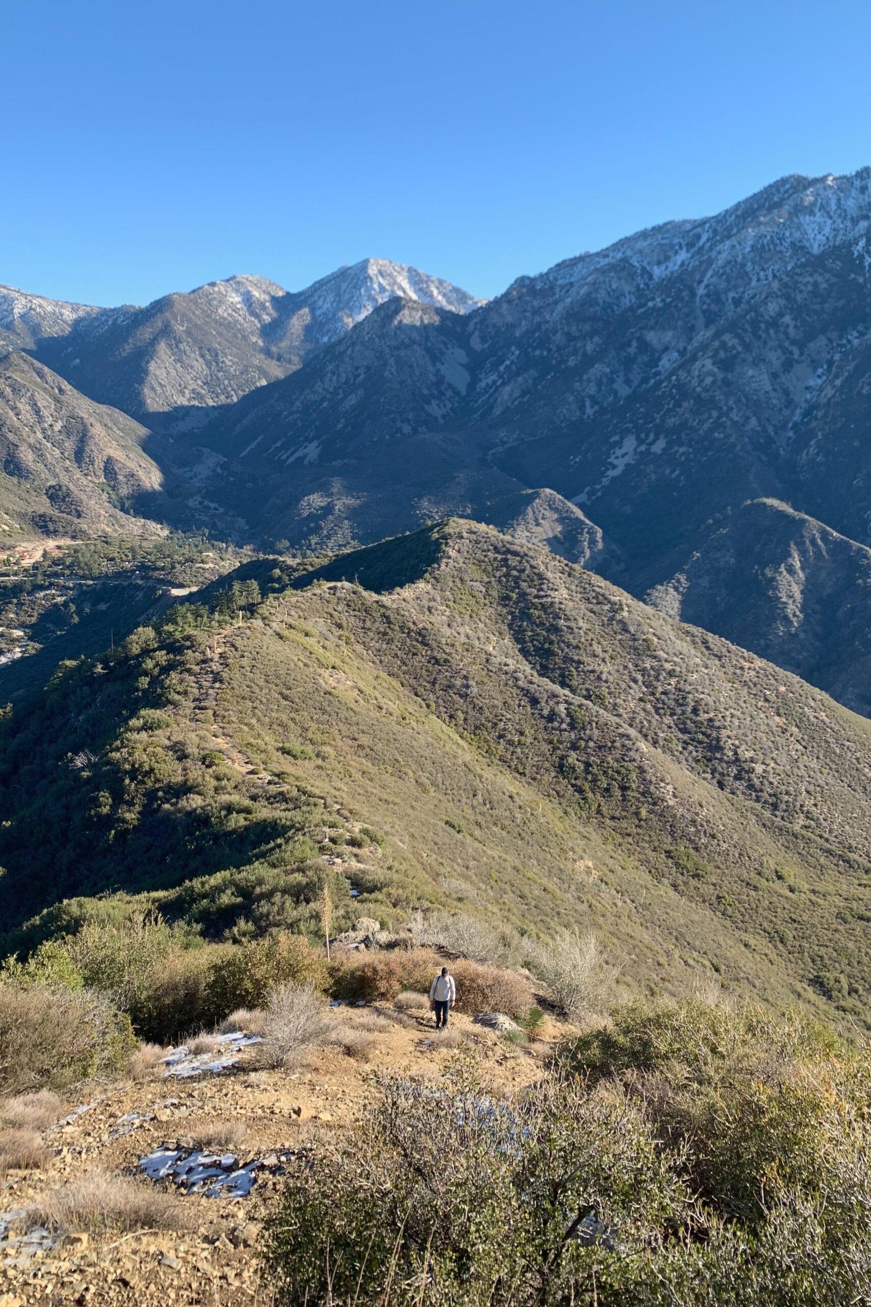
The road up to the trailhead for Sunset Peak was closed so we parked on the corner of Glendora Ridge Rd and Mount Baldy Rd. There are a few spots along the street just outside the gate and we were early enough to grab one before it filled up. We walked up the road about a mile past the gate, just shy of the trailhead. We took the firebreak along the ridge instead of the longer trail. Some sections were steep, but overall, I preferred it to the alternate route since we were planning on multiple summits that day. There were still a few patches of ice along the ridge, but nothing requiring anything more than careful foot placement.
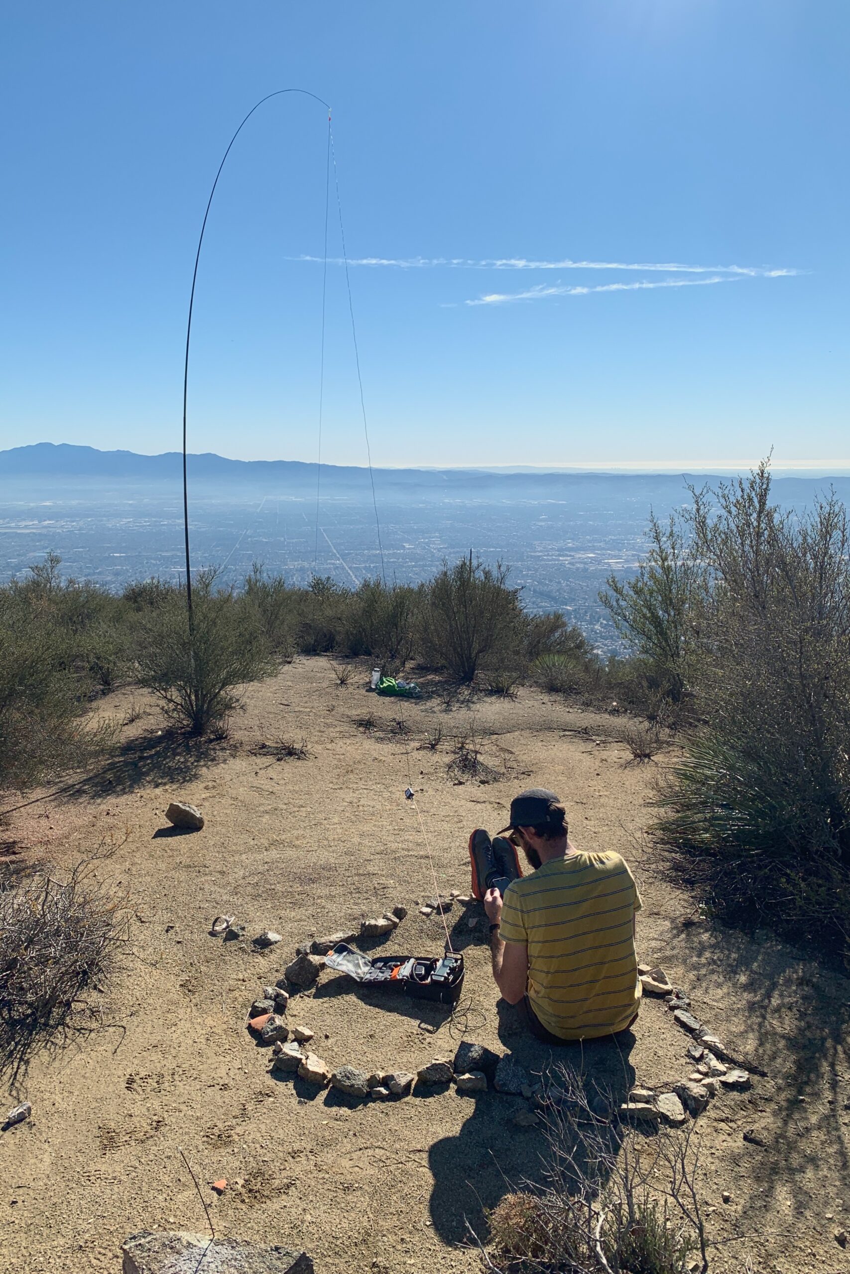
The summit was large with plenty of space to spread out for a joint activation. Kevin KN6FNY set up for SSB while I made a few contacts on VHF.
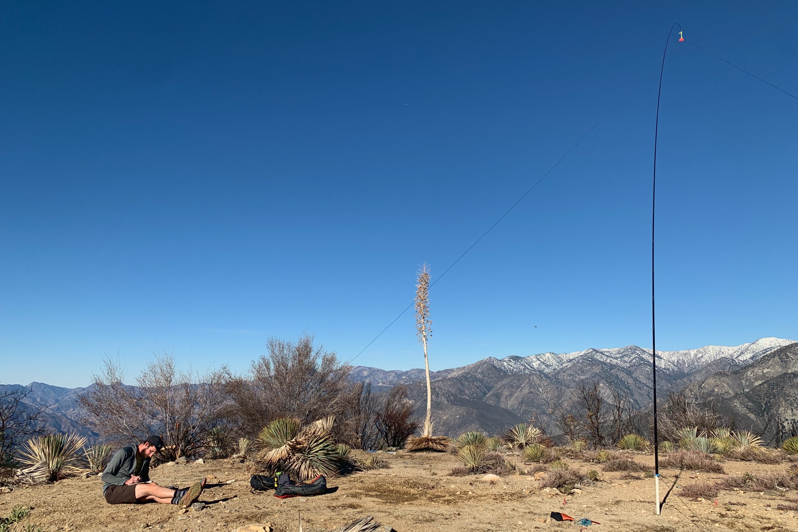
Website: https://www.sotadata.org.uk/en/summit/W6/CT-022
Map: https://caltopo.com/m/L232G
Trailhead: Park at Glendora Ridge Rd and Mount Baldy Rd
Route: Follow the road up, veering left to take the fire break up to the summit. 2.3mi with 1700′ of gain to get there.
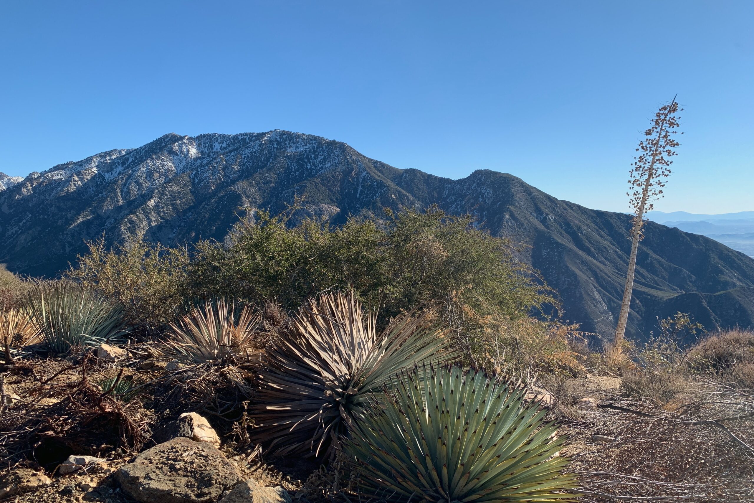
KN6RDC on W6/CT-022 (Sunset Peak), 18 Dec 2021
