Field Notes. W6/CT-071

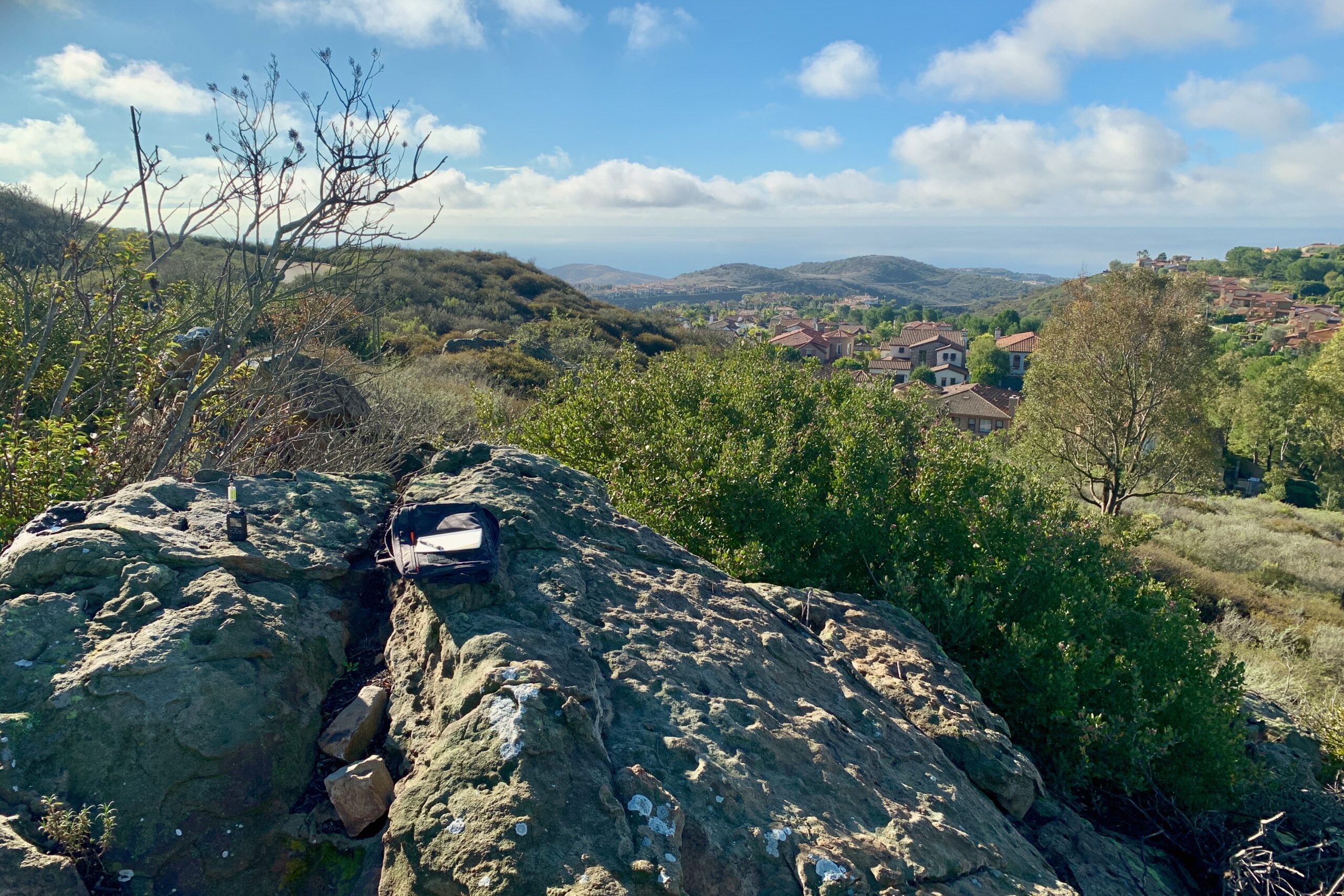
I took my son (age 7) with me on this activation. I had done a bit of research ahead of time to make sure the roads were clear as my Prius can only get me so far in the mountains. We parked on the side of the road and started picking our way up the trail to Circle Mountain.

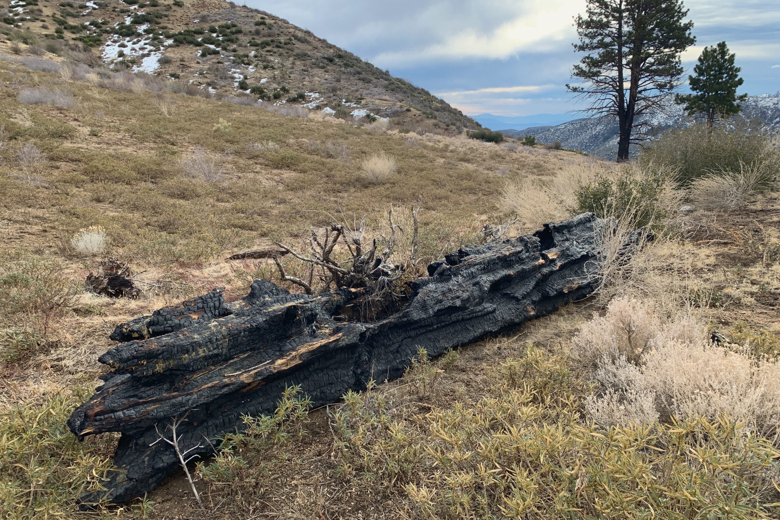
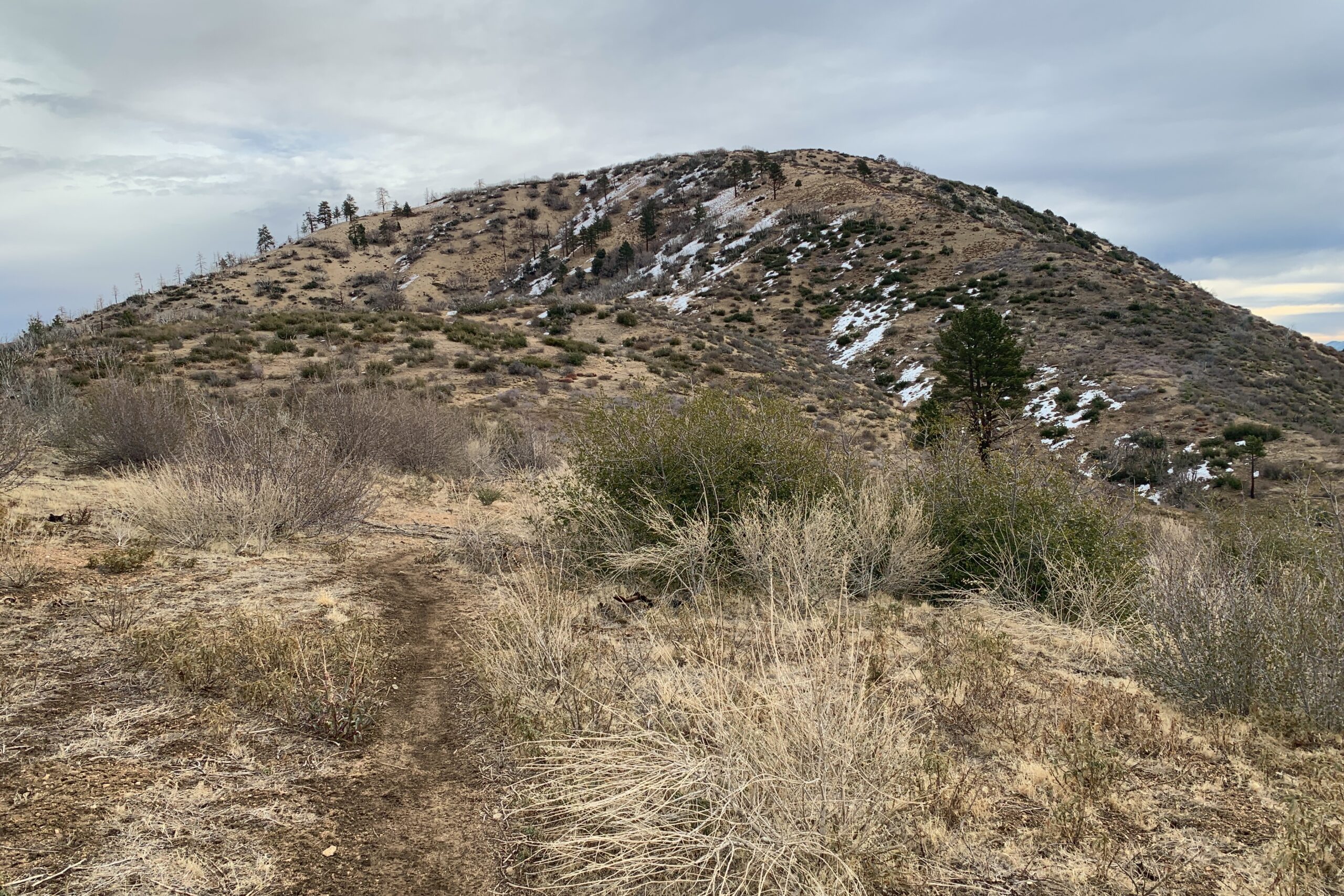
The trail is easy to follow and we made short work of it.

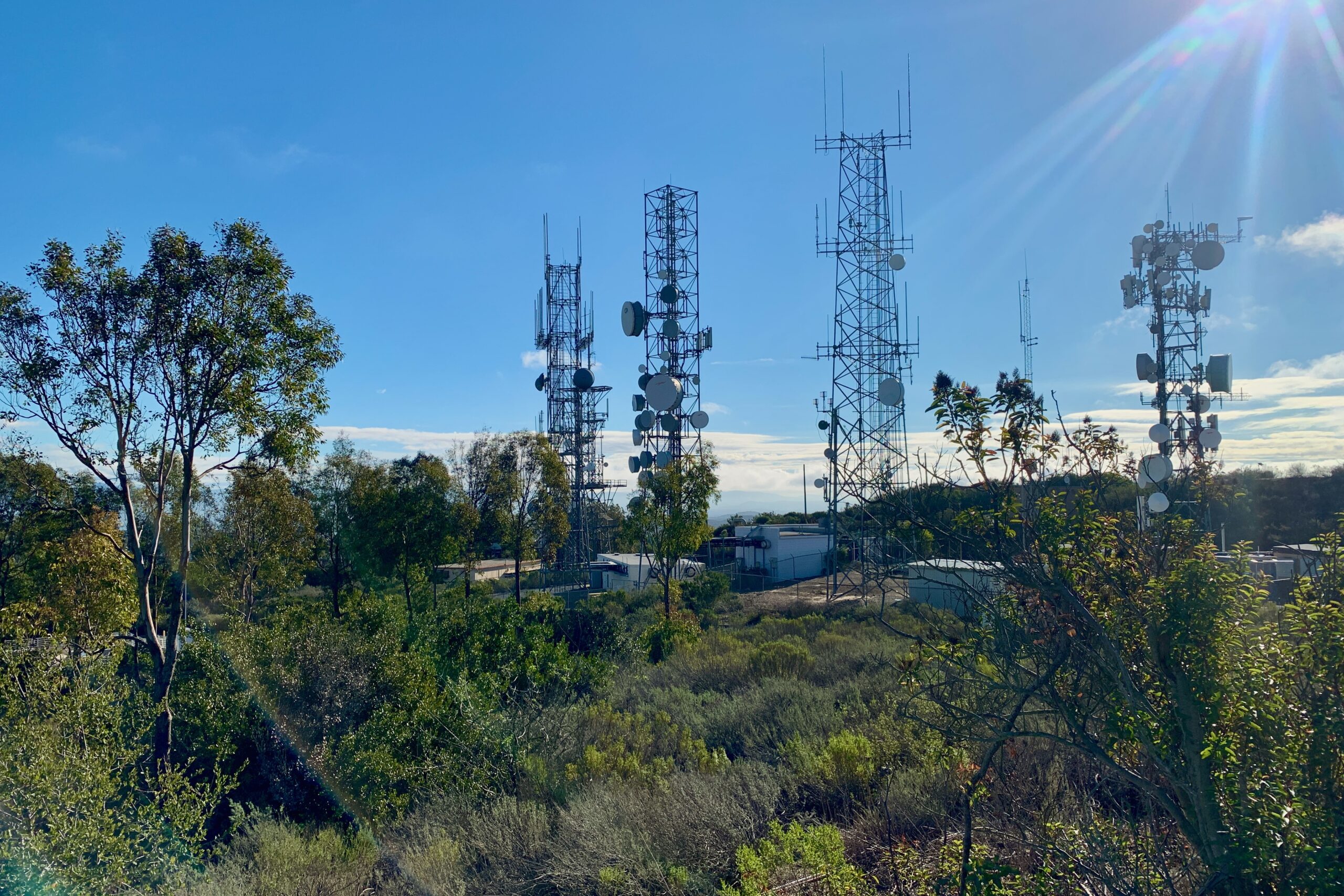
It was Winter SOTAfest so there were plenty of other people doing SOTA during this activation. I didn’t catch many of them with the limited time I had, but I still had a good time and fun with my son getting out in the mountains.

I used a Yaesu FT5DR and an N9TAX 2M/70CM Slim Jim Antenna for this activation. My last contact of the day was Neil K6KWI on W6/SC-371, about 60 miles away. That may be my furthest 2M contact yet.


Website: https://www.sotadata.org.uk/en/summit/W6/CT-071

Map: https://caltopo.com/m/L232G

Trailhead: Parking available along Lone Pine Canyon.

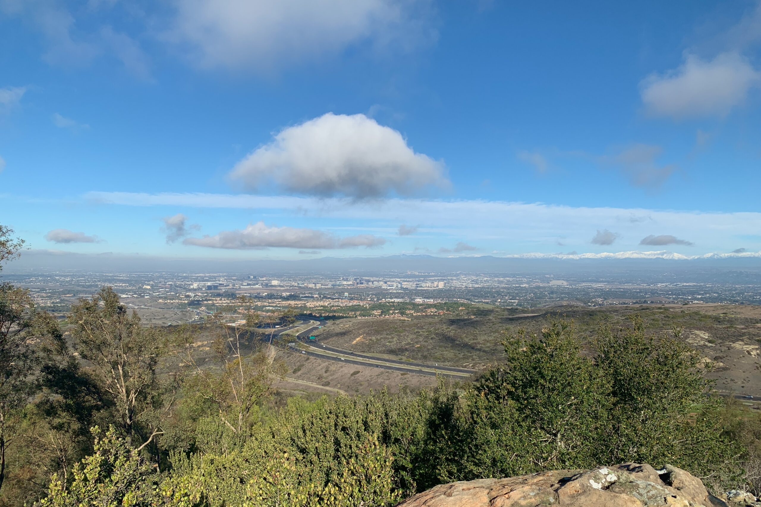
Route: Well-marked trail up to the summit. 1.15mi to the top with about 900′ of gain.


KN6RDC on W6/CT-071 (Circle Mountain), 15 Jan 2022

TimeCallsignBandModeNotes
17:55KN6CQX2mFM
18:00KB9ENS2mFM
18:02N6HPO2mFM
18:08K6LDQ2mFM
18:10KN6DMO2mFM
18:12AJ6O2mFM
18:15K6STR2mFMS2S W6/SD-018
18:16W6LOR2mFMS2S W6/SD-018
18:18N6AN2mFMS2S W6/SD-049
18:26K6KWI2mFMS2S W6/SC-371

Field Notes. W6/SC-362

Winter in California doesn’t feel the same as in other parts of North America. With it’s unique desert climate, getting out for a SOTA activation on New Year’s Eve may require nothing more than any other time of year. In this particular instance, I threw on a sweater, which for any outsider wouldn’t have seemed necessary in the slightest.

Signal Peak is located in Newport Beach, only a few minutes from Pacific Coast Highway. It’s mostly a residential area and the peak sits in the middle of some beautiful homes that overlook the Newport and Laguna coastline. Street parking is available all along Ridge Park Rd. It’s about a five-minute walk up a paved service road to the summit and you’re in the activation zone almost all the way up. As you pass the towers on your left, there is a rocky outcropping to the right. I sat on the largest of the rocks to try and get some height, although, without a bandpass filter, you may as well just not try VHF.


Website: https://www.sotadata.org.uk/en/summit/W6/SC-362

Map: https://caltopo.com/m/L232G

Trailhead: Parking is available all along Ridge Park Rd.

Route: Once you find the service road, follow it up to the summit. ~.3mi to the top.


KN6RDC on W6/SC-362 (Signal Peak), 31 Dec 2021

TimeCallsignBandModeNotes
17:15KN6FNY2mFM
17:16KI6SLA2mFM
17:17K6LDQ2mFM
17:19K6QCB2mFM
17:26N6UTC2mFM
17:30KE6ZGR2mFM
17:35N6JZT2mFM