I arrived at Whitney Portal and was greeted with rain and an epic lightning display off to the east. Sleeping in the back of the car that night, I got an early start the following morning and started to pick my way up to trail camp.
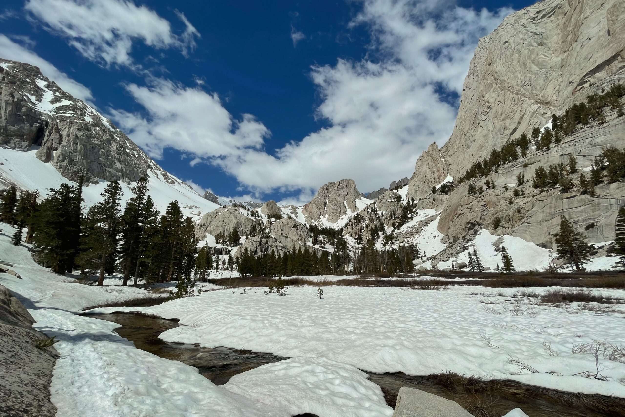
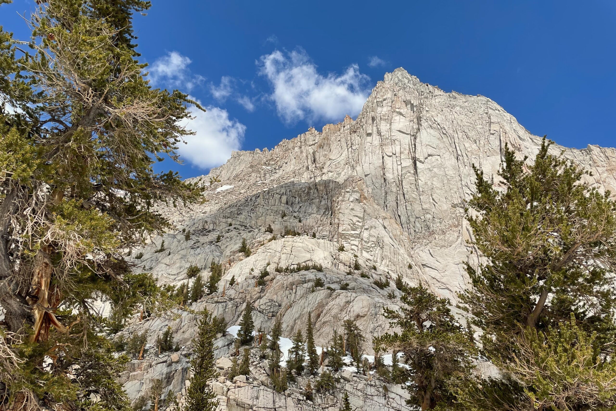
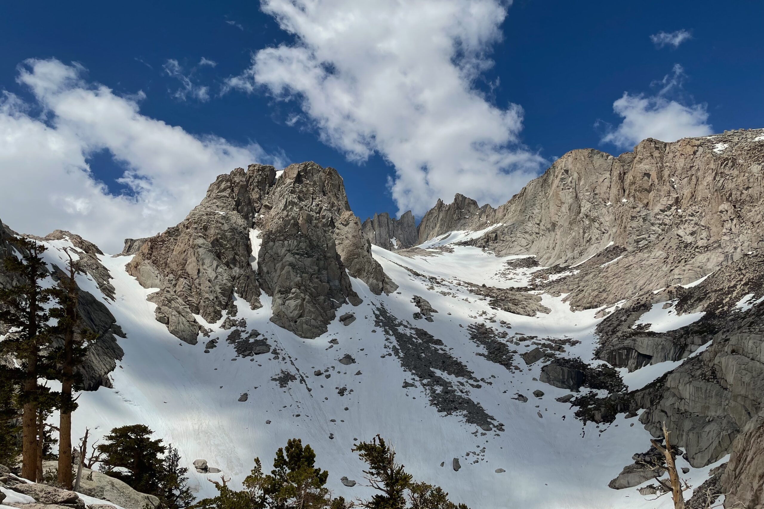
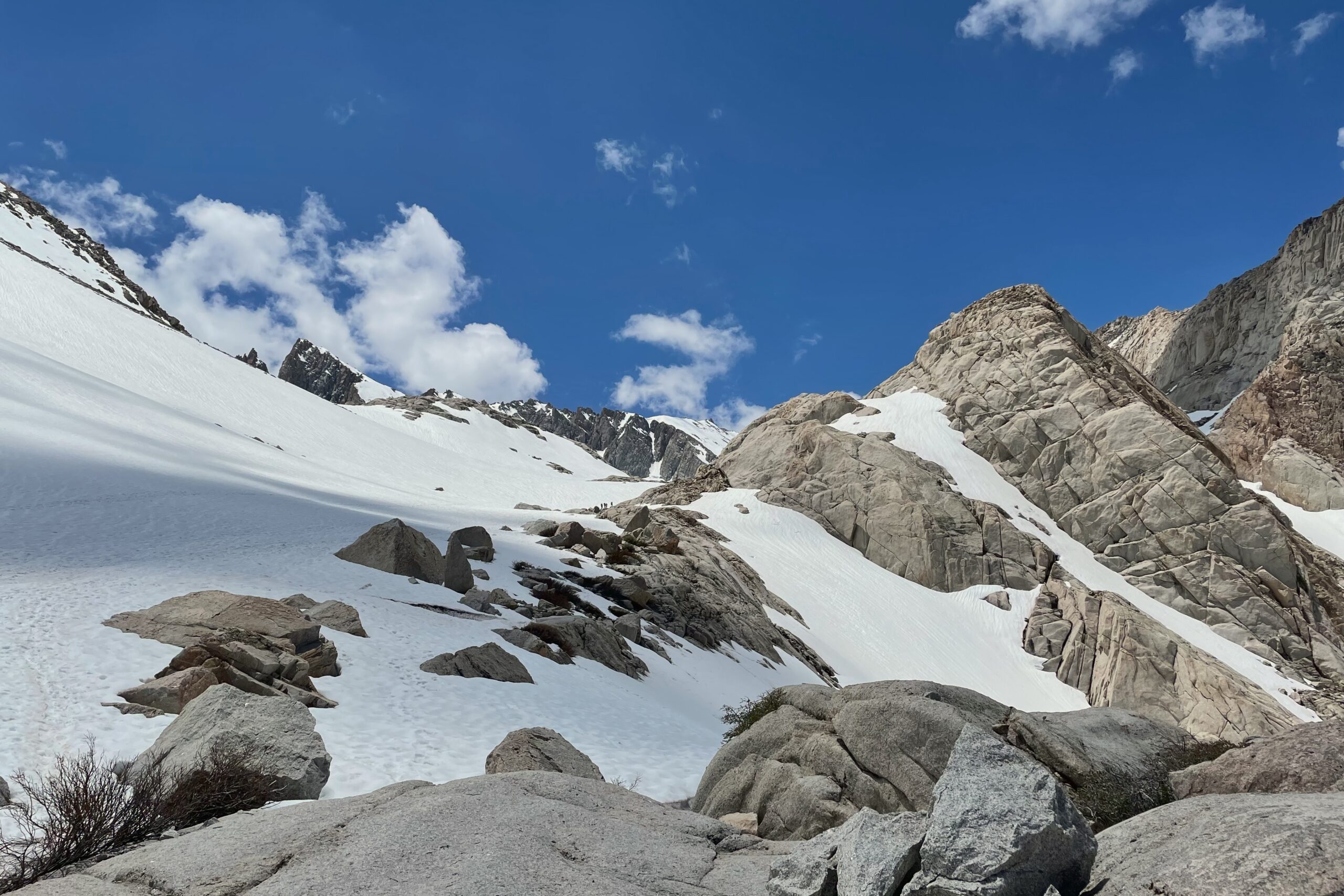
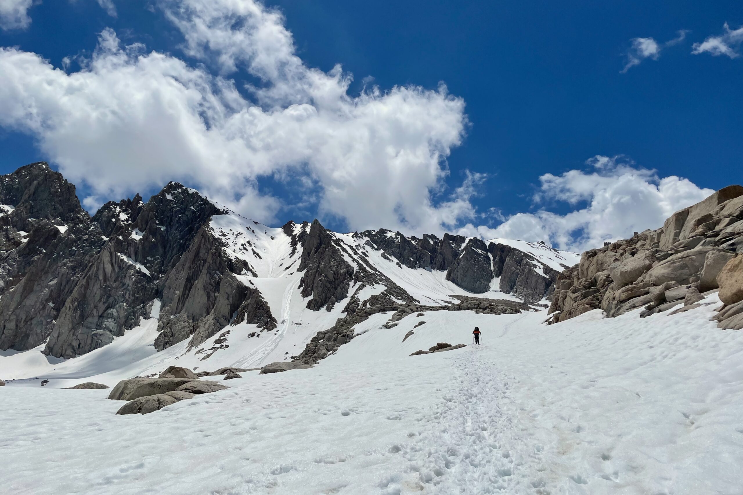
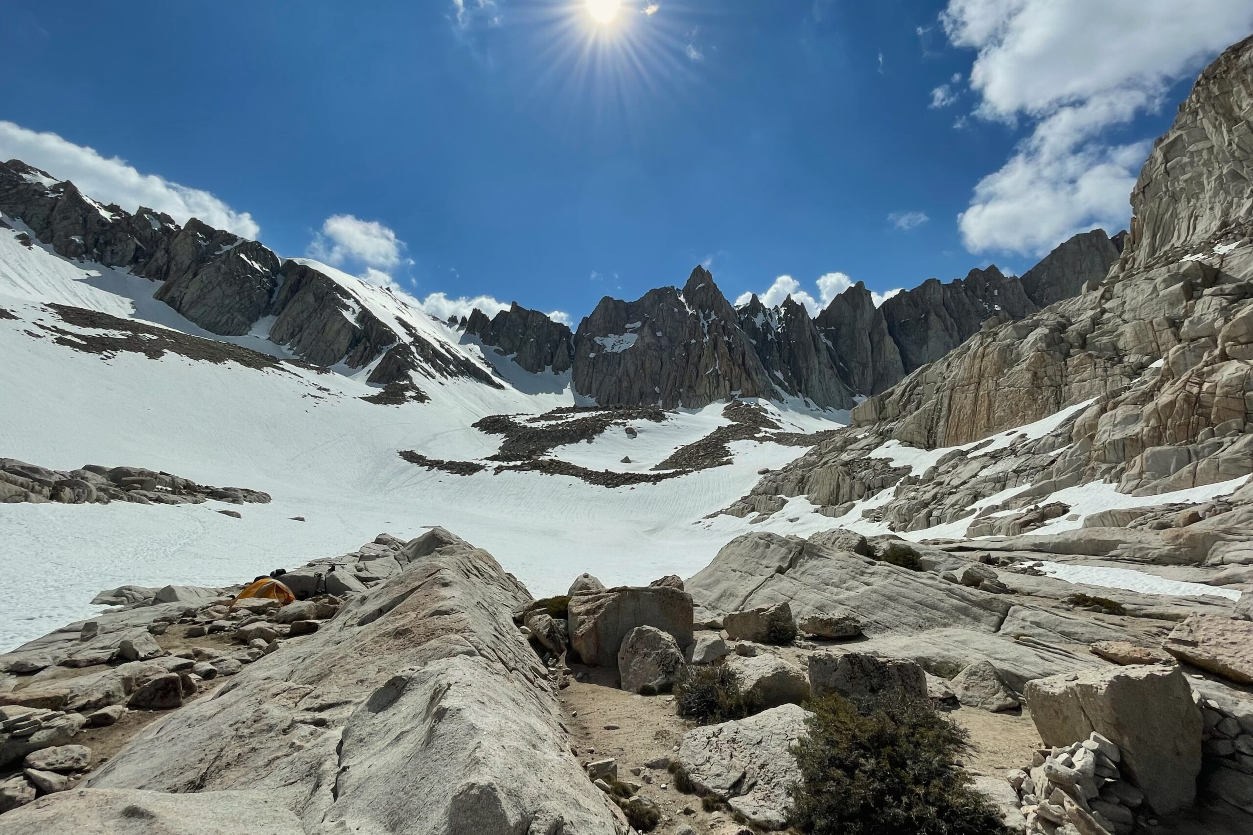
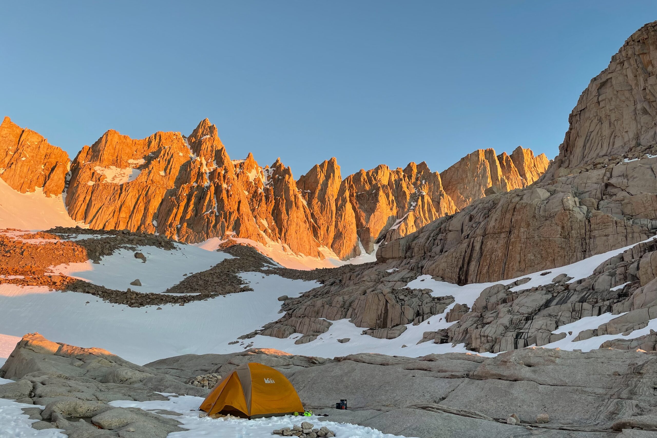
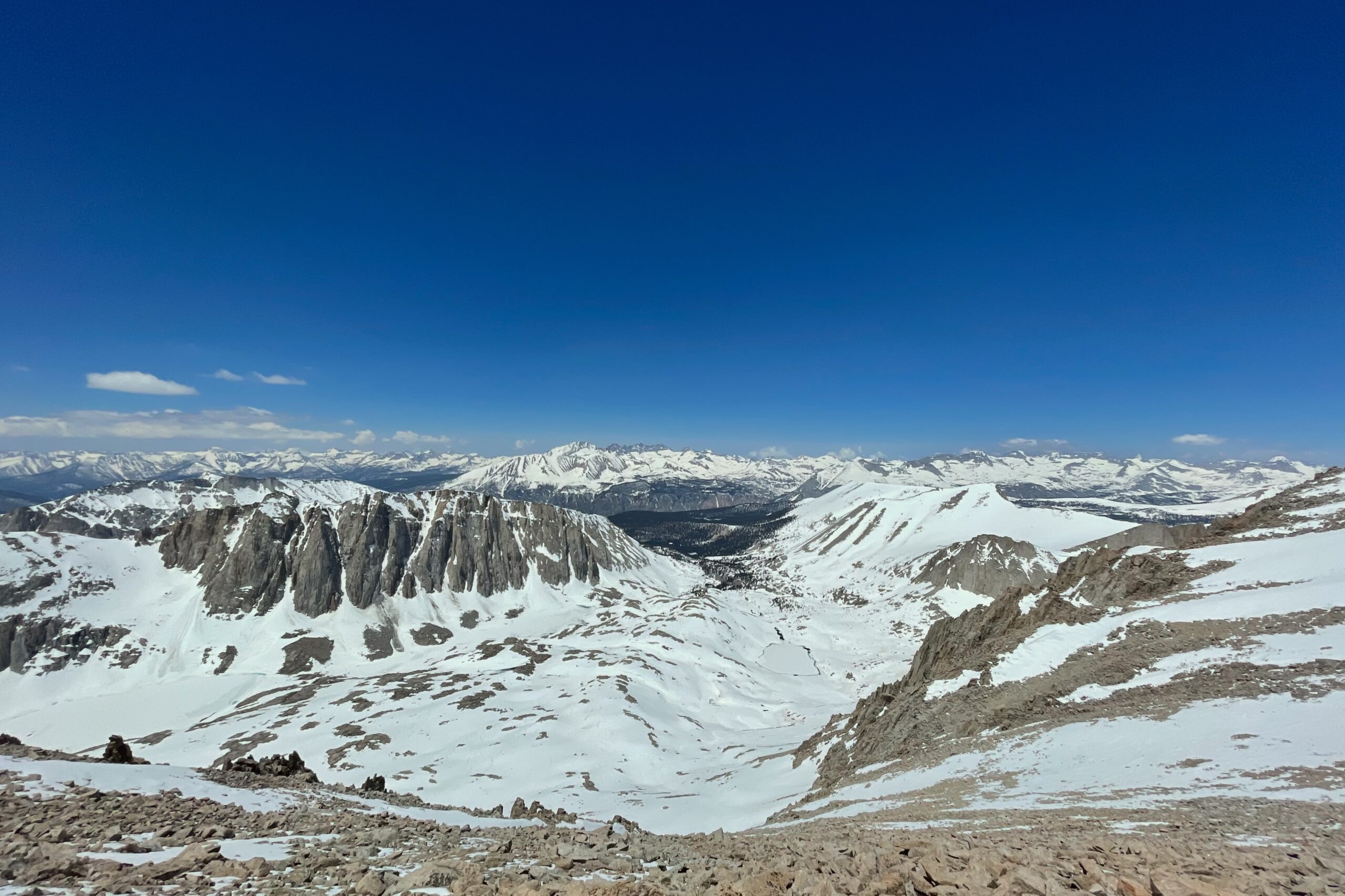
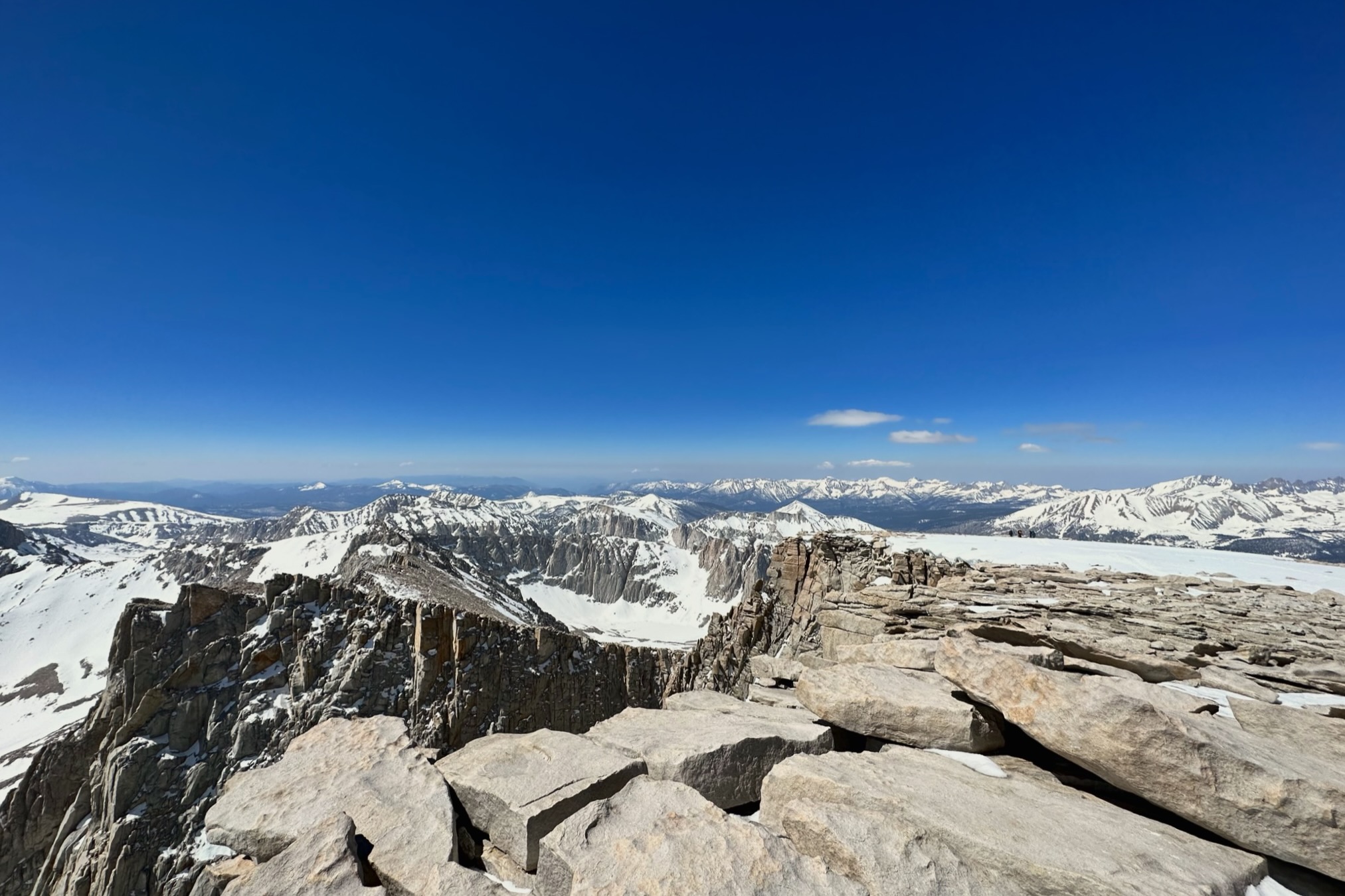
It was a heavy snow year and there was avalanche debris for the first few miles. Within an hour of hiking, the trail was gone and the crampons went on. It was a pretty brutal slog up the mountain mostly following tracks that cut through the (what would have been) switchbacks. I crossed over two ice bridges on the way up, the second, I wish I hadn’t, and found a better route on the way back down. Arriving at Trail Camp later that afternoon, I slept like a baby and started up The Chute the following morning around 5:00AM. It took almost two hours to get up The Chute to Trail Crest. After traversing over to the summit, there was another, shorter punch-up to the top that felt a little risky, but with only a few hundred feet of gain left, and clear skies, it was an easy choice.
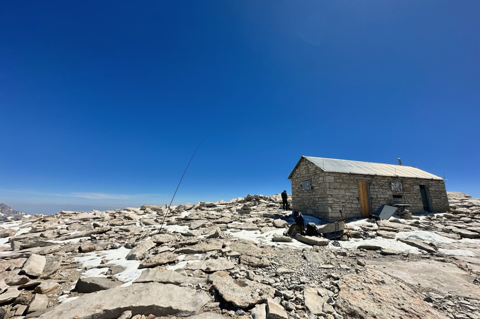
After reaching the summit marker, I found an area with minimal wind and threw the mast up, wedging it between a few rocks. Starting on 20m, the pile-up happened quickly, as you might expect after sending out a spot for a 001 summit. Luckily, I was able to pick out the usual suspects from the chaos without issue. QSB became an issue at some point and I lost at least two callers in the fading during my time activating.
The way back to the car was fairly swift. Traversing back to Trail Crest was sketchy in some places, and I witnessed an avalanche on one of the faces across the valley. Arriving again at Trail Crest, I was met with the 1,200 ft icy, vertical descent that I was told to glissade. I had never glissaded before, but “when in Rome”. Passing through Trail Camp, I packed up the tent with a newfound desire to get off the mountain quickly. The pace picked up continuously with every mile of descent and I was back at the car before sundown.
Website: https://www.sotadata.org.uk/en/summit/W6/SN-001
Map: https://caltopo.com/m/L232G
Trailhead: Whitney Portal, ample parking
Route: Well-marked trail, all the way up to the summit. 21 mi. 7,000 ft of elevation.
KN6RDC on W6/SN-001 (Mount Whitney), 17 Jun 2023
| Time | Callsign | Band | Mode | Notes |
|---|---|---|---|---|
| 17:29 | K6HPX | 20m | CW | |
| 17:29 | ND0C | 20m | CW | |
| 17:30 | K7SO | 20m | CW | |
| 17:31 | K5SJC | 20m | CW | |
| 17:32 | W0ERI | 20m | CW | |
| 17:32 | W0MNA | 20m | CW | |
| 17:33 | K7EFW | 20m | CW | |
| 17:33 | KF9D | 20m | CW | |
| 17:35 | WN4AT | 20m | CW | |
| 17:37 | W1NV | 20m | CW | |
| 17:42 | NJ6Q | 40m | CW | |
| 17:42 | WB6POT | 40m | CW | |
| 17:43 | K6EL | 40m | CW | S2S W6/NC-298 |
| 17:44 | K6YK | 40m | CW | |
| 17:45 | N6AN | 40m | CW | S2S W6/CT-054 |
| 17:46 | KH2TJ | 40m | CW | |
| 17:47 | W7GA | 40m | CW | |
| 17:47 | W6TDX | 40m | CW | |
| 17:48 | NT6E | 40m | CW | |
| 17:49 | KN6DMO | 40m | CW | |
| 17:51 | WO6JO | 40m | CW | S2S W6/SD-026 |
| 17:52 | K6QCB | 40m | CW | |
| 17:53 | N6MTB | 40m | CW | |
| 17:55 | WD7Y | 40m | CW |