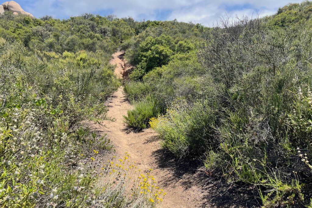
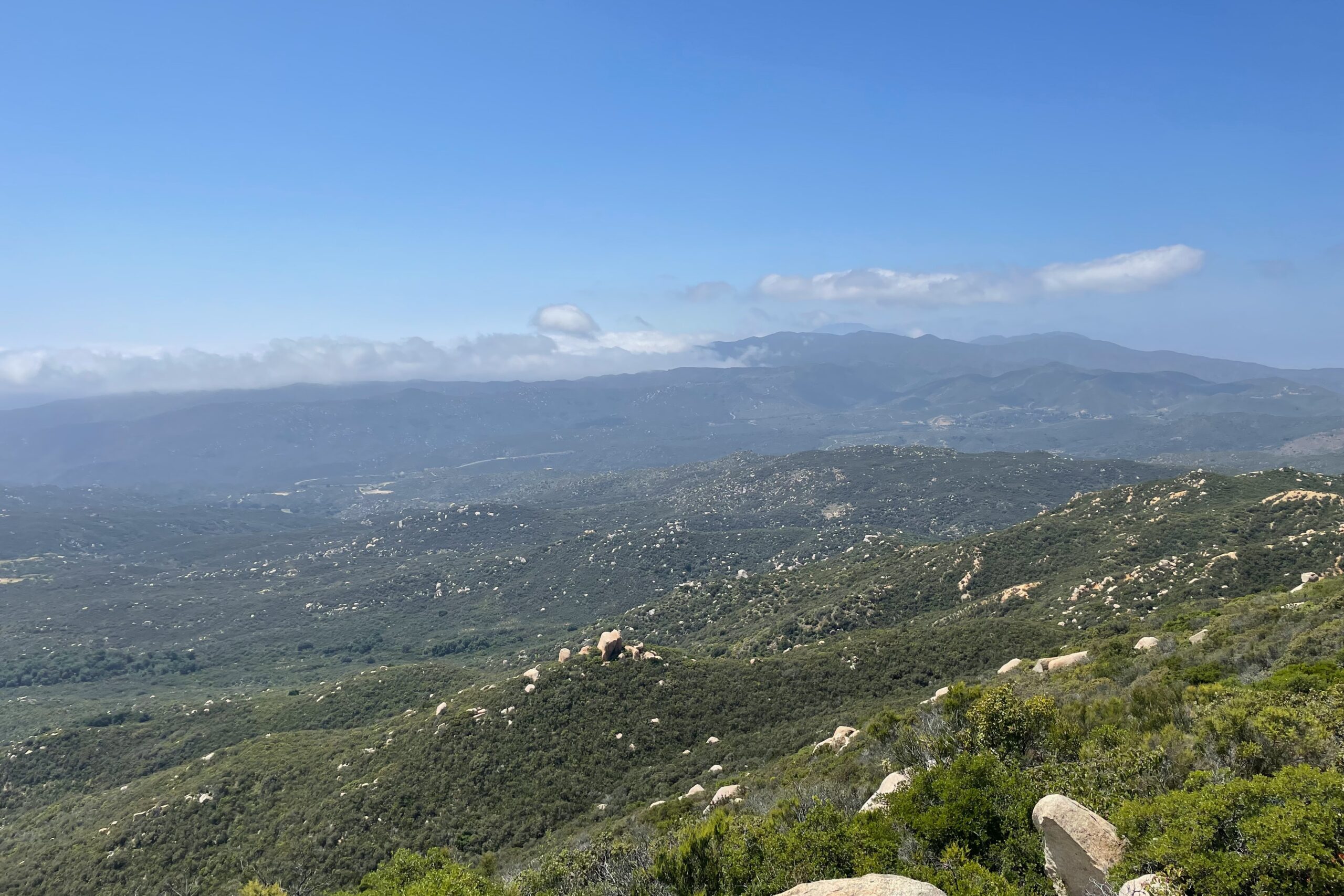
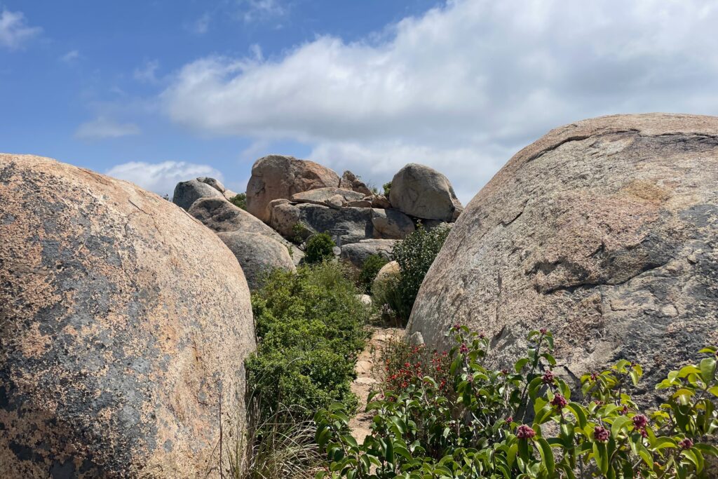
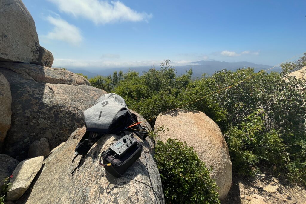
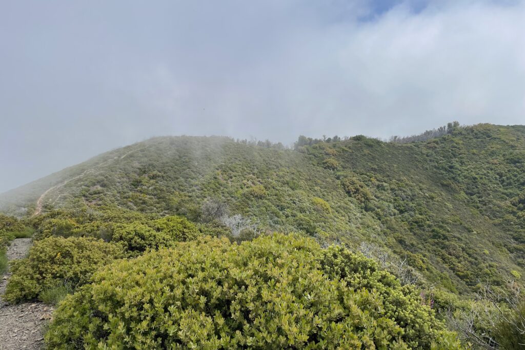
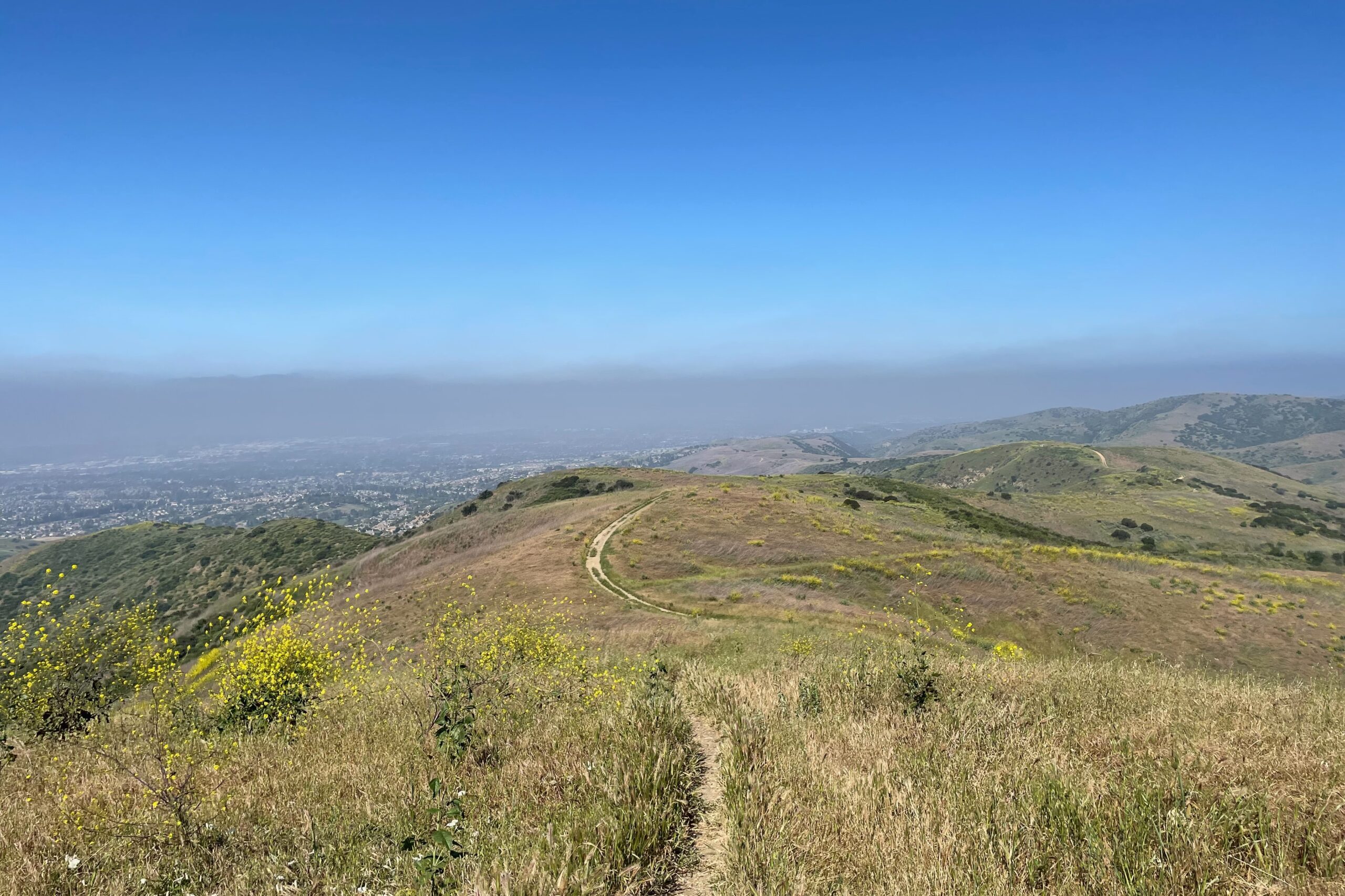
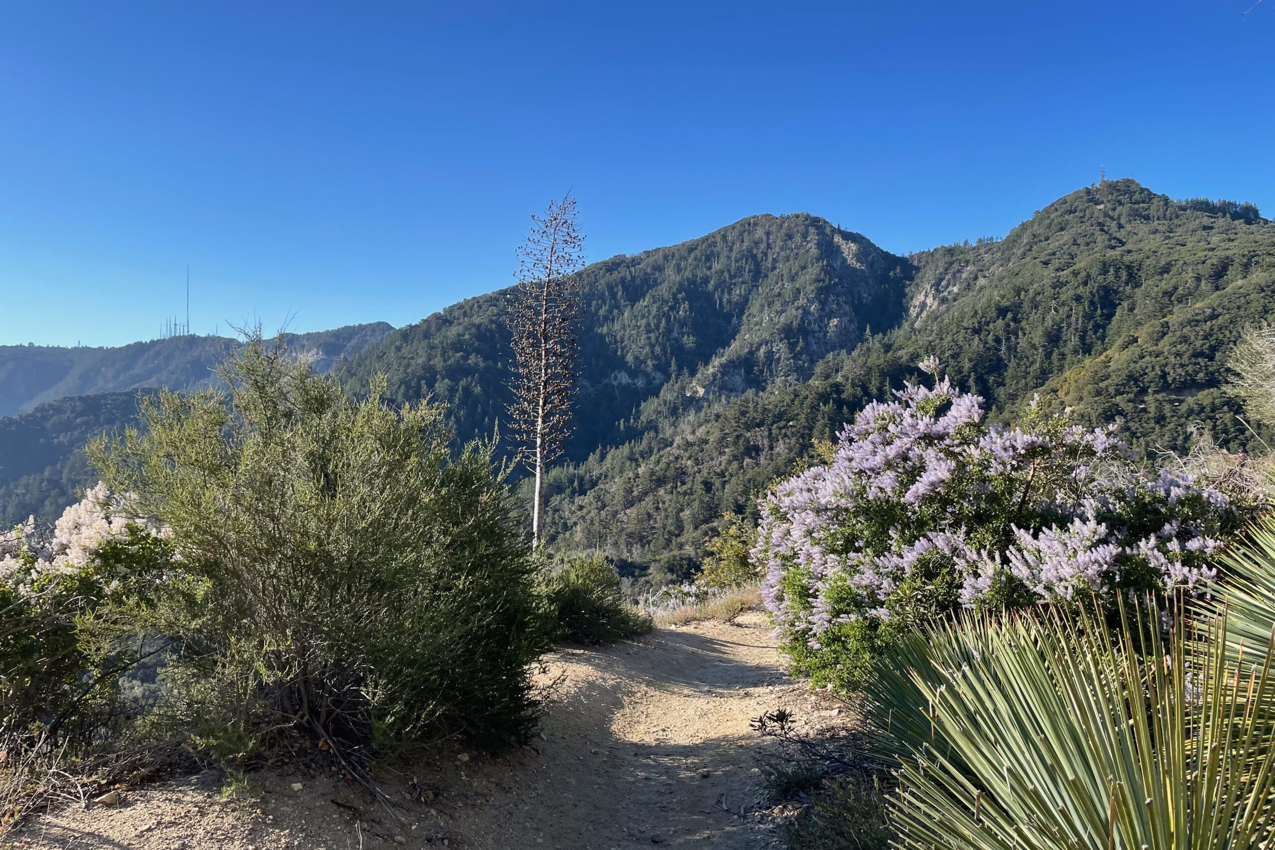
The first section of this trail is mostly covered and follows a stream, crossing it a handful of times. Soon it opens to a desert landscape with little shade along the route. The trail is mostly decomposed granite but has a few steep, sandy sections that have been rutted out by runoff. It’s a pleasant hike with a very gradual gain all the way to the top. Once on summit, I set up for 2M and made a few quick contacts before moving to HF for a bit. Conditions were still a bit off, so after a few on 40M, 30M, and 20M, I packed up and called it a day.
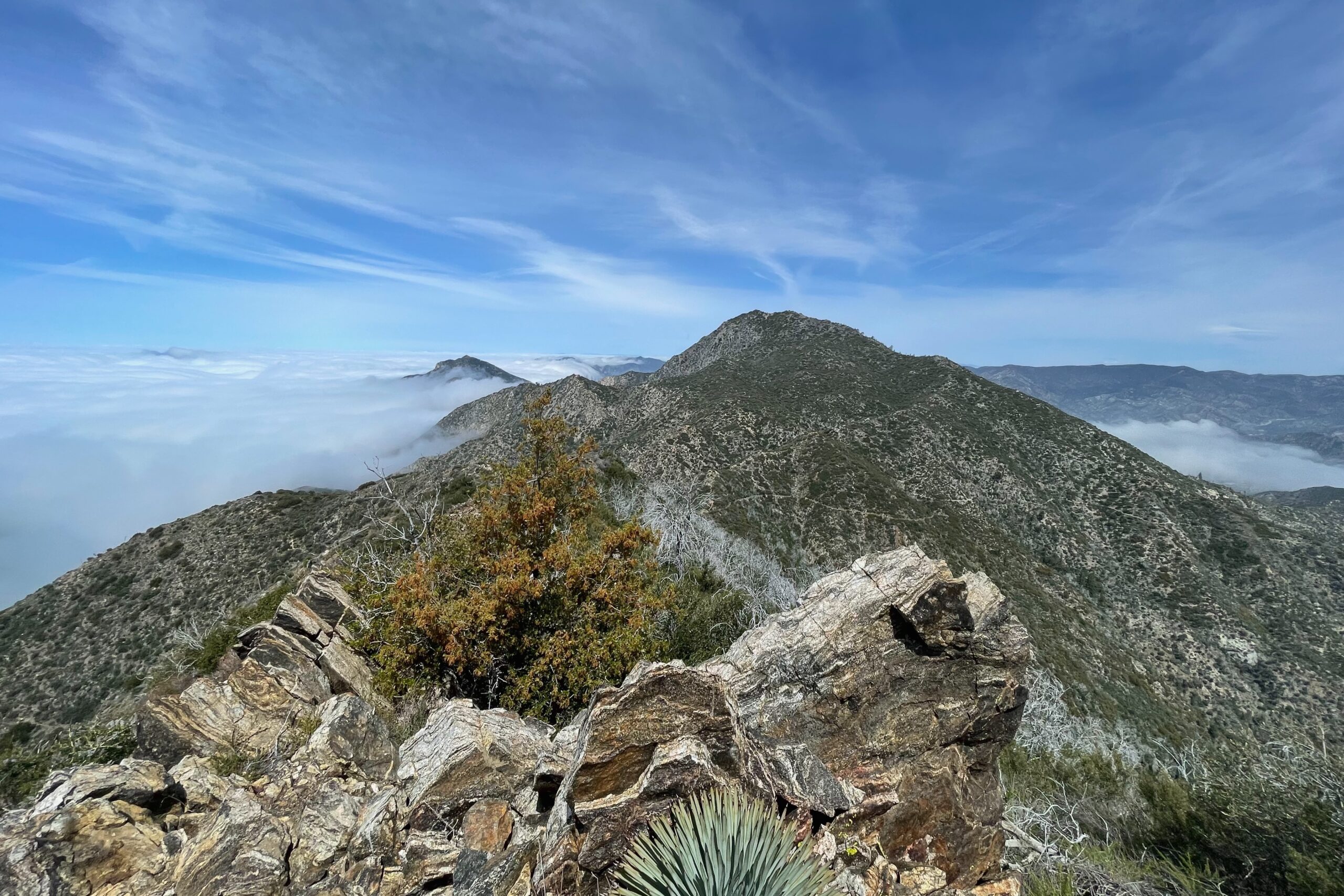
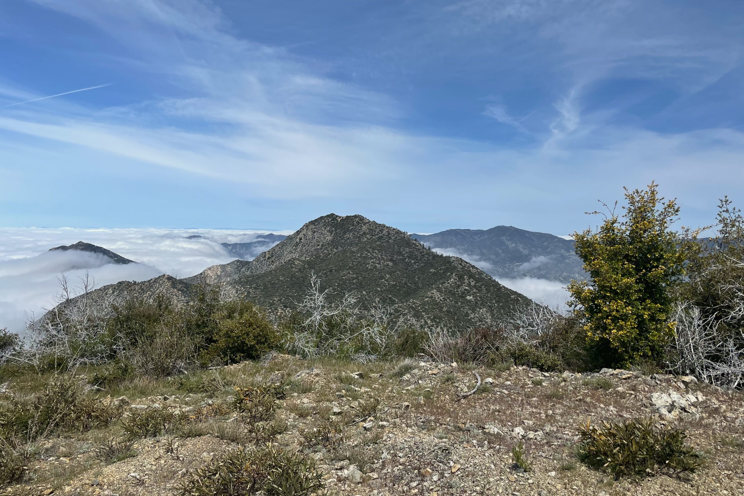
I activated this peak back in Nov 2022, but I was in the area for Trabuco Peak so I figured I’d do it again. It’s a nice hike and the temps were cool with the sun just starting to peak through the clouds. Band conditions were weird with some strange warbling across all the HF bands. I’m still not sure what it was exactly, but at least I had 2M with a few local folks already aware of my planned summits for the day.
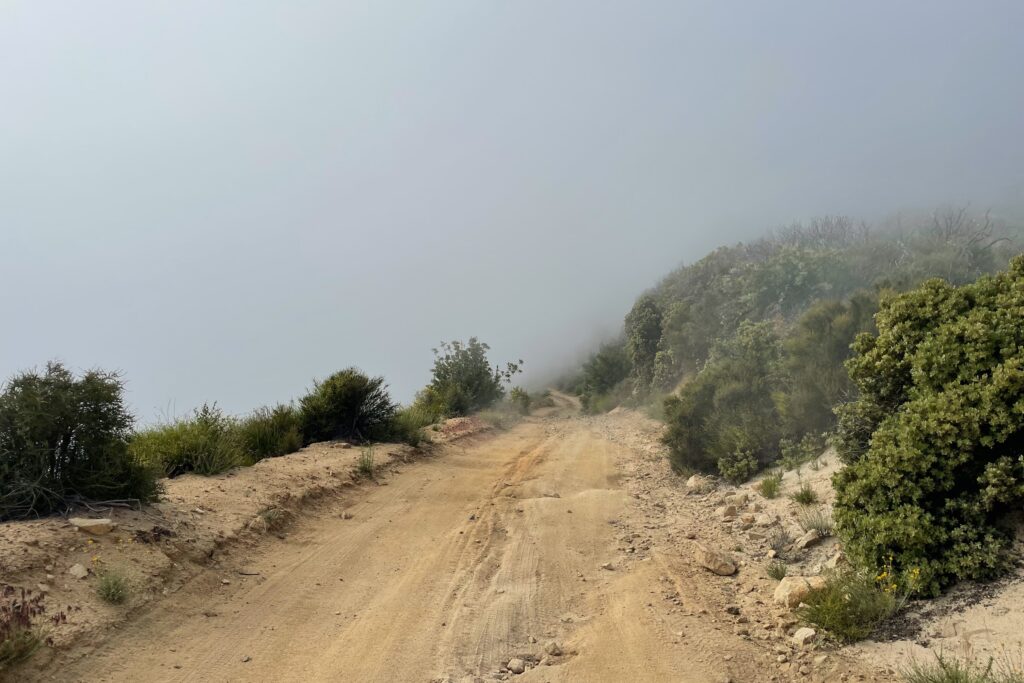
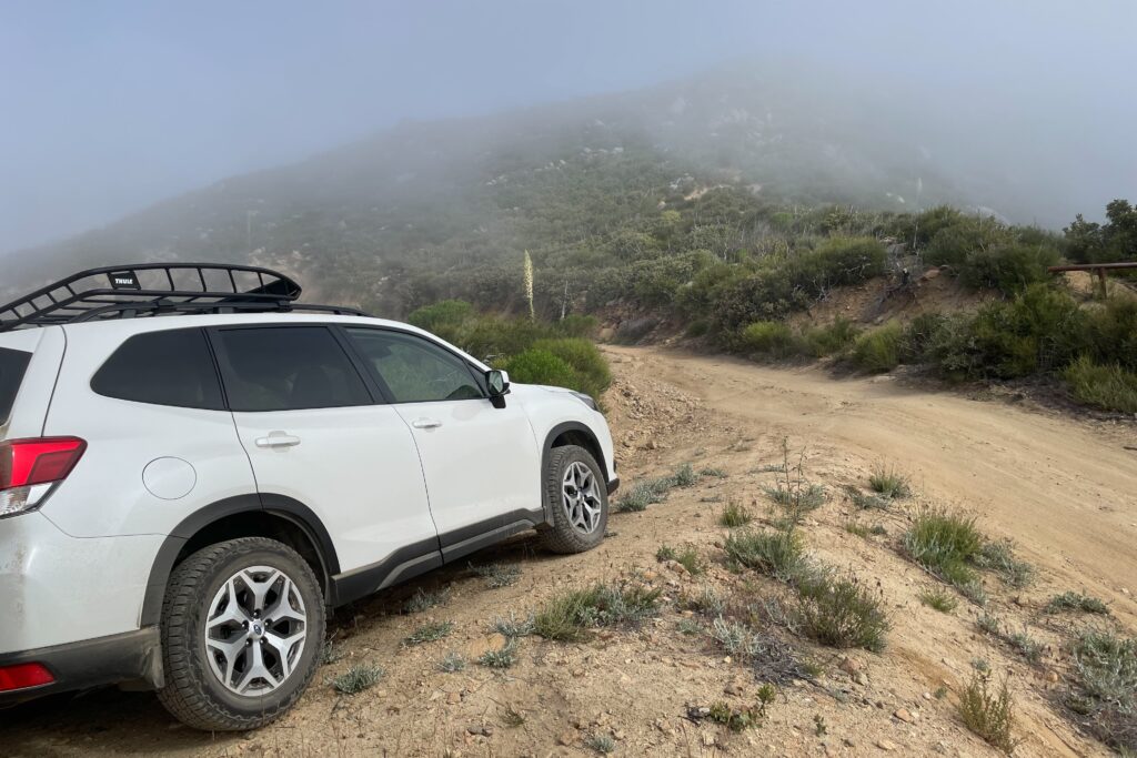
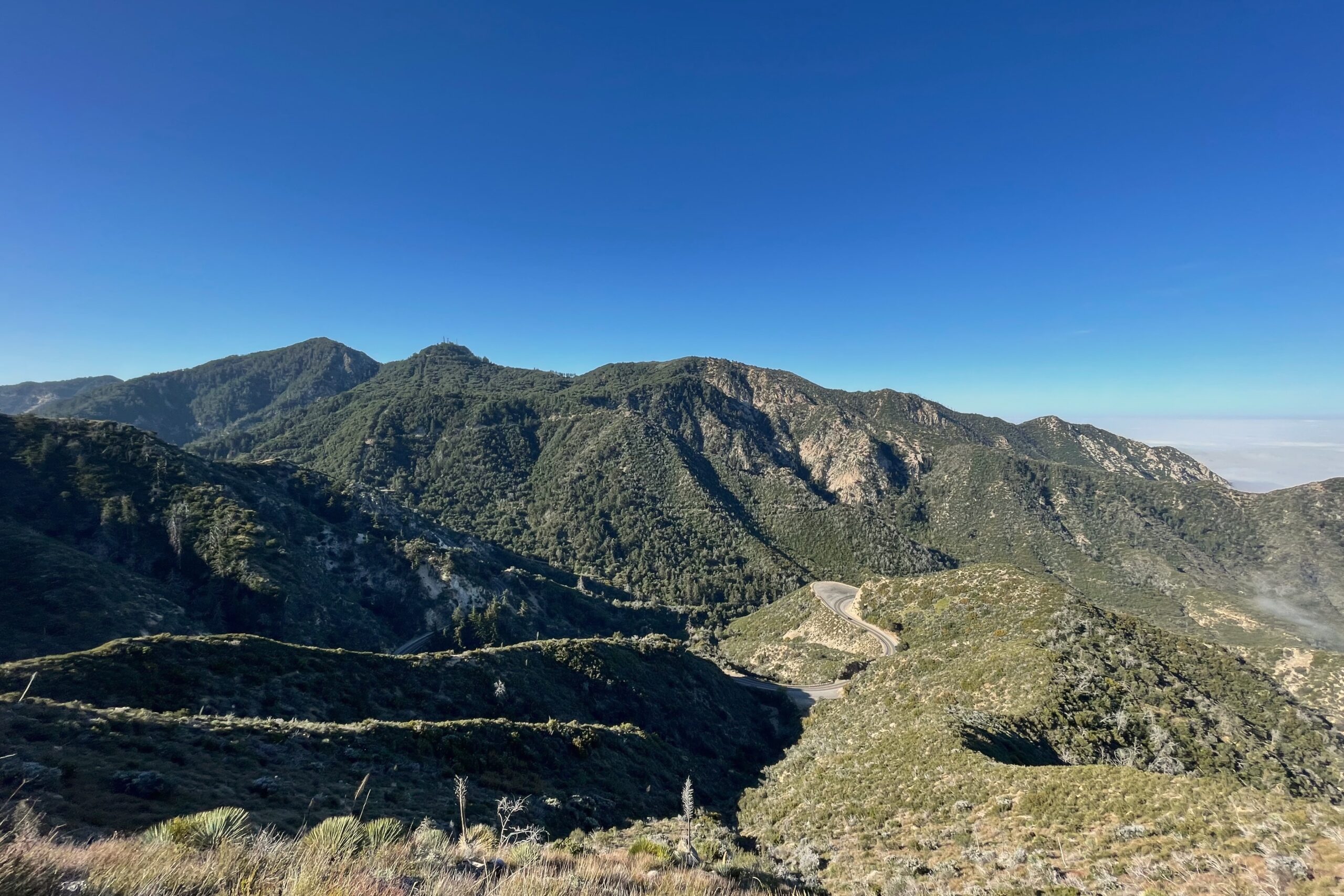
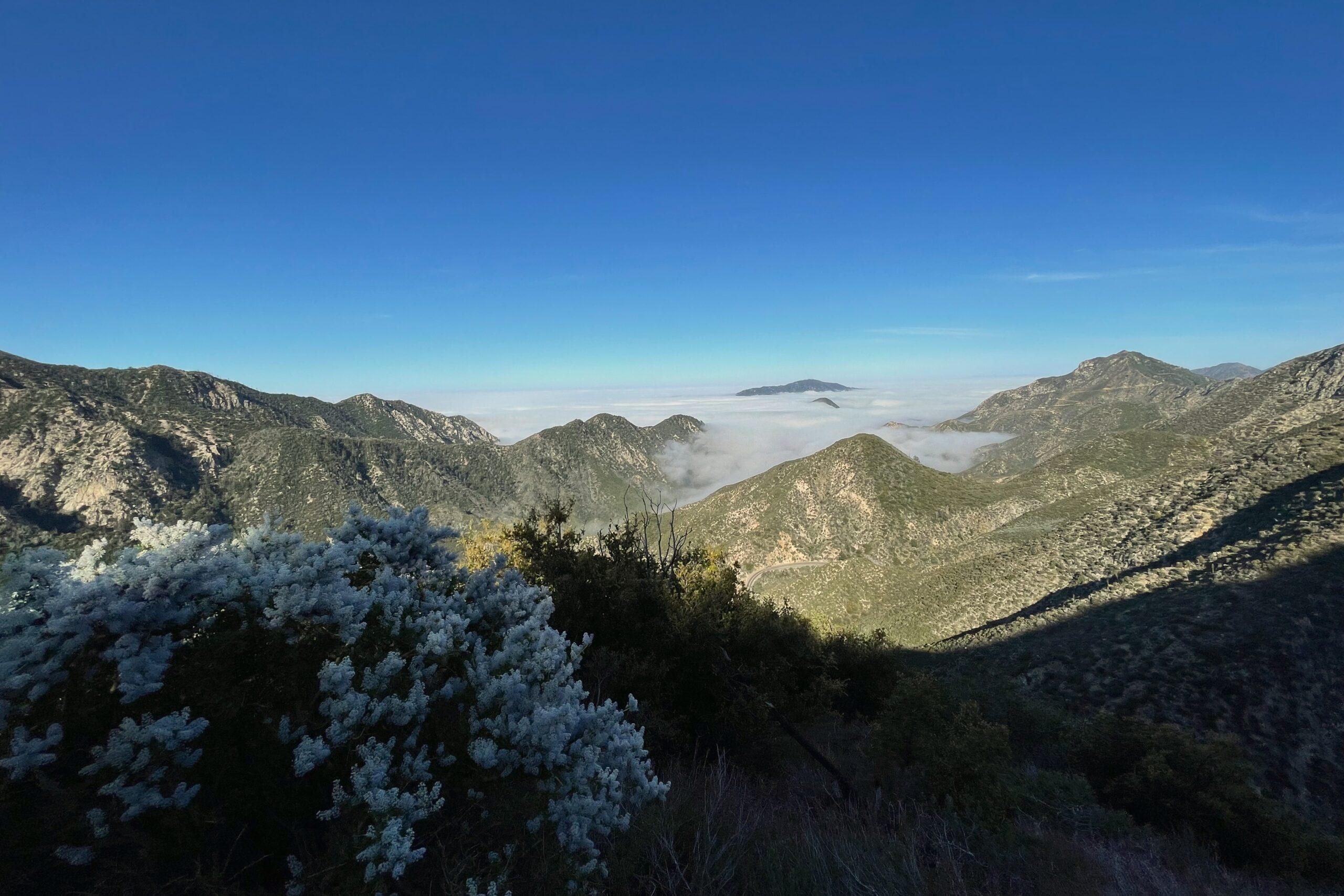
This is nearly a drive-up summit in a vehicle with decent enough clearance. The Subaru Forester held up just fine on the North Main Divide leading up to Trabuco Peak. 90% of the road is tame with only a small section being rutted out as I got close to the peak. There is a parking area just at the base of the hike up. If the clouds weren’t so thick, I could probably see the summit from the parking spot.
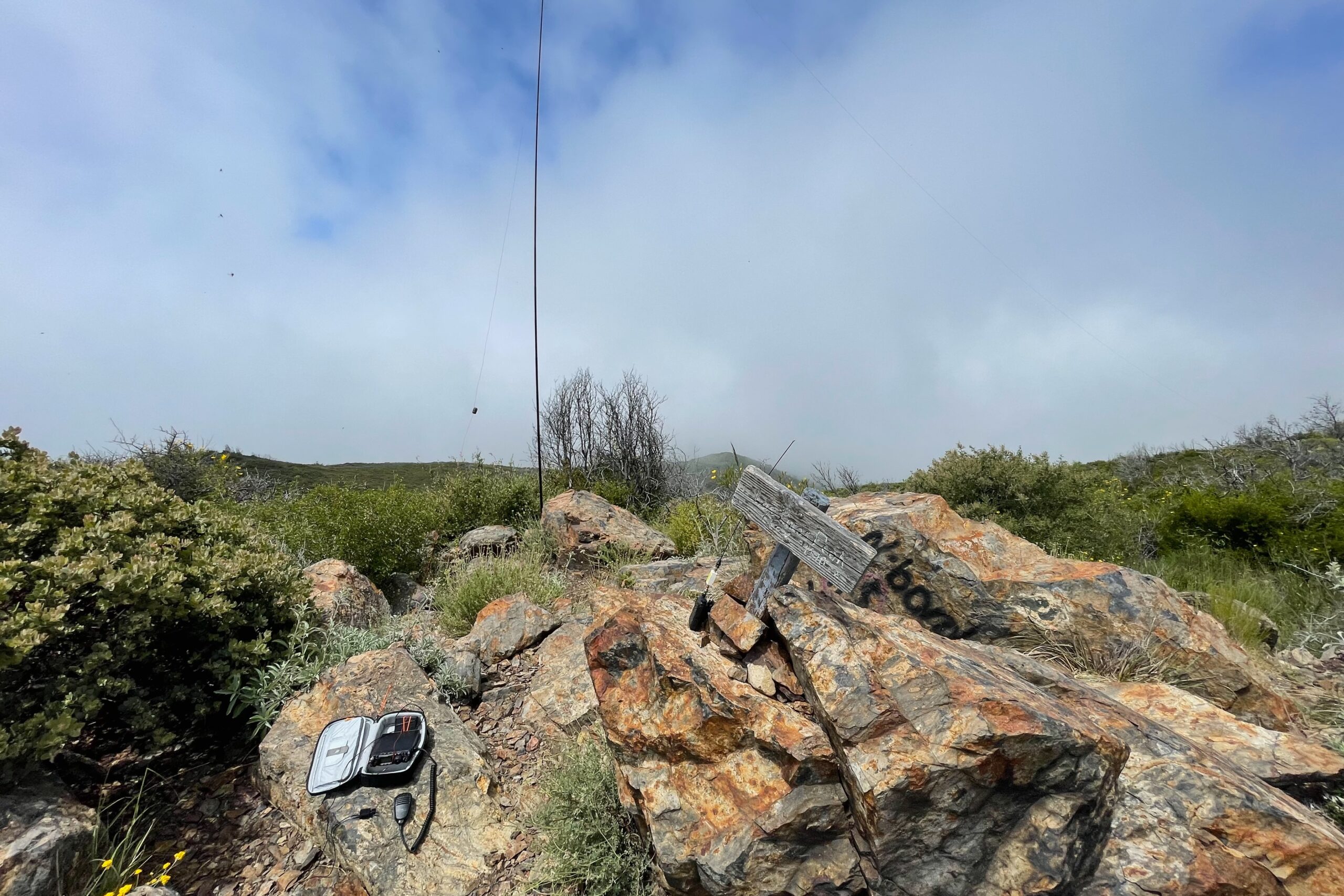
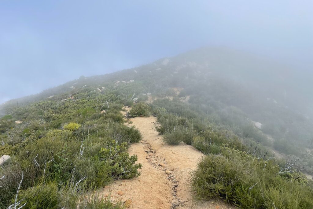
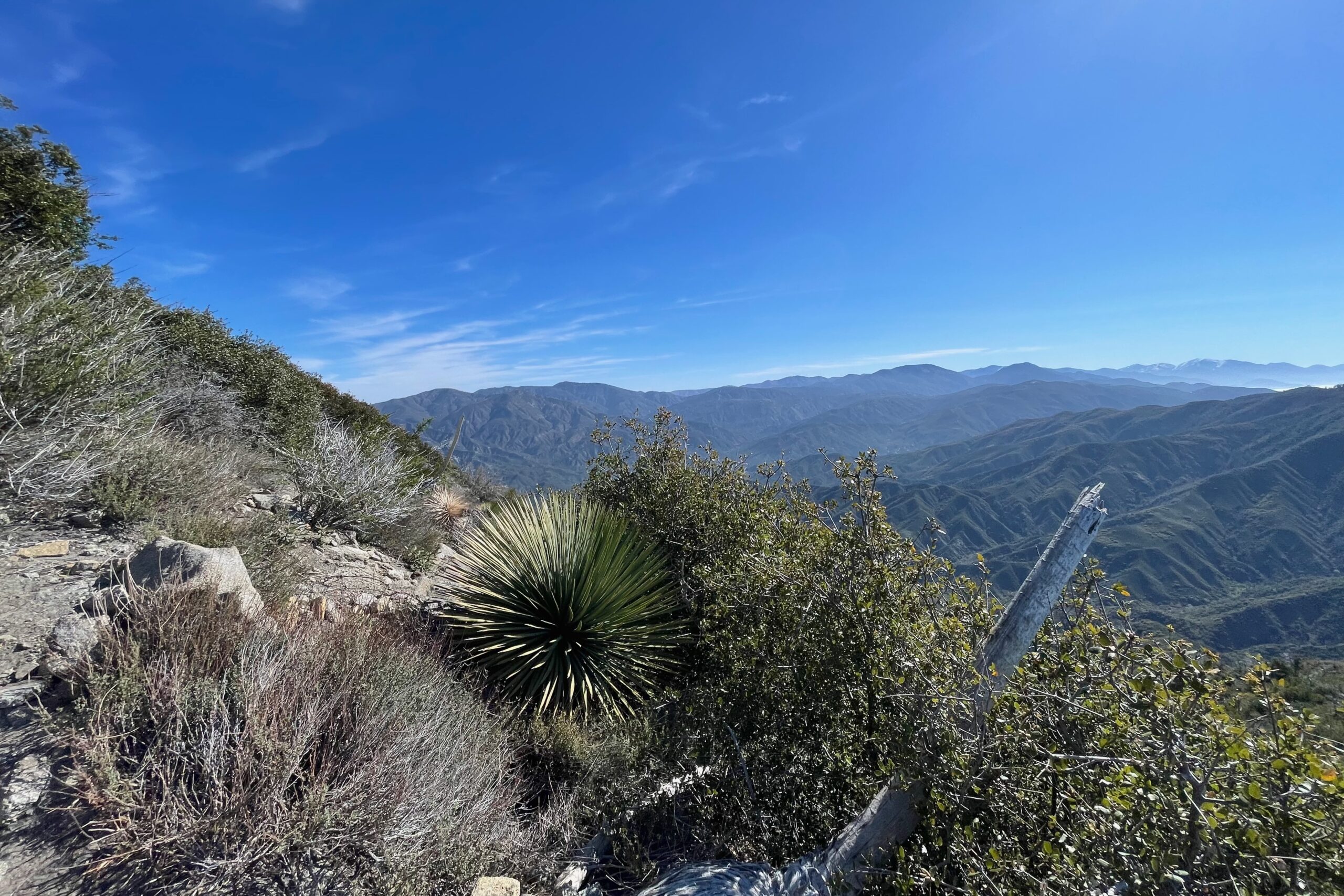
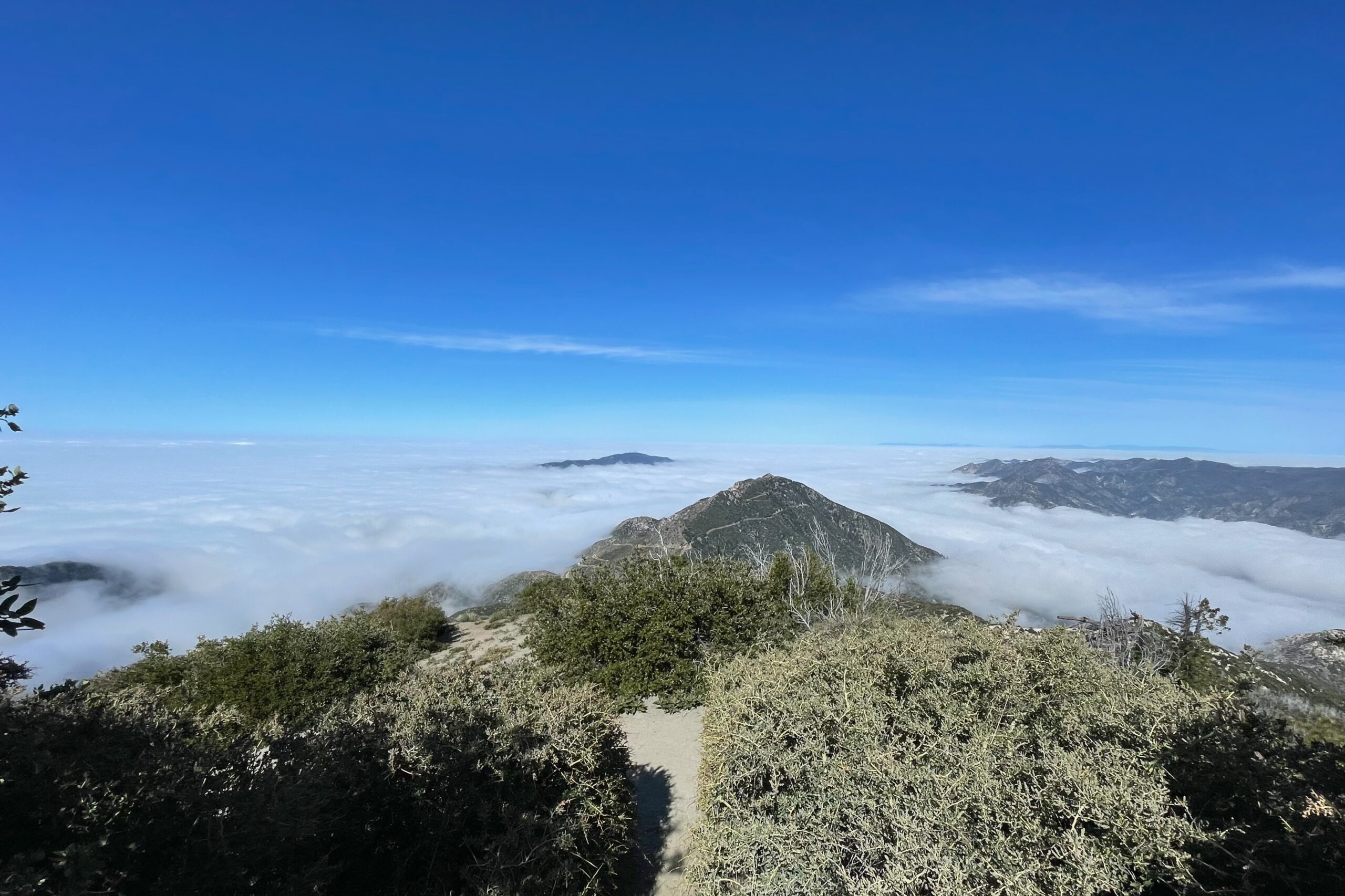
It’s less than .25 mi to the top. The summit is covered in thick shrub, but there is a section with some open space just shy of the top, which is where I set up my operating position. I started on 20M and ended up getting Japan and a S2S with a Canadian station which was pretty neat. A few 2M local contacts and it was off to the next summit.
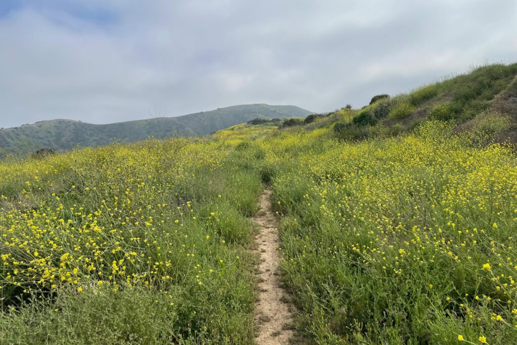
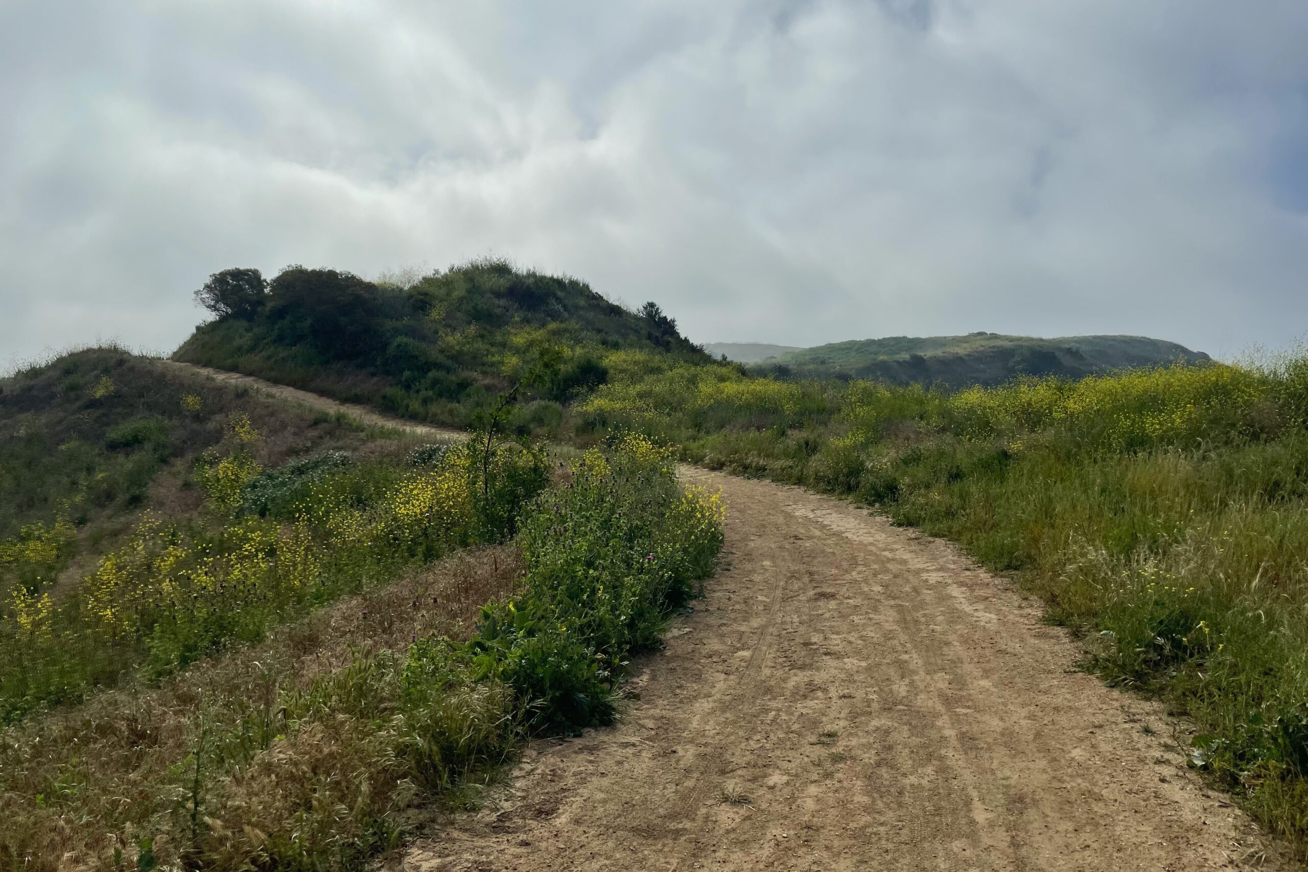
The parking area for San Juan Hill was convenient, it looks to be an equestrian trail, though I didn’t see any horses while there. The trail starts off through a residential neighborhood, quickly cresting a ridge and dumping you into Chino Hills State Park. This route was very runnable, but I chose to take it slow since I had a few more summits on my list for the day. The trail was very busy with a few groups encountered in my time there.
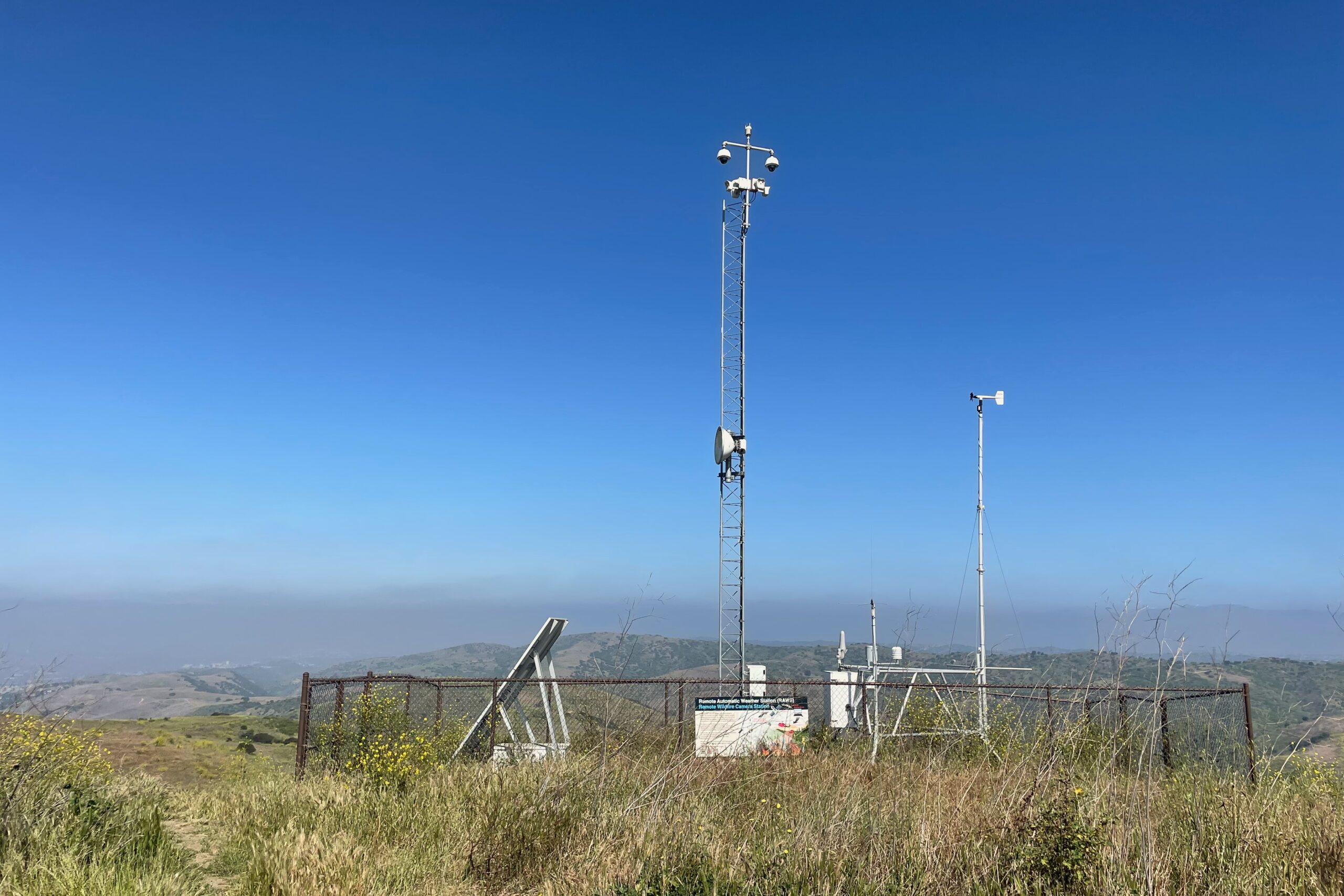
I had a quick S2S with K6RIN at the top and quite a few more contacts on VHF. I was using a Yaesu FT1D with a band-pass filter and Signal Stick antenna. I was surprised how many 59 signal reports I received. With the recent solar activity that had even the general public buzzing, the HF bands were totally dead and I gave up trying after about 10 minutes of calling CQ.
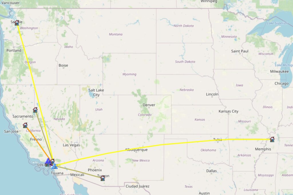
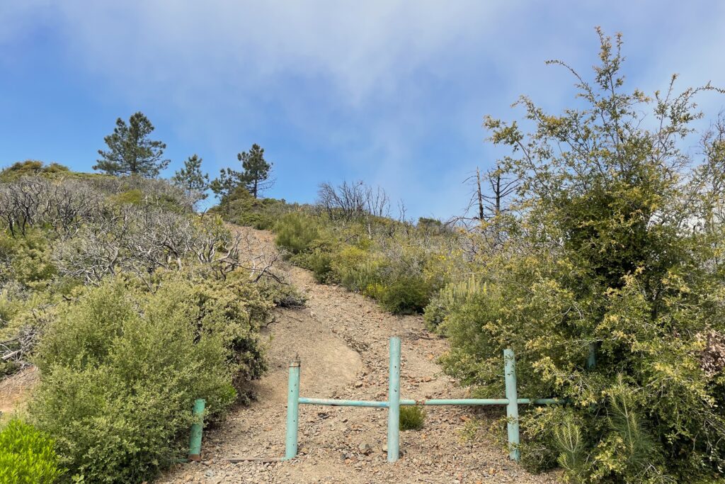
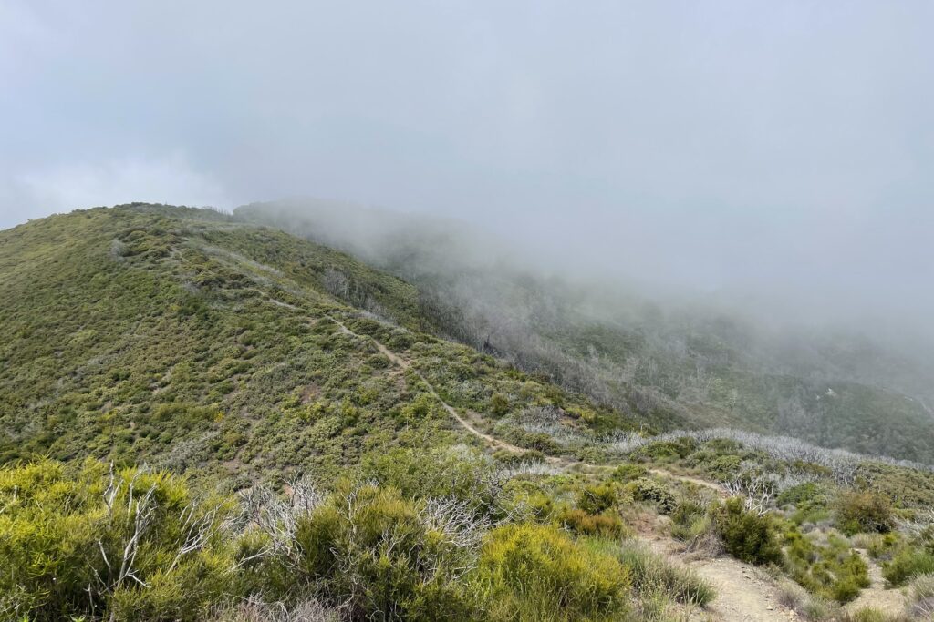
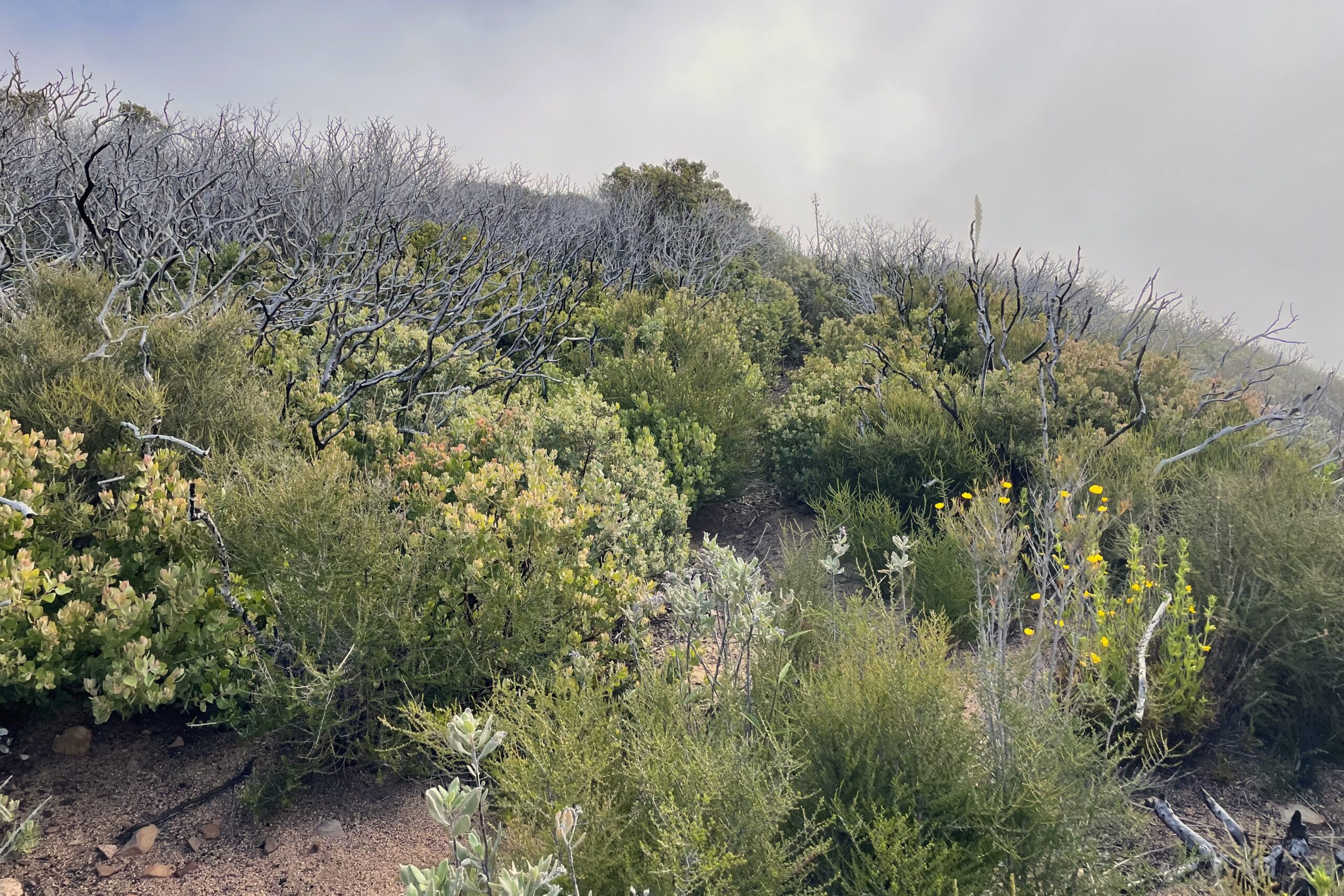
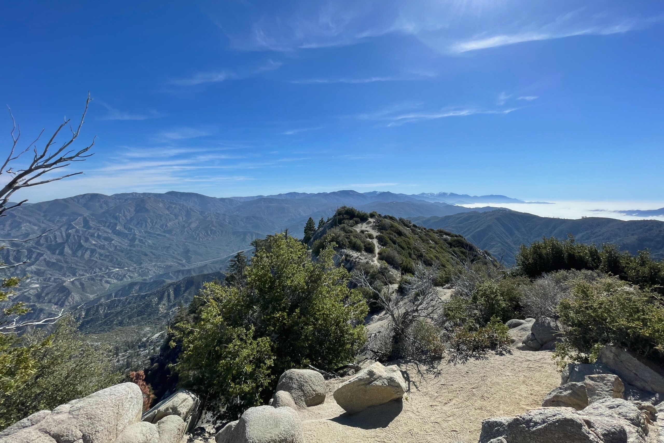
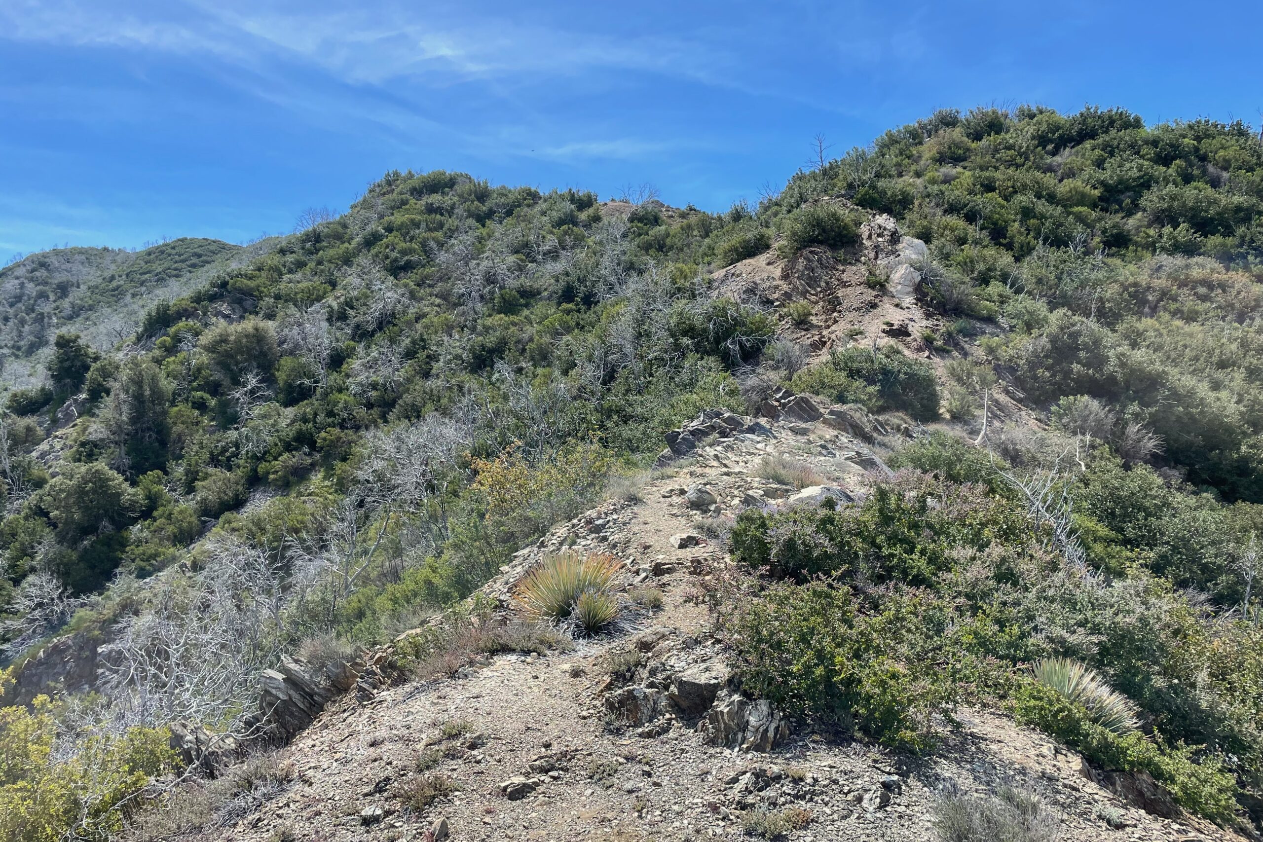
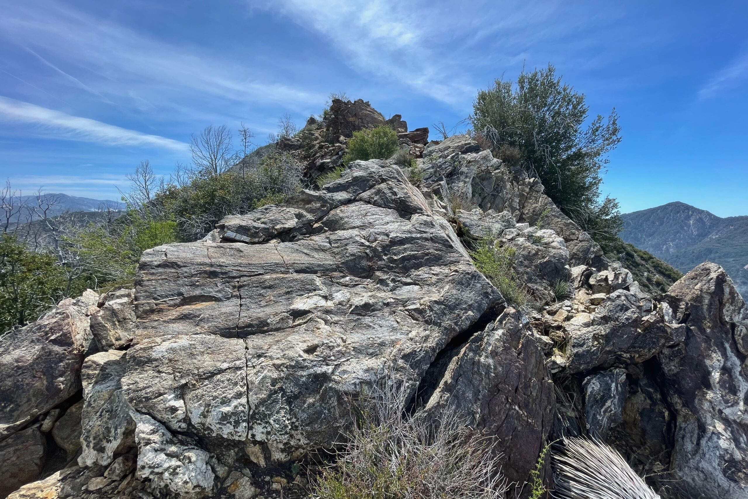
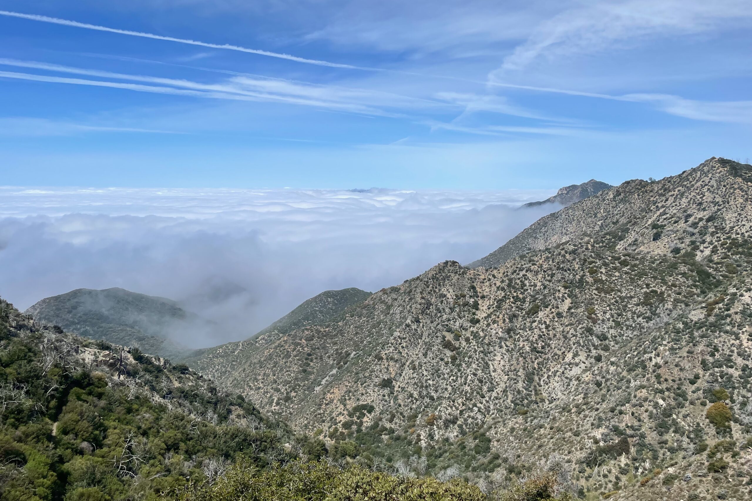
From the top of Strawberry, I decided to head over to Lawlor. Since my parents were also with me on the trail with me, we planned to meet up at the bottom of the fire break just below Lawlor. They did great on the trail, but I didn’t feel like risking injury bringing them up Lawlor with me. Heading down Strawberry was a fun, punchy descent, I only wish there were less people on the trail. Once at the saddle between Strawberry and Lawlor, the terrain changes and the trail is all but gone. Heading up the ridge to Lawlor, there are a few patches of large rock you need to skirt around or scramble over. Nearing the top, the trail is very overgrown with waist high buckthorn type foliage.
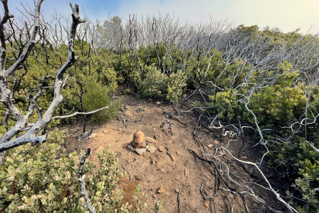
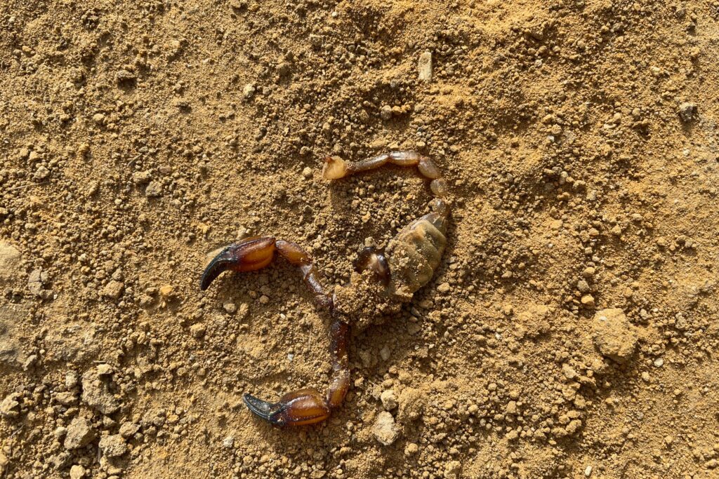
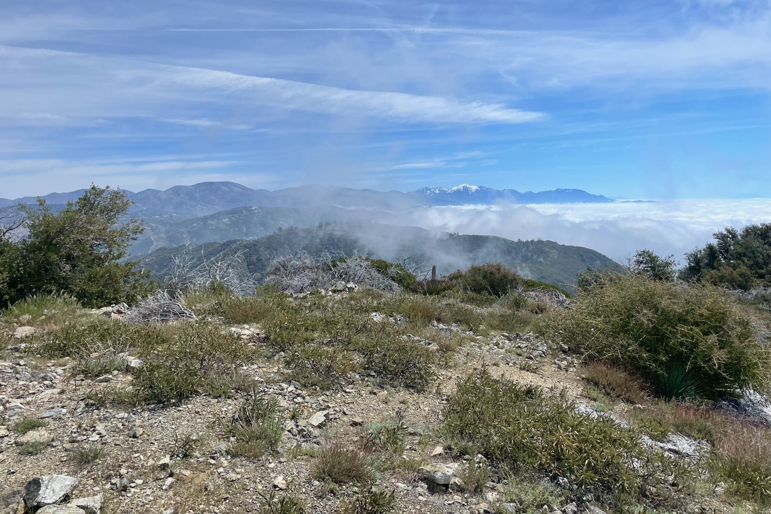
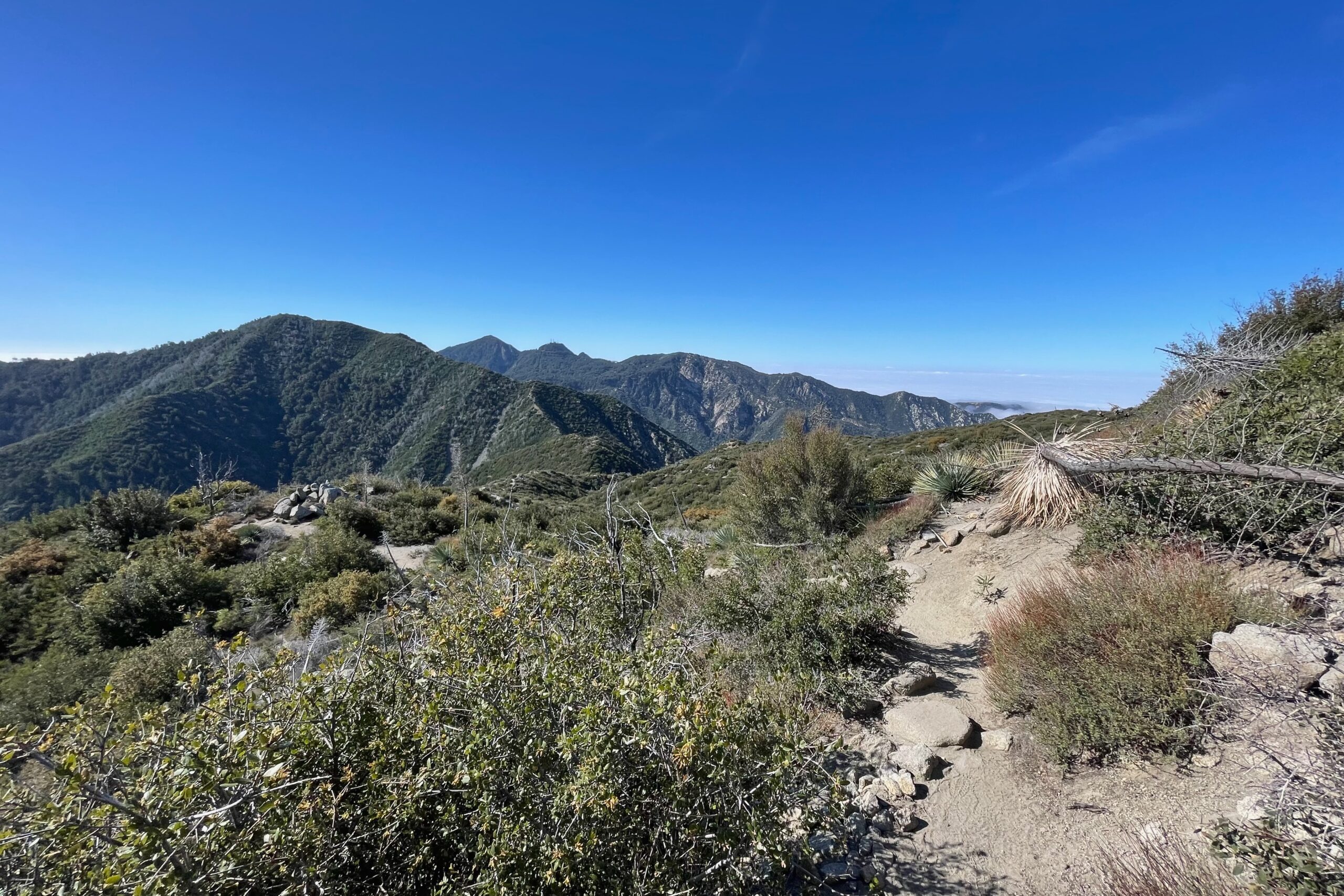
The summit block was covered in large black flies, so it was going to be a quick activation if I could make it happen. Again, no cell-service so I was hoping that my alert would trigger once I got on the air. Similar band conditions on this summit, 40M was decent with a few contacts being made on 10M as well. I’ve said it before, but I really need to learn how to spot via APRS. Before my next summit, I’m going to figure it out.
The route I took back down from Lawlor was terrible. If you choose to take the fire break back down to the trail, prepare for some falls and slides. It was very steep and loose and if I had to do it over, I would have gone back down the way I ascended.
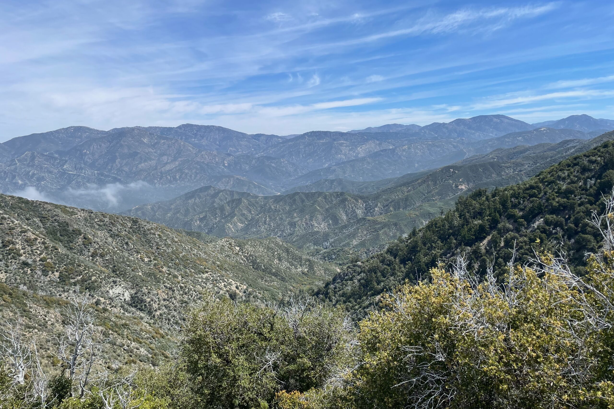
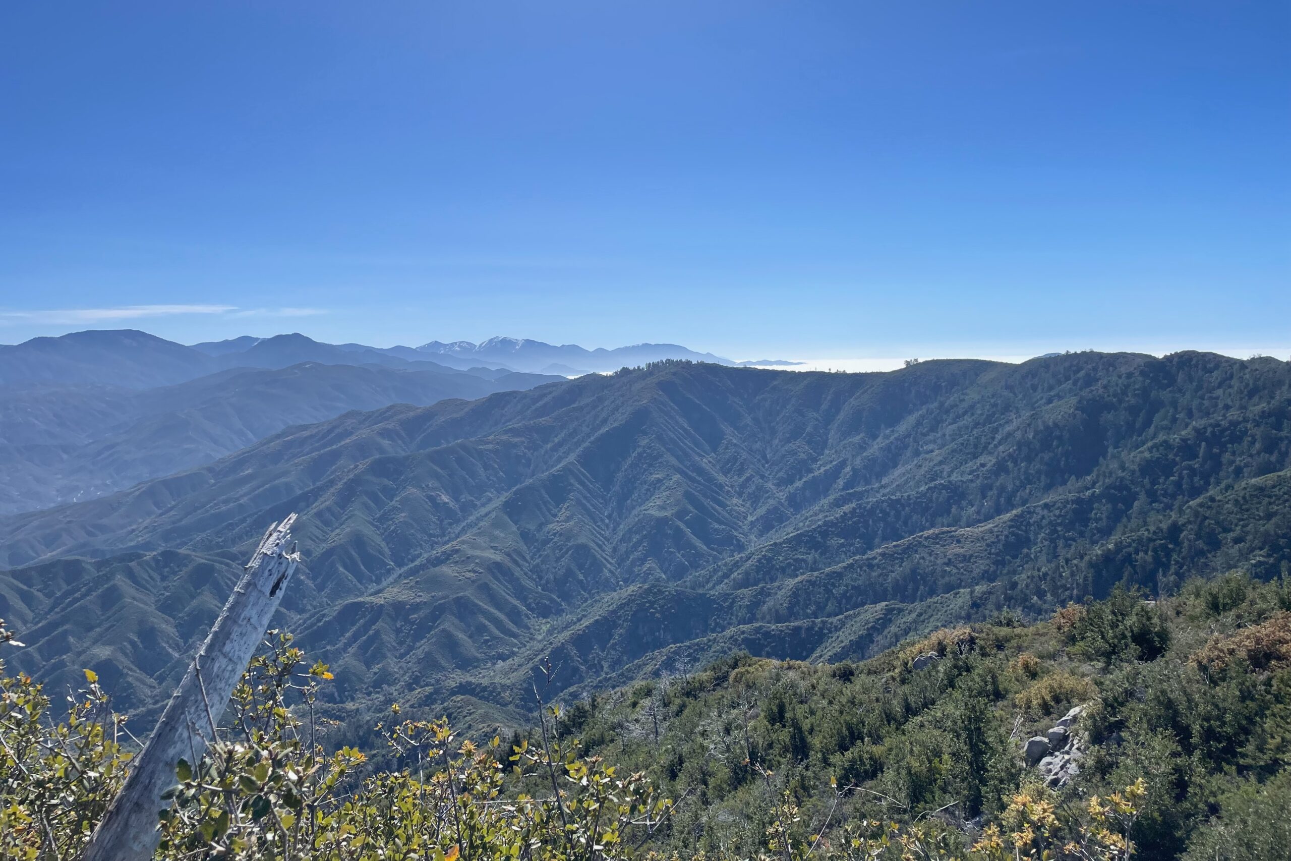
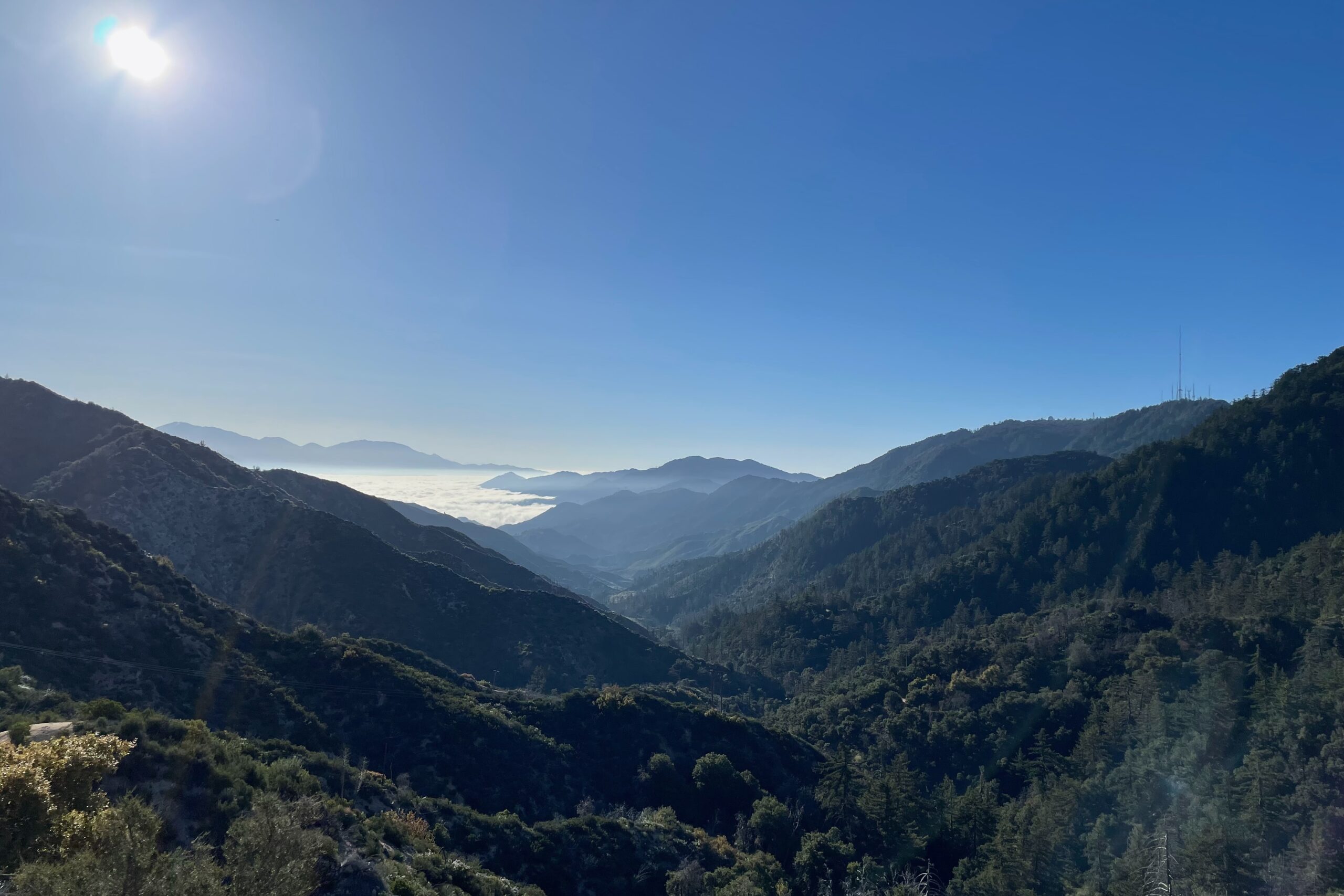
I decided to take my parents out for a hike in the Angeles National Forest. With the section of SR-2 from Mount Wilson Red Box Road to just west of Upper Big Tujunga Canyon Road closed for the season, I thought getting out to this little pocket of peaks would make for an ideal Saturday morning. We arrived at the trailhead around 07:30 AM and the parking was already getting busy.
My parents are healthy and their fitness levels are quite good. Although, hiking is a bit out of their comfort zone, so we cruised the first few miles to the base of Strawberry. At that point the trail changed and started getting much steeper. The trail to Strawberry is well-marked and busy on the weekend. I must have seen at least a dozen people on the way up.
With no cell service, I was relying on the Reverse Beacon Network to pick me up and spot me based on the alert I had set the day before. I started with the Yaesu FT-817ND on 40M and quickly gathered a few contacts. Moving over to the other bands, I didn’t hear anything on 20M or 15M, but got two contacts on 10M before a group of young engineers stopped and wanted to talk about what I was doing. They were really nice and I always try to be as pleasant and educational as possible when I’m out activating busy summits. VHF was impossible since I had left my band-pass filter in the car.