Frankish Peak is a grueling slog up some steep terrain. It felt a lot steeper than what the numbers show and this might have been because this was peak number two of the day. There is a significant amount of bushwacking in knee-to-chest-high scrub brush. If I were to do this peak again, I would plan for the longer route via the fire road from Mount Baldy Rd and run it.
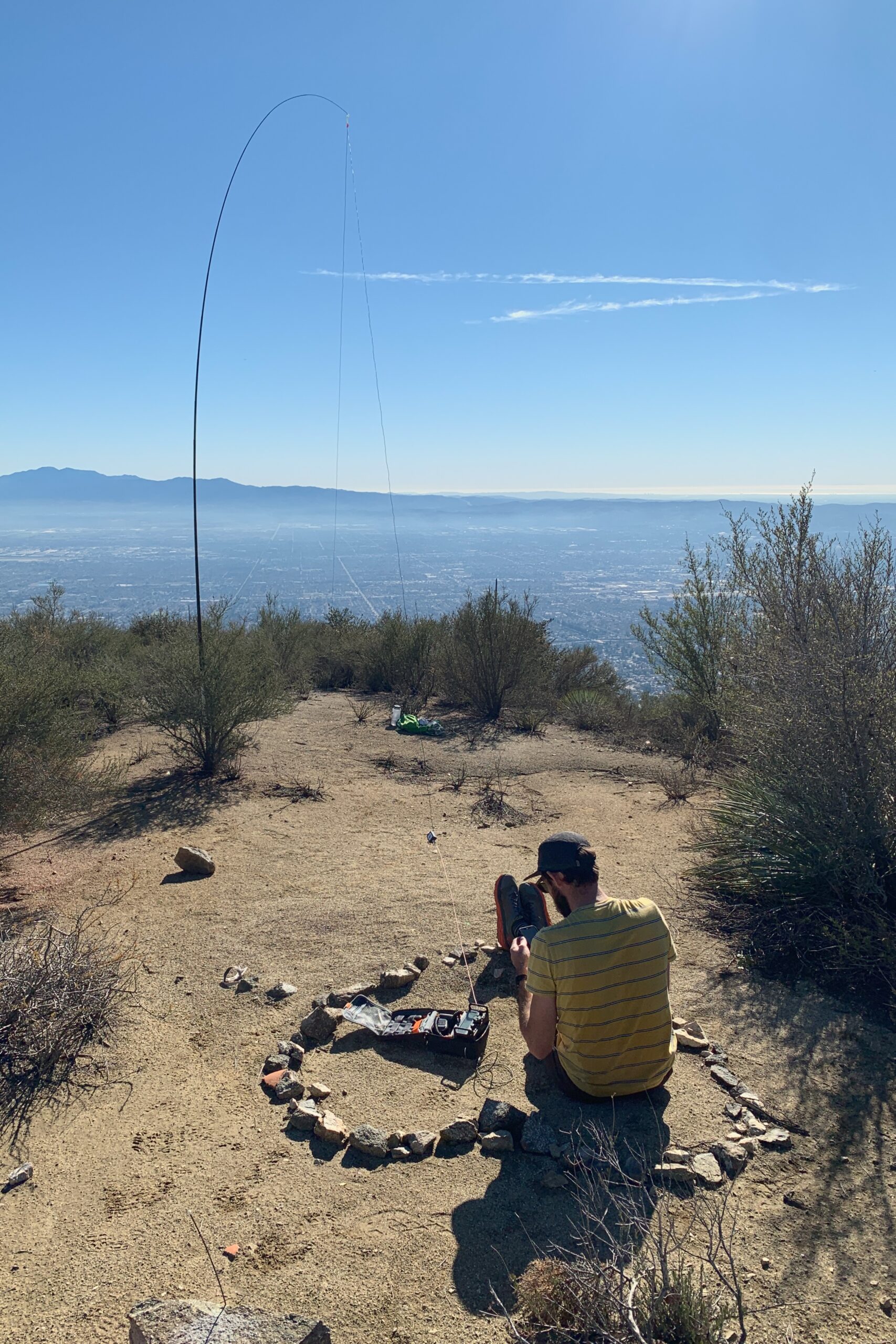
Ultimately, we parked along the highway on N Mountain Ave and picked our way up the ridgeline. Arriving at the summit, there isn’t a ton of room so two activators with wire antennas may have proved difficult. Luckily, I was only planning to use VHF with the view of the valley below so there were no issues, but something to keep in mind.
Website: https://www.sotadata.org.uk/en/summit/W6/CT-151
Map: https://caltopo.com/m/L232G
Trailhead: Park along the highway on N Mountain Ave.
Route: Pick your way up the ridge, not much of a trail to follow after a while, bushwhack up to the summit. 1.9mi to the top with 1,900′ of gain.
KN6RDC on W6/CT-151 (Frankish Peak), 18 Dec 2021