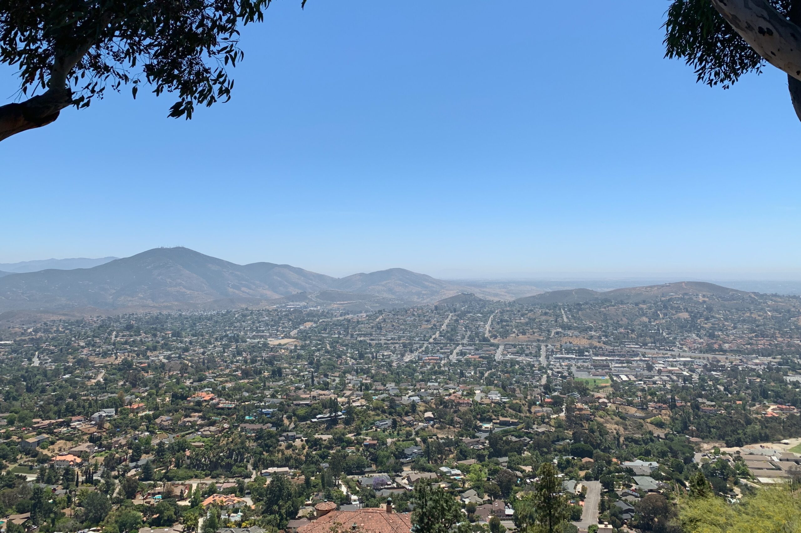
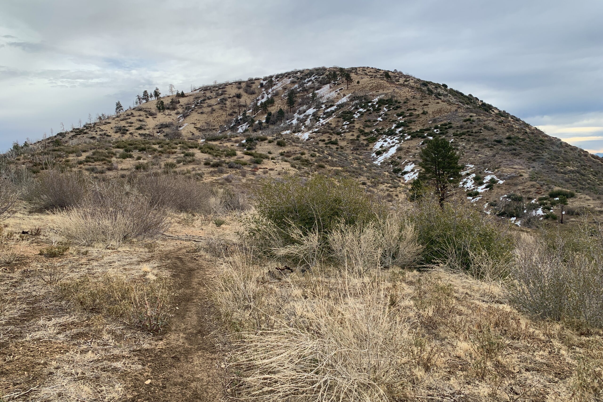
I was down in San Diego for work and had a few hours to kill before an event, so I drove over to this summit for a quick activation. There is a parking area just below the summit and it was busy so setting up an antenna was a bit tedious, but I ended up placing my mast behind a wall and ran the end fed along the wall so no one would get caught in it. I spotted, called CQ, and made some quick contacts on 40 meters. This was my first encounter with what is known as a “lid”. I checked to make sure the frequency was clear, so I’m not sure what I might have done to wrong this person, but I’ve added the recording of the odd behavior here. Luckily, K6CWC helped me through the interference, and I went QRT shortly after.
Let’s rewind a few months. January 22, I took both my boys as well as my dad with me on a short walk up to this peak. At the time, the only radio I owned was a VHF HT. I had planned to activate the peak, but my plans were foiled. I had spotted myself a handful of times and I called CQ for about 30 minutes straight before giving up with only 2 contacts logged. I was bummed at the time, but not for long.
Shortly after telling a few people about this failed attempt, some suggested learning Morse Code and using CW to get on some of the HF bands that were within my reach as a technician class license holder. A week later I had ordered a small, three-band, CW-only transceiver from Venus Technologies and a 3D-printed paddle from CW Morse. I also immediately signed up for the CW Academy Beginner course. All the while this failed activation was in the back of my head, but I now had found a way to circumvent this peak with poor VHF coverage.
Fast forward to the present, I learned the CW alphabet for the most part. I still get various letters confused with others and my numbers are horrible. But I have to start somewhere so why not a SOTA activation?
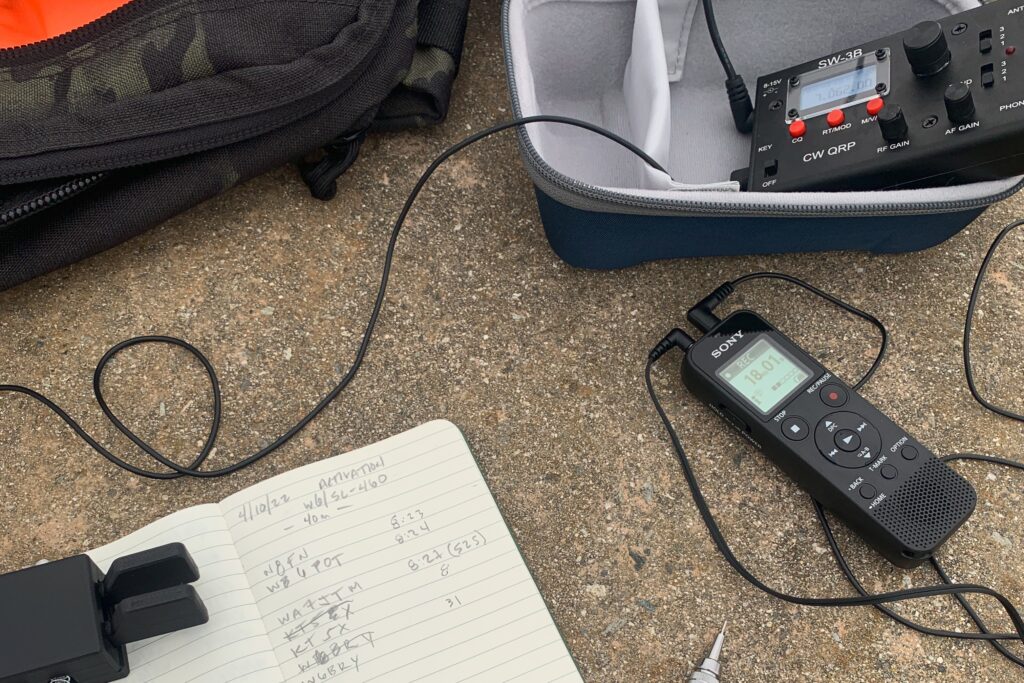
My plan for this activation was to do it with CW only on 40M since that’s what I can do as a technician with the equipment I currently have. Don’t let anyone make you think that you can’t operate CW as a tech. It’s possible and in my opinion, the best way to start. I got out to the peak early. I think I started calling CQ around 7:00 AM PST. The reason for this was to avoid a pileup and let me encourage you to do the same if you’re just getting started in SOTA and CW. It worked perfectly, all the QSOs were spread out evenly over about 20 minutes and no one was trying to get their call in over someone else. I could pick away at each call methodically without having the additional stress of multiple calls at once.
I digress, this is not a difficult peak to get to. Park at the end of Del Dios and take the bike path to the summit. The walk is about 5-10 minutes and there is no significant gain. Watch out for cyclists as it’s a heavily trafficked MTB area. I set up at a picnic bench just off the summit which had a nice space to run a 40m EFHW out without getting in anyone’s way.
Bear in mind that I started learning CW in February. I do appreciate how patient all the chasers were with me as I continued to ask for repeats over and over. Since this was my first CW activation, I recorded it so that I could listen to it again and check my log. Here is a clip of the first few QSOs that day.
I took my son (age 7) with me on this activation. I had done a bit of research ahead of time to make sure the roads were clear as my Prius can only get me so far in the mountains. We parked on the side of the road and started picking our way up the trail to Circle Mountain.
The trail is easy to follow and we made short work of it.
It was Winter SOTAfest so there were plenty of other people doing SOTA during this activation. I didn’t catch many of them with the limited time I had, but I still had a good time and fun with my son getting out in the mountains.
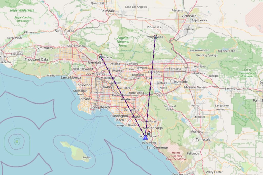
I used a Yaesu FT5DR and an N9TAX 2M/70CM Slim Jim Antenna for this activation. My last contact of the day was Neil K6KWI on W6/SC-371, about 60 miles away. That may be my furthest 2M contact yet.
Winter in California doesn’t feel the same as in other parts of North America. With it’s unique desert climate, getting out for a SOTA activation on New Year’s Eve may require nothing more than any other time of year. In this particular instance, I threw on a sweater, which for any outsider wouldn’t have seemed necessary in the slightest.
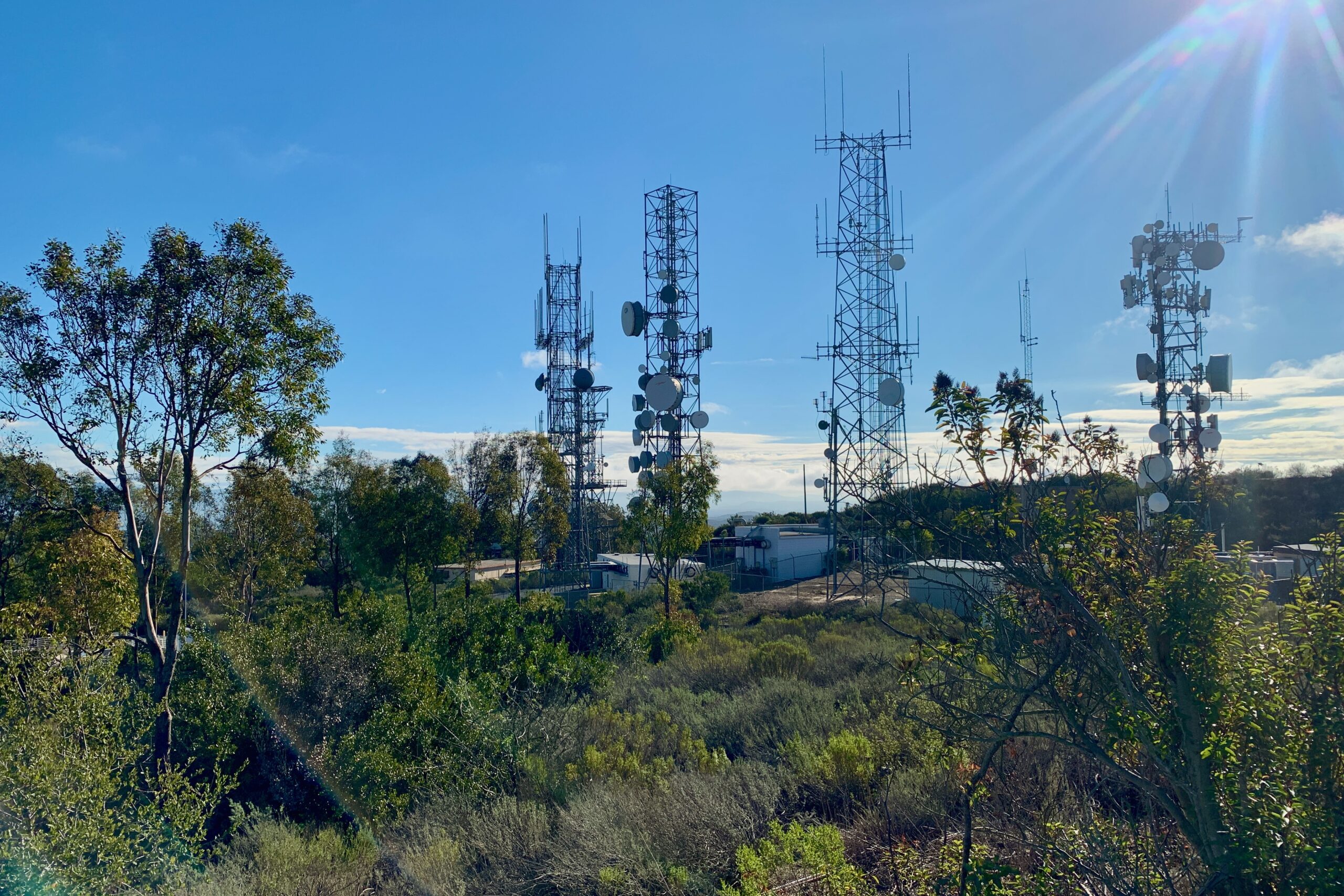
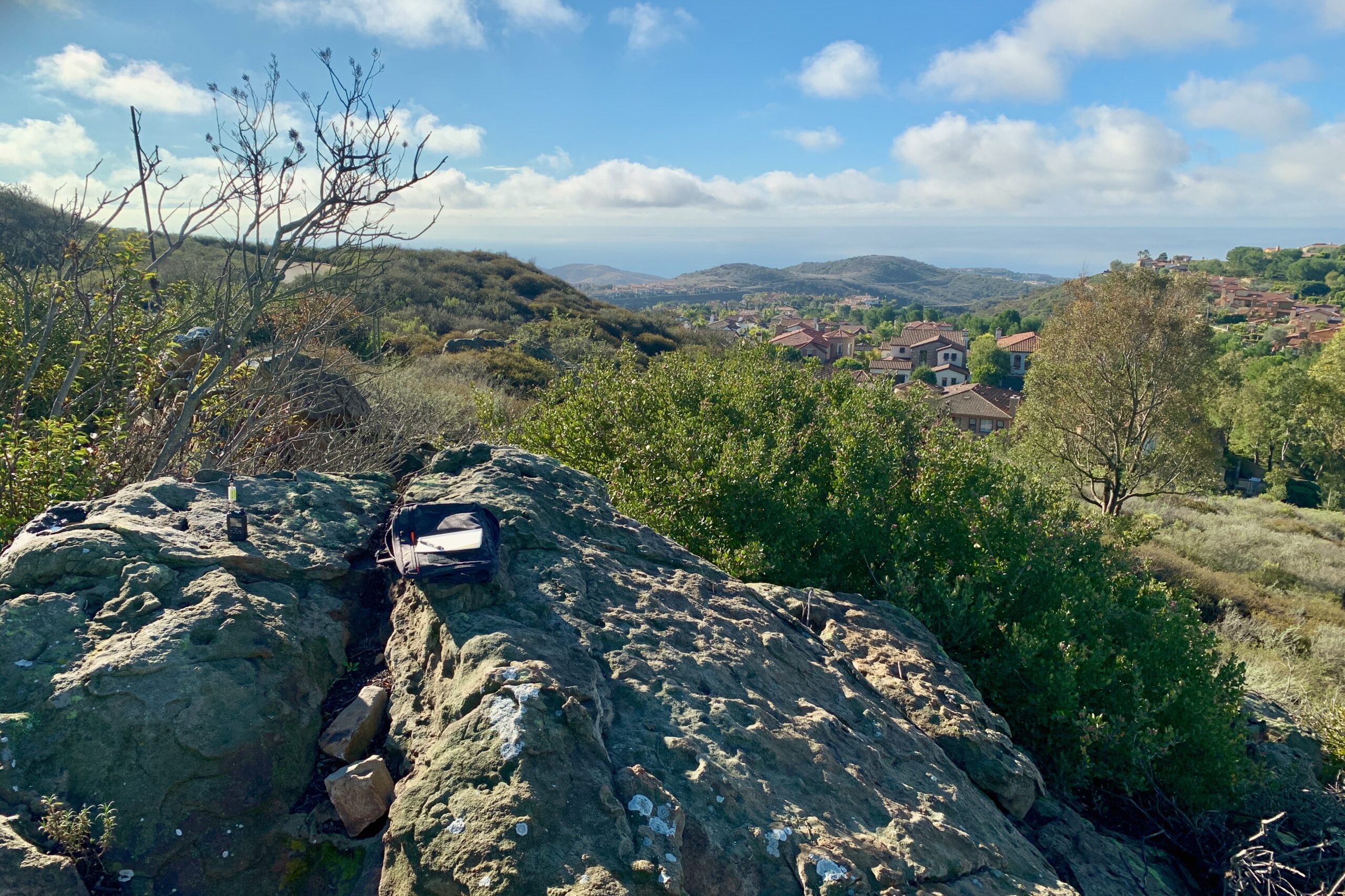
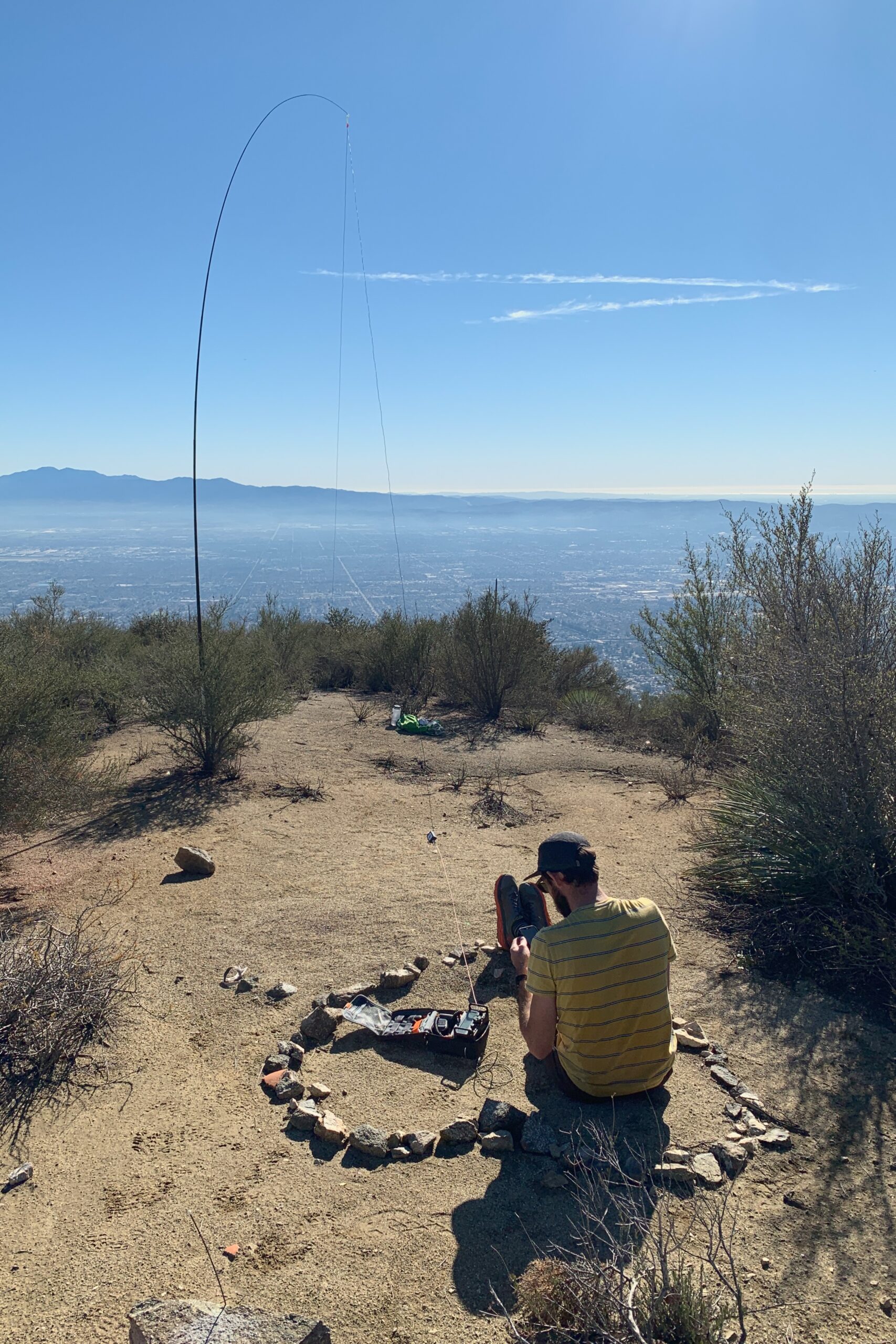
Signal Peak is located in Newport Beach, only a few minutes from Pacific Coast Highway. It’s mostly a residential area and the peak sits in the middle of some beautiful homes that overlook the Newport and Laguna coastline. Street parking is available all along Ridge Park Rd. It’s about a five-minute walk up a paved service road to the summit and you’re in the activation zone almost all the way up. As you pass the towers on your left, there is a rocky outcropping to the right. I sat on the largest of the rocks to try and get some height, although, without a bandpass filter, you may as well just not try VHF.
Not sure if it’s just me or if everyone has one of those friends who talk about outdoor activities like each trip is going to be a walk in the park, but every one of their adventures ends up being a brutal gut punch of physical and mental overexertion. No? Just me?
The first time Kevin KN6FNY and I went cycling together I arrived home, and after closing the front door behind me, proceeded to fall face down in the middle of my living room. I didn’t move until my wife had found me sometime later that day. My whole body ached for days. But I found I enjoyed it. I liked pushing my body past where I would normally stop. We kept riding together and although I don’t think I’ll ever match Kevin’s fitness level, his mini-adventures are always worth it and I now know what I’m in for when he says something like, “it’ll be mellow” or “I don’t remember it being that difficult”. It’s always hard, and it’s always rewarding.
Kevin had been activating SOTA peaks for a while before I even got my license. He had invited me out to bag these two peaks one day and I knew what I signed up for.
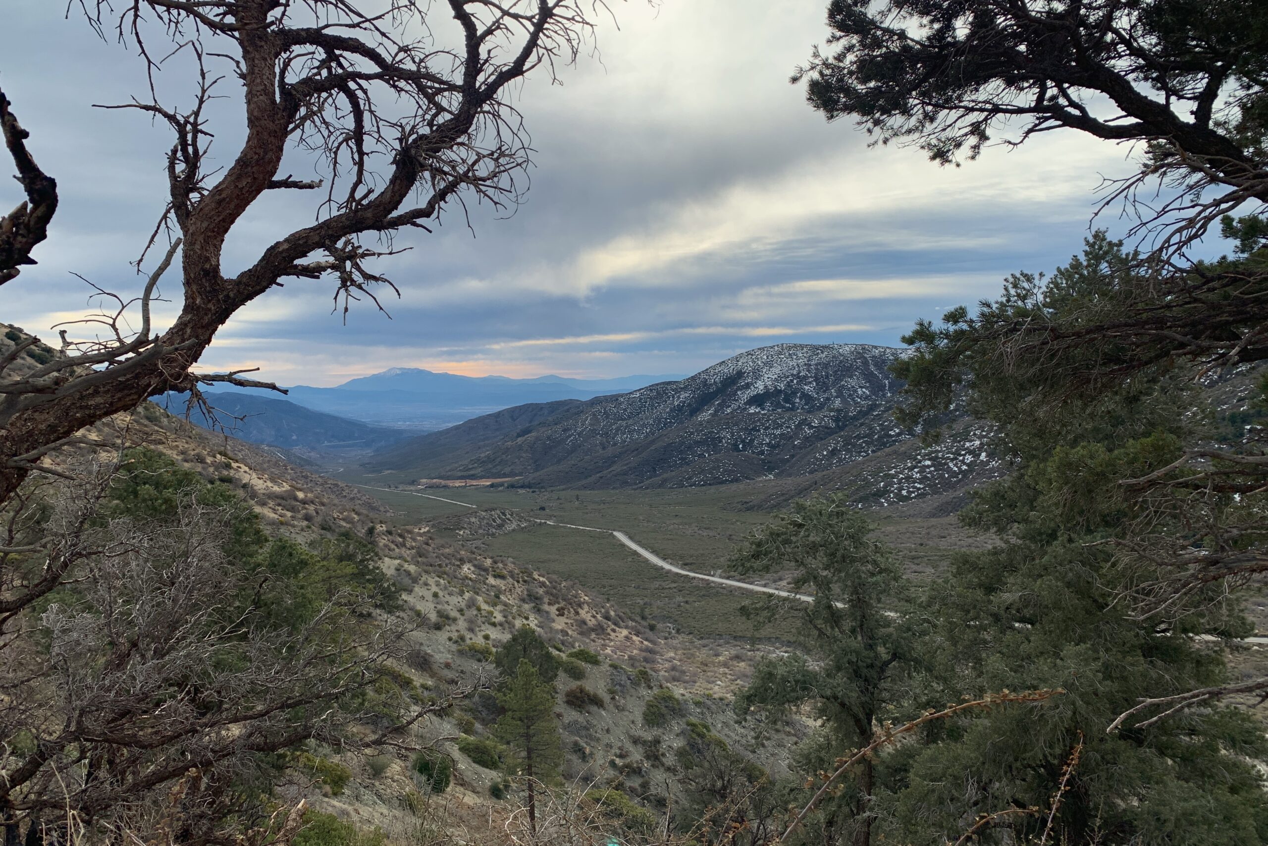
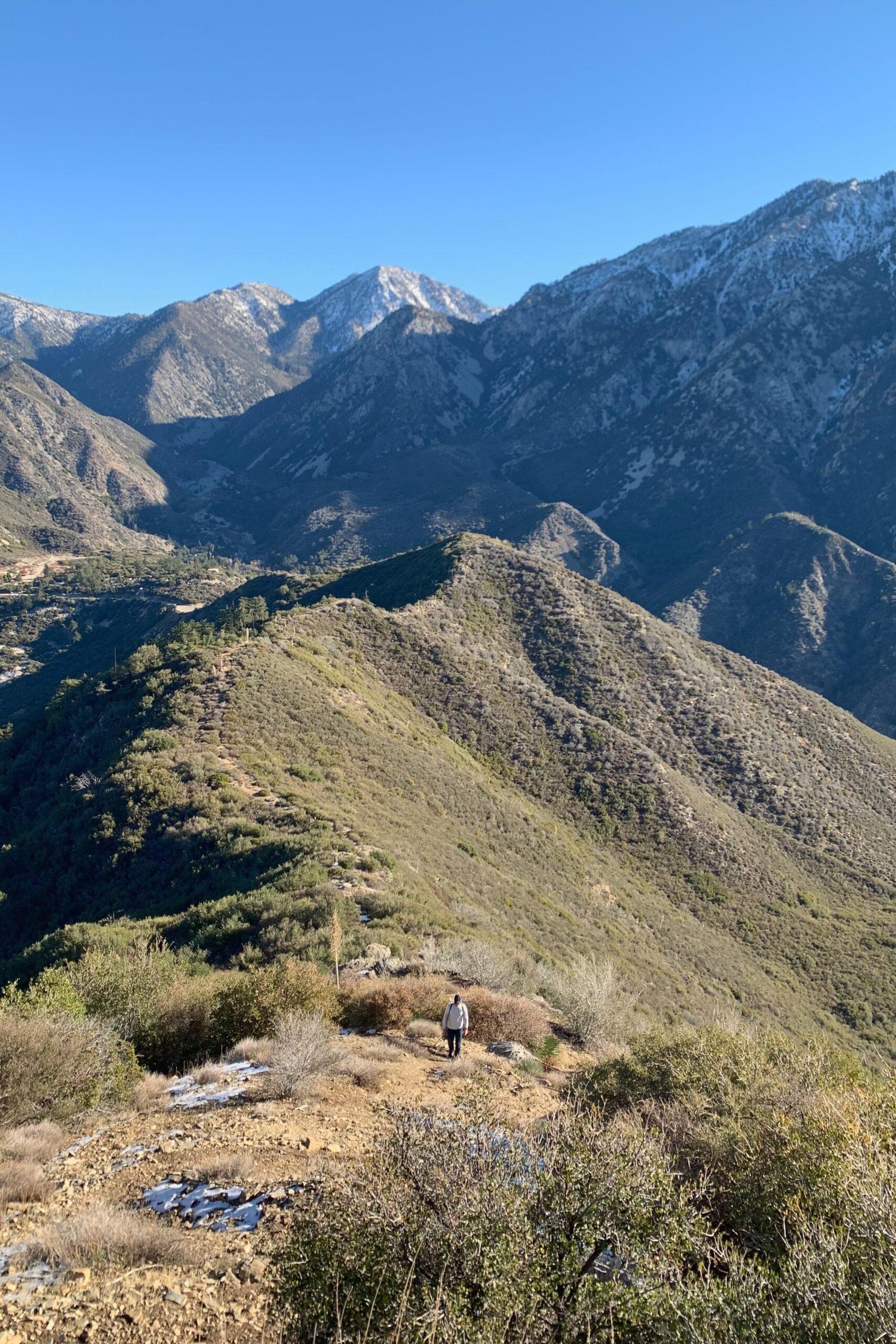
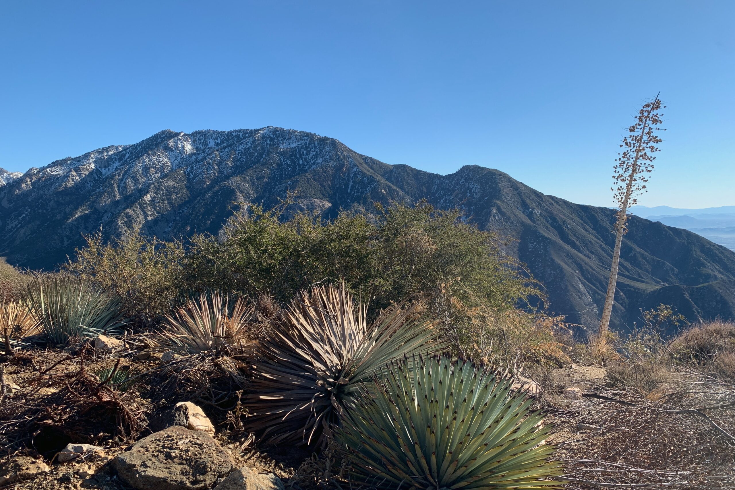
The road up to the trailhead for Sunset Peak was closed so we parked on the corner of Glendora Ridge Rd and Mount Baldy Rd. There are a few spots along the street just outside the gate and we were early enough to grab one before it filled up. We walked up the road about a mile past the gate, just shy of the trailhead. We took the firebreak along the ridge instead of the longer trail. Some sections were steep, but overall, I preferred it to the alternate route since we were planning on multiple summits that day. There were still a few patches of ice along the ridge, but nothing requiring anything more than careful foot placement.
The summit was large with plenty of space to spread out for a joint activation. Kevin KN6FNY set up for SSB while I made a few contacts on VHF.
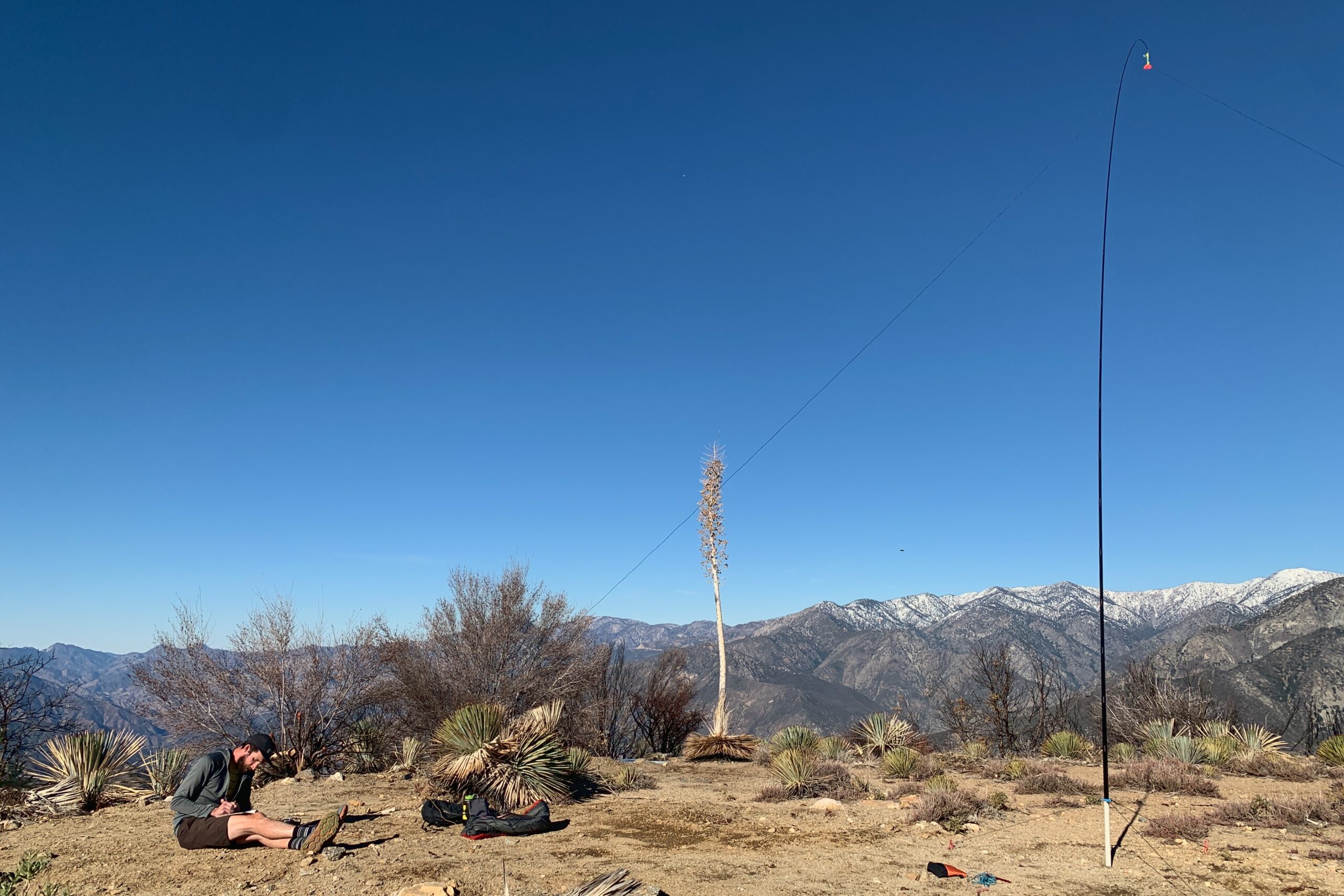
Frankish Peak is a grueling slog up some steep terrain. It felt a lot steeper than what the numbers show and this might have been because this was peak number two of the day. There is a significant amount of bushwacking in knee-to-chest-high scrub brush. If I were to do this peak again, I would plan for the longer route via the fire road from Mount Baldy Rd and run it.
Ultimately, we parked along the highway on N Mountain Ave and picked our way up the ridgeline. Arriving at the summit, there isn’t a ton of room so two activators with wire antennas may have proved difficult. Luckily, I was only planning to use VHF with the view of the valley below so there were no issues, but something to keep in mind.
It’s been about two months since I was at my local community center taking my ham radio exam for the technician license. I remember how stoked I was to have passed and couldn’t wait for my callsign to be sent to me. Here’s what arrived in my inbox from the VE.
Congratulations, KN6RDC!

Now we need phonetics...

Radical Daring Cruiser
Red Dog Collar
Roomy Dormitory Ceilings

Hmm.....

Steve K6UVR
Phonetically, I thought it sounded rad. Kilo November Six Romeo Delta Charlie. All that was left was to get on the air. I thought, why not a SOTA activation at my local peak?
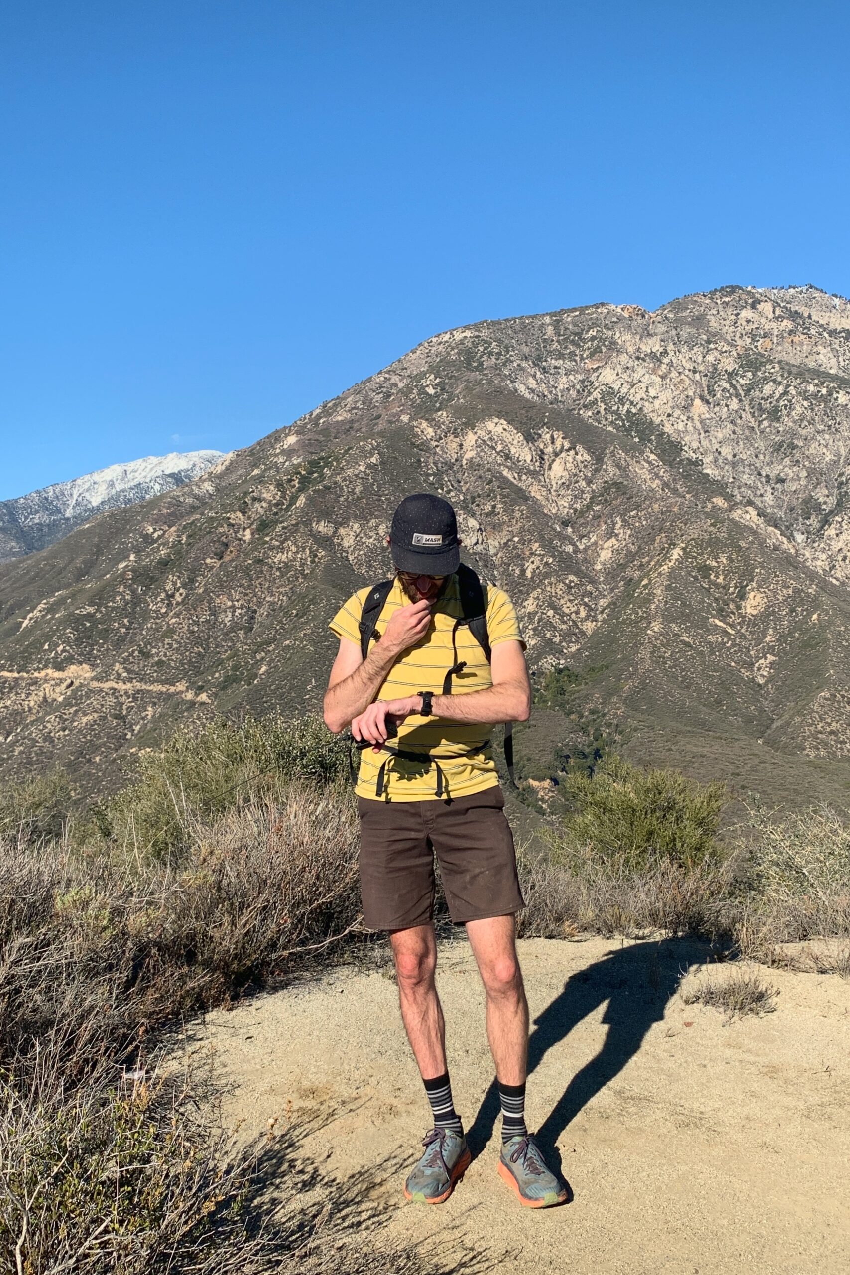
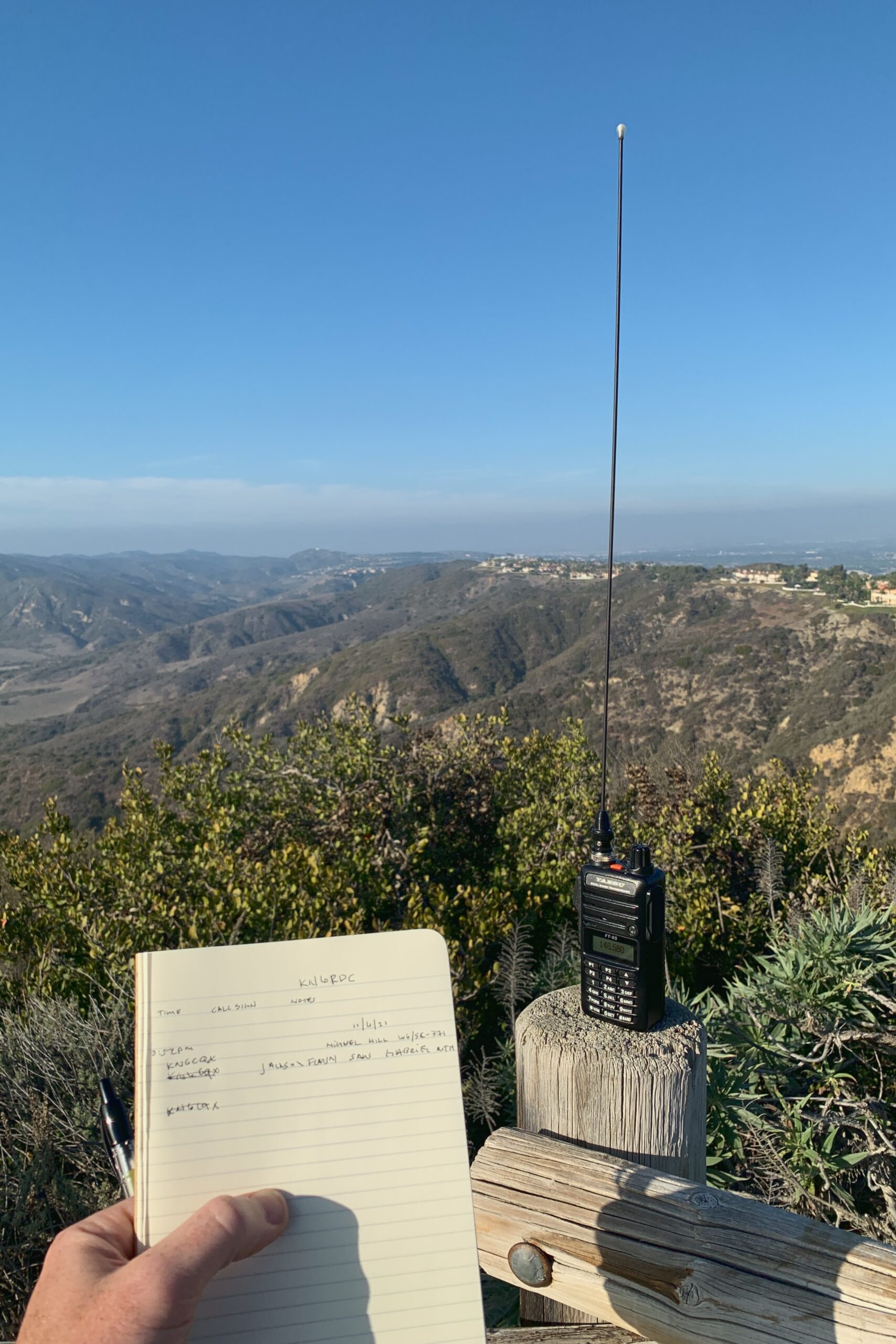
I threw my new Yaesu FT-65R into the passenger seat with a Moleskine notebook and pen, drove ten minutes down the road, and parked at Niguel Hill. It’s a drive-up summit I had known about for a while. I posted my spot on sotl.as while I was still in my car. I wasn’t set up and my log wasn’t even prepped. It was another 3-5 minutes before I even started calling CQ. I never re-spotted. I just called “CQ SOTA” until I got my first contact, KN6CQX. After flubbing around trying to log it, I eventually got back to calling CQ. Mike K6STR and Lorene W6LOR were nearing a summit and called me back once they reached their activation zone. Lorene’s call was very difficult for me to copy (which is comical in hindsight). I kept hearing W6 and writing K6 in my log. After getting two S2S contacts with Mike and Lorene, I texted KN6FNY letting him know I was on summit, and got my fourth contact making the activation official.
All in all, not bad for my first activation just after being licensed. I’m still learning phonetics, radio slang, and exchange protocol. This should be fun.